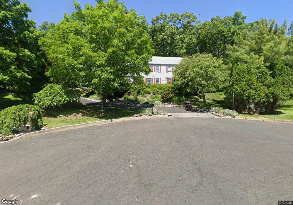
4590 Overlook Cir Doylestown, PA 18902
Estimated Value: $832,000 - $994,000
4
Beds
3
Baths
2,928
Sq Ft
$306/Sq Ft
Est. Value
About This Home
This home is located at 4590 Overlook Cir, Doylestown, PA 18902 and is currently estimated at $895,088, approximately $305 per square foot. 4590 Overlook Cir is a home located in Bucks County with nearby schools including Buckingham Elementary School, Holicong Middle School, and Central Bucks High School - East.
Ownership History
Date
Name
Owned For
Owner Type
Purchase Details
Closed on
Mar 13, 1996
Sold by
Leon Ephross Inc and Ruhmann Nelson
Bought by
King David W and Lainci Aida
Current Estimated Value
Home Financials for this Owner
Home Financials are based on the most recent Mortgage that was taken out on this home.
Original Mortgage
$110,000
Interest Rate
7.81%
Purchase Details
Closed on
Oct 8, 1986
Bought by
Ruhmann Nelson
Create a Home Valuation Report for This Property
The Home Valuation Report is an in-depth analysis detailing your home's value as well as a comparison with similar homes in the area
Home Values in the Area
Average Home Value in this Area
Purchase History
| Date | Buyer | Sale Price | Title Company |
|---|---|---|---|
| King David W | $230,000 | -- | |
| Ruhmann Nelson | $240,000 | -- |
Source: Public Records
Mortgage History
| Date | Status | Borrower | Loan Amount |
|---|---|---|---|
| Previous Owner | King David W | $110,000 |
Source: Public Records
Tax History
| Year | Tax Paid | Tax Assessment Tax Assessment Total Assessment is a certain percentage of the fair market value that is determined by local assessors to be the total taxable value of land and additions on the property. | Land | Improvement |
|---|---|---|---|---|
| 2025 | $7,522 | $46,200 | $10,240 | $35,960 |
| 2024 | $7,522 | $46,200 | $10,240 | $35,960 |
| 2023 | $7,267 | $46,200 | $10,240 | $35,960 |
| 2022 | $7,180 | $46,200 | $10,240 | $35,960 |
| 2021 | $7,094 | $46,200 | $10,240 | $35,960 |
| 2020 | $7,094 | $46,200 | $10,240 | $35,960 |
| 2019 | $7,048 | $46,200 | $10,240 | $35,960 |
| 2018 | $7,048 | $46,200 | $10,240 | $35,960 |
| 2017 | $6,990 | $46,200 | $10,240 | $35,960 |
| 2016 | $7,059 | $46,200 | $10,240 | $35,960 |
| 2015 | -- | $46,200 | $10,240 | $35,960 |
| 2014 | -- | $46,200 | $10,240 | $35,960 |
Source: Public Records
Map
Nearby Homes
- 2798 Forge Place
- 2918 Snake Hill Rd
- 3039 Durham Rd
- 5025 Anderson Rd
- 3455 & 3479 Durham Rd
- 3889 Robin Rd
- 2980 Yorkshire Rd
- 4203 Greenspire Ln
- 3775 Buckingham Dr
- 3689 Hancock Ln
- 3795 Route 202
- 3468 Holicong Rd
- 5358 York Rd
- 3660 Buttonwood Dr
- 1908 Durham Rd
- 117 Windover Ln
- 3960 S Mallard Ln
- 4448 Lower Mountain Rd
- 2096 Holicong Rd
- 6185 Mechanicsville Rd
- 4570 Overlook Cir
- 4585 Overlook Cir
- 4550 Overlook Cir
- 2903 Burnt House Hill Rd
- 4565 Overlook Cir
- 4545 Overlook Cir
- 2925 Burnt House Hill Rd
- 2850 W Fox Chase Cir
- 4530 Overlook Cir
- 2877 Burnt House Hill Rd
- 2840 W Fox Chase Cir
- 4525 Overlook Cir
- 2830 W Fox Chase Cir
- 4510 Overlook Cir
- 4561 French Dr
- 4565 French Dr
- 4557 French Dr
- 2899 Burnt House Hill Rd
- 2860 W Fox Chase Cir
- 4505 Overlook Cir
Your Personal Tour Guide
Ask me questions while you tour the home.