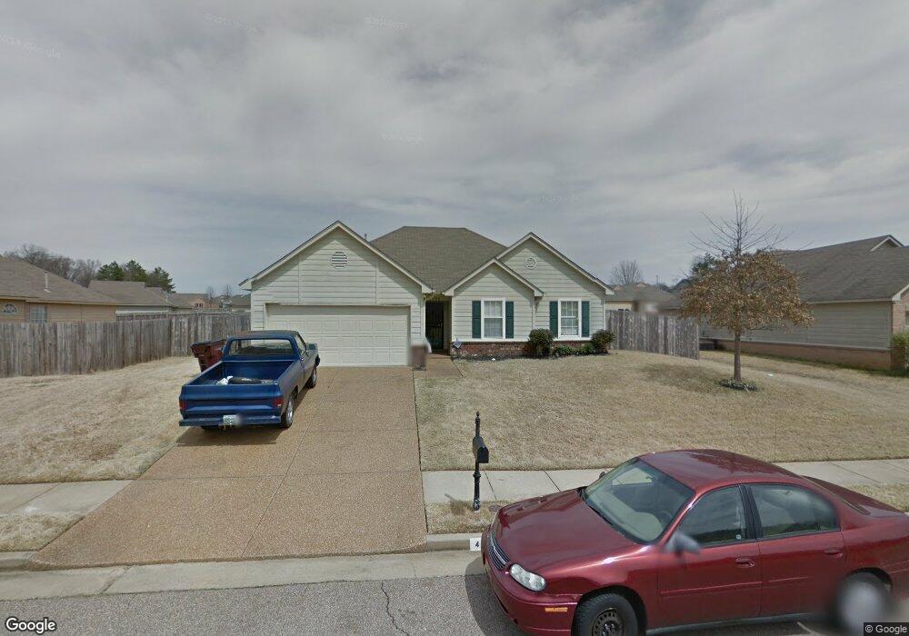
4596 Allendale Dr Memphis, TN 38128
Raleigh NeighborhoodEstimated Value: $157,000 - $181,000
3
Beds
2
Baths
1,437
Sq Ft
$117/Sq Ft
Est. Value
About This Home
This home is located at 4596 Allendale Dr, Memphis, TN 38128 and is currently estimated at $168,421, approximately $117 per square foot. 4596 Allendale Dr is a home located in Shelby County with nearby schools including Lucy Elementary School, Woodstock Middle School, and Bolton High School.
Ownership History
Date
Name
Owned For
Owner Type
Purchase Details
Closed on
Dec 3, 2007
Sold by
Us Bank Na
Bought by
Golden Charlett C
Current Estimated Value
Home Financials for this Owner
Home Financials are based on the most recent Mortgage that was taken out on this home.
Original Mortgage
$80,114
Interest Rate
6.12%
Mortgage Type
FHA
Purchase Details
Closed on
Dec 13, 2006
Sold by
Brunson Keith
Bought by
Us Bank Na and Home Equity Asset Trust 2003-6 Home Equi
Purchase Details
Closed on
Jul 14, 2003
Sold by
Hyneman Bronze Llc
Bought by
Brunson Keith
Home Financials for this Owner
Home Financials are based on the most recent Mortgage that was taken out on this home.
Original Mortgage
$101,600
Interest Rate
8.12%
Mortgage Type
Purchase Money Mortgage
Create a Home Valuation Report for This Property
The Home Valuation Report is an in-depth analysis detailing your home's value as well as a comparison with similar homes in the area
Home Values in the Area
Average Home Value in this Area
Purchase History
| Date | Buyer | Sale Price | Title Company |
|---|---|---|---|
| Golden Charlett C | $81,225 | Us Land Title Llc | |
| Us Bank Na | $108,585 | None Available | |
| Brunson Keith | $127,000 | Memphis Title Company |
Source: Public Records
Mortgage History
| Date | Status | Borrower | Loan Amount |
|---|---|---|---|
| Previous Owner | Golden Charlett C | $80,114 | |
| Previous Owner | Brunson Keith | $101,600 | |
| Closed | Brunson Keith | $19,050 |
Source: Public Records
Tax History
| Year | Tax Paid | Tax Assessment Tax Assessment Total Assessment is a certain percentage of the fair market value that is determined by local assessors to be the total taxable value of land and additions on the property. | Land | Improvement |
|---|---|---|---|---|
| 2025 | $1,081 | $33,800 | $4,500 | $29,300 |
| 2024 | $1,081 | $31,900 | $4,125 | $27,775 |
| 2023 | $1,081 | $31,900 | $4,125 | $27,775 |
| 2022 | $1,081 | $31,900 | $4,125 | $27,775 |
| 2021 | $1,084 | $31,425 | $4,125 | $27,300 |
| 2020 | $874 | $21,575 | $4,125 | $17,450 |
| 2019 | $874 | $21,575 | $4,125 | $17,450 |
| 2018 | $874 | $21,575 | $4,125 | $17,450 |
| 2017 | $887 | $21,575 | $4,125 | $17,450 |
| 2016 | $881 | $20,150 | $0 | $0 |
| 2014 | $881 | $20,150 | $0 | $0 |
Source: Public Records
Map
Nearby Homes
- 4756 Allendale Dr
- 3981 Glendale Dr
- 3953 Otter Dr
- 4329 W Hunters Glen St
- 4312 W Hunters Glen St
- 4328 W Hunters Glen St
- 4393 Bishop Hills Dr
- 3914 Springfield Dr
- 4395 Ann Arbor Ln
- 4450 Longtree Cove
- 4320 Northwood Hills Dr
- 4440 Coleman Rd
- 4473 Longtree Ave
- 4326 Ann Arbor Ln
- 4626 St Elmo Ave
- 4340 Elysian Dr
- 4087 Singleton Pkwy
- 4788 Hunters Glen Cove
- 4464 Cedar Ridge Ln
- 4053 Lehi Dr
- 4600 Allendale Dr
- 4196 Cedar Meadow Dr
- 4603 Cedar Pine Dr
- 4611 Cedar Pine Dr
- 4608 Allendale Dr
- 4206 Cedar Meadow Dr
- 4605 Allendale Dr
- 4619 Cedar Pine Dr
- 4595 Allendale Dr
- 4199 Cedar Meadow Dr
- 4599 Allendale Dr
- 4585 Allendale Dr
- 4605 Allendale Dr
- 4185 Rosswood Dr
- 4579 Allendale Dr
- 4211 Cedar Meadow Dr
- 4625 Cedar Pine Dr
- 4177 Rosswood Dr
- 4615 Allendale Dr
- 4573 Allendale Dr
Your Personal Tour Guide
Ask me questions while you tour the home.