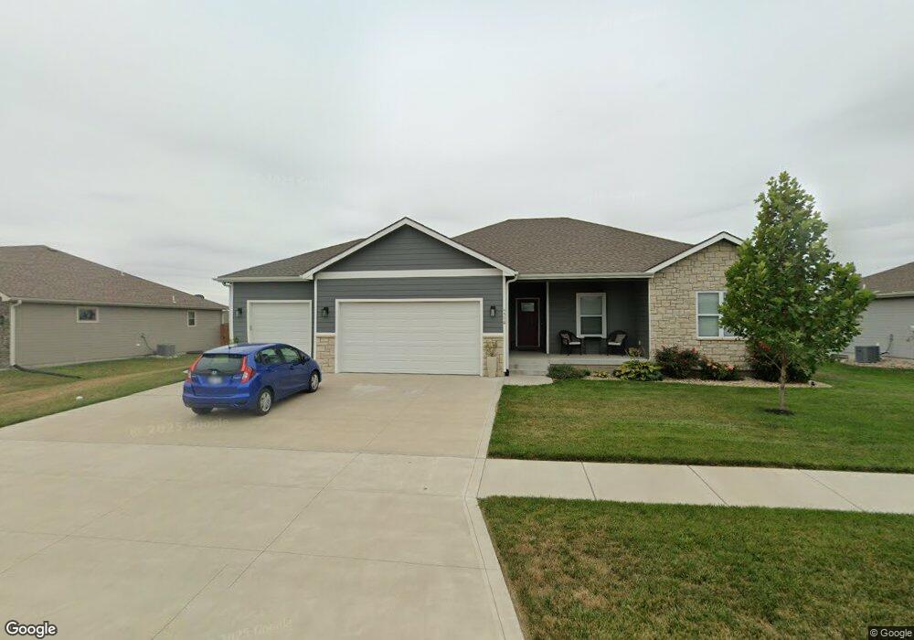
4596 Snapdragon Dr Manhattan, KS 66502
Estimated Value: $382,000 - $433,543
5
Beds
3
Baths
1,543
Sq Ft
$264/Sq Ft
Est. Value
About This Home
This home is located at 4596 Snapdragon Dr, Manhattan, KS 66502 and is currently estimated at $407,386, approximately $264 per square foot. 4596 Snapdragon Dr is a home with nearby schools including Bluemont Elementary School, Dwight D. Eisenhower Middle School, and Manhattan High School.
Ownership History
Date
Name
Owned For
Owner Type
Purchase Details
Closed on
May 31, 2022
Sold by
Dylan Heiman
Bought by
Dierks Robert and Martinek Alana Mae
Current Estimated Value
Home Financials for this Owner
Home Financials are based on the most recent Mortgage that was taken out on this home.
Original Mortgage
$398,646
Outstanding Balance
$378,780
Interest Rate
5.11%
Mortgage Type
FHA
Estimated Equity
$28,606
Purchase Details
Closed on
Dec 23, 2019
Sold by
Frazee Development Llc
Bought by
Heiman Dylan
Home Financials for this Owner
Home Financials are based on the most recent Mortgage that was taken out on this home.
Original Mortgage
$205,000
Interest Rate
3.73%
Mortgage Type
New Conventional
Create a Home Valuation Report for This Property
The Home Valuation Report is an in-depth analysis detailing your home's value as well as a comparison with similar homes in the area
Home Values in the Area
Average Home Value in this Area
Purchase History
| Date | Buyer | Sale Price | Title Company |
|---|---|---|---|
| Dierks Robert | $402,632 | None Listed On Document | |
| Heiman Dylan | -- | None Available |
Source: Public Records
Mortgage History
| Date | Status | Borrower | Loan Amount |
|---|---|---|---|
| Open | Dierks Robert | $398,646 | |
| Previous Owner | Heiman Dylan | $205,000 |
Source: Public Records
Tax History Compared to Growth
Tax History
| Year | Tax Paid | Tax Assessment Tax Assessment Total Assessment is a certain percentage of the fair market value that is determined by local assessors to be the total taxable value of land and additions on the property. | Land | Improvement |
|---|---|---|---|---|
| 2025 | $2,074 | $47,077 | $3,623 | $43,454 |
| 2024 | $66 | $46,966 | $3,686 | $43,280 |
| 2023 | $6,838 | $46,690 | $3,635 | $43,055 |
| 2022 | $4,810 | $29,033 | $3,586 | $25,447 |
| 2021 | $4,810 | $26,883 | $3,448 | $23,435 |
| 2020 | $4,810 | $26,723 | $3,448 | $23,275 |
| 2019 | $2,460 | $3,454 | $3,454 | $0 |
| 2018 | $2,080 | $63 | $63 | $0 |
Source: Public Records
Map
Nearby Homes
- 9994 Lavender Ln
- 9929 Jasmine Dr
- 9779 Heather Ln
- 9915 Weeping Willow Dr
- 4588 Phlox Cir
- 9911 Lavender Ln
- 9900 Weeping Willow Dr
- 9880 Weeping Willow Dr
- 9878 Weeping Willow Dr
- 9876 Weeping Willow Dr
- 4654 Pierce Dr
- 4105 Tyler Ct
- 4098 Tyler Ct
- 9176 Dave Dr
- 9179 Bullfrog Dr
- 9168 Dave Dr
- 4881 Nature Ave
- 4884 Nature Ave
- 4860 Nature Ave
- 4852 Nature Ave
- 4600 Snapdragon Dr
- 4592 Snapdragon Dr
- 4608 Camphor Cir
- 4612 Camphor Cir
- 4604 Snapdragon Dr
- 9972 Hollyhock Dr
- 4604 Camphor Cir
- 0 Camphor Cir
- 9969 Holly Hock Dr
- 9829 Heather Ln
- 9976 Hollyhock Dr
- 9825 Heather Ln
- 4600 Camphor Cir
- 9831 Heather Ln
- 9838 Heather Ln
- 9954 Jasmine Dr
- 9821 Heather Ln
- 9973 Hollyhock Dr
- 9816 Heather Ln
- 9835 Heather Ln