Estimated Value: $134,829 - $148,000
3
Beds
2
Baths
1,218
Sq Ft
$115/Sq Ft
Est. Value
About This Home
This home is located at 4597 Cox Dr Unit A, Stow, OH 44224 and is currently estimated at $139,707, approximately $114 per square foot. 4597 Cox Dr Unit A is a home located in Summit County with nearby schools including Stow-Munroe Falls High School, Primrose School of Hudson, and Holy Family Elementary School.
Ownership History
Date
Name
Owned For
Owner Type
Purchase Details
Closed on
Dec 26, 2023
Sold by
Valaitis Joseph K
Bought by
Hardke Ruth M
Current Estimated Value
Home Financials for this Owner
Home Financials are based on the most recent Mortgage that was taken out on this home.
Original Mortgage
$77,900
Outstanding Balance
$76,658
Interest Rate
7.44%
Mortgage Type
New Conventional
Estimated Equity
$63,049
Purchase Details
Closed on
Oct 29, 2004
Sold by
Valaitis Joseph K and Valaitis Rasa L
Bought by
Valaitis Joseph K
Create a Home Valuation Report for This Property
The Home Valuation Report is an in-depth analysis detailing your home's value as well as a comparison with similar homes in the area
Home Values in the Area
Average Home Value in this Area
Purchase History
| Date | Buyer | Sale Price | Title Company |
|---|---|---|---|
| Hardke Ruth M | $82,010 | Nations Lending Services | |
| Valaitis Joseph K | -- | -- |
Source: Public Records
Mortgage History
| Date | Status | Borrower | Loan Amount |
|---|---|---|---|
| Open | Hardke Ruth M | $77,900 |
Source: Public Records
Tax History
| Year | Tax Paid | Tax Assessment Tax Assessment Total Assessment is a certain percentage of the fair market value that is determined by local assessors to be the total taxable value of land and additions on the property. | Land | Improvement |
|---|---|---|---|---|
| 2024 | $2,160 | $36,586 | $4,379 | $32,207 |
| 2023 | $3,169 | $36,586 | $4,379 | $32,207 |
| 2022 | $1,834 | $27,304 | $3,269 | $24,035 |
| 2021 | $1,652 | $27,304 | $3,269 | $24,035 |
| 2020 | $1,625 | $27,310 | $3,270 | $24,040 |
| 2019 | $1,522 | $23,840 | $3,230 | $20,610 |
| 2018 | $1,500 | $23,850 | $3,060 | $20,790 |
| 2017 | $1,440 | $23,850 | $3,060 | $20,790 |
| 2016 | $1,468 | $22,200 | $3,060 | $19,140 |
| 2015 | $1,440 | $22,200 | $3,060 | $19,140 |
| 2014 | $1,441 | $22,200 | $3,060 | $19,140 |
| 2013 | $1,589 | $24,750 | $3,060 | $21,690 |
Source: Public Records
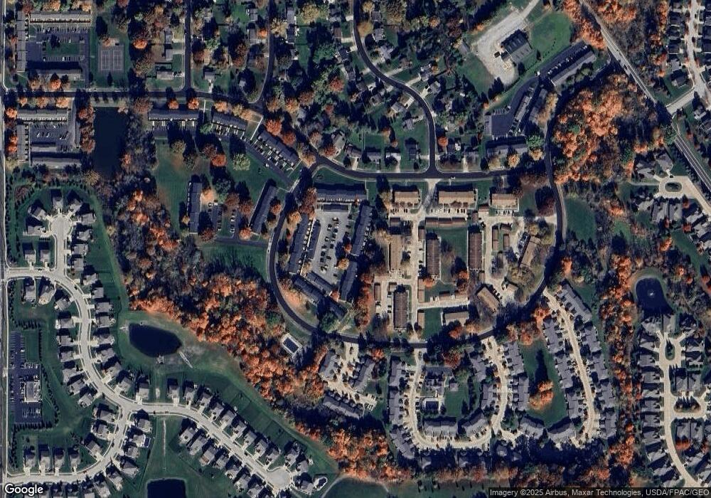
Map
Nearby Homes
- 4625 Cox Dr Unit B
- 4623 Cox Dr
- 2352 Becket Cir
- 1921-1929 Ritchie Rd
- 2221 Crockett Cir
- 4424 Timberdale Dr Unit 4428
- 1525 Spruce Hill Dr
- 1953 Arndale Rd
- 5026 Portland Cove
- 5091 Ridge Meadow Dr
- 5050 Lake Point Ct
- 5123 Sodalite Dr
- 5150 Bayside Lake Blvd
- V/L Norton Rd
- 5163 Beckett Ridge
- 2344 Echo Valley Dr
- 4534 Foresthill Rd
- 4728 Fishcreek Rd
- 2055-2059 Bryn Mawr Dr
- 4706-4710 Maple Spur Dr
- 4597 Cox Dr
- 4597 Cox Dr
- 4595 Cox Dr Unit A
- 4595 Cox Dr
- 4595 Cox Dr
- 4595 Cox Dr Unit D-107
- 4595 Cox Dr Unit B
- 4593 Cox Dr Unit B
- 4593 Cox Dr
- 4593 Cox Dr Unit 107E
- 4593 Cox Dr Unit A
- 4599 Cox Dr
- 4599 Cox Dr
- 4599 Cox Dr Unit B
- 4591 Cox Dr Unit A
- 4591 Cox Dr Unit 107H
- 4591 Cox Dr Unit B
- 4591 Cox Dr
- 4601 Cox Dr Unit B
- 4601 Cox Dr Unit A
Your Personal Tour Guide
Ask me questions while you tour the home.