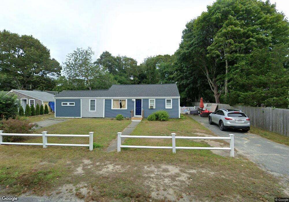
46-48 Nauhaught Rd South Yarmouth, MA 2664
Estimated Value: $465,000 - $576,000
3
Beds
2
Baths
1,205
Sq Ft
$430/Sq Ft
Est. Value
About This Home
This home is located at 46-48 Nauhaught Rd, South Yarmouth, MA 2664 and is currently estimated at $518,481, approximately $430 per square foot. 46-48 Nauhaught Rd is a home located in Barnstable County with nearby schools including Dennis-Yarmouth Regional High School and St. Pius X. School.
Ownership History
Date
Name
Owned For
Owner Type
Purchase Details
Closed on
Apr 11, 2024
Sold by
Jatczak John and Jatczak Heather
Bought by
Jatczak Int and Jatczak J
Current Estimated Value
Purchase Details
Closed on
Mar 11, 2022
Sold by
Uppendahl Mark S and Uppendahl Joan M
Bought by
Jatczak John and Jatczak Heather
Home Financials for this Owner
Home Financials are based on the most recent Mortgage that was taken out on this home.
Original Mortgage
$238,000
Interest Rate
3.92%
Mortgage Type
Purchase Money Mortgage
Purchase Details
Closed on
Jun 30, 2015
Sold by
Eah Nt and Hartranft
Bought by
Uppendahl Mark S and Uppendahl Joan M
Home Financials for this Owner
Home Financials are based on the most recent Mortgage that was taken out on this home.
Original Mortgage
$158,000
Interest Rate
3%
Mortgage Type
New Conventional
Create a Home Valuation Report for This Property
The Home Valuation Report is an in-depth analysis detailing your home's value as well as a comparison with similar homes in the area
Home Values in the Area
Average Home Value in this Area
Purchase History
| Date | Buyer | Sale Price | Title Company |
|---|---|---|---|
| Jatczak Int | -- | None Available | |
| Jatczak Int | -- | None Available | |
| Jatczak John | $340,000 | None Available | |
| Uppendahl Mark S | $197,500 | -- | |
| Uppendahl Mark S | $197,500 | -- |
Source: Public Records
Mortgage History
| Date | Status | Borrower | Loan Amount |
|---|---|---|---|
| Previous Owner | Jatczak John | $238,000 | |
| Previous Owner | Uppendahl Mark S | $158,000 |
Source: Public Records
Tax History Compared to Growth
Tax History
| Year | Tax Paid | Tax Assessment Tax Assessment Total Assessment is a certain percentage of the fair market value that is determined by local assessors to be the total taxable value of land and additions on the property. | Land | Improvement |
|---|---|---|---|---|
| 2025 | $2,479 | $350,100 | $166,300 | $183,800 |
| 2024 | $2,368 | $320,900 | $144,700 | $176,200 |
| 2023 | $2,493 | $307,400 | $131,500 | $175,900 |
| 2022 | $2,590 | $282,100 | $125,500 | $156,600 |
| 2021 | $2,421 | $253,200 | $125,500 | $127,700 |
| 2020 | $2,383 | $238,300 | $132,800 | $105,500 |
| 2019 | $2,310 | $228,700 | $132,800 | $95,900 |
| 2018 | $2,125 | $206,500 | $110,600 | $95,900 |
| 2017 | $1,982 | $197,800 | $110,600 | $87,200 |
| 2016 | $1,886 | $189,000 | $101,800 | $87,200 |
| 2015 | $1,853 | $184,600 | $97,400 | $87,200 |
Source: Public Records
Map
Nearby Homes
- 46 Nauhaught Rd
- 46 Nauhaught Rd Unit 46&48
- 42 Nauhaught Rd
- 52 Nauhaught Rd
- 78 Indian Memorial Dr
- 41 Nauhaught Rd
- 227 Wood Rd
- 82 Indian Memorial Dr
- 68 Indian Memorial Dr
- 207 Wood Rd
- 218 Wood Rd
- 231 Wood Rd
- 33 Nauhaught Rd
- 88 Indian Memorial Dr
- 226 Wood Rd
- 73 Indian Memorial Dr
- 102 Pond St
- 206 Wood Rd
- 77 Indian Memorial Dr
- 203 Wood Rd