46 Bay Harbor Dr Bigfork, MT 59911
Estimated Value: $839,000 - $1,011,000
3
Beds
4
Baths
2,595
Sq Ft
$355/Sq Ft
Est. Value
About This Home
This home is located at 46 Bay Harbor Dr, Bigfork, MT 59911 and is currently estimated at $920,980, approximately $354 per square foot. 46 Bay Harbor Dr is a home located in Flathead County with nearby schools including Bigfork Elementary School, Bigfork Middle School, and Bigfork High School.
Ownership History
Date
Name
Owned For
Owner Type
Purchase Details
Closed on
Apr 18, 2018
Sold by
Ranosn Ronald Boyd and Ranosn Michelle M
Bought by
Ranson Ronald B and Ranson Michelle M
Current Estimated Value
Purchase Details
Closed on
Sep 23, 2010
Sold by
Warren Ralph E and Warren Patricia M
Bought by
Ransom Ronald Boyd and Ransom Michelle M
Purchase Details
Closed on
Dec 15, 2008
Sold by
Hardan Allan R and Hardan Deborah F
Bought by
Warren Ralph E and Warren Patricia M
Home Financials for this Owner
Home Financials are based on the most recent Mortgage that was taken out on this home.
Original Mortgage
$250,000
Interest Rate
5.5%
Mortgage Type
FHA
Purchase Details
Closed on
Jul 13, 2007
Sold by
Rocky Mountain Recreational Communities
Bought by
Hardan Allan R and Hardan Deborah F
Home Financials for this Owner
Home Financials are based on the most recent Mortgage that was taken out on this home.
Original Mortgage
$200,700
Interest Rate
6.41%
Mortgage Type
FHA
Create a Home Valuation Report for This Property
The Home Valuation Report is an in-depth analysis detailing your home's value as well as a comparison with similar homes in the area
Home Values in the Area
Average Home Value in this Area
Purchase History
| Date | Buyer | Sale Price | Title Company |
|---|---|---|---|
| Ranson Ronald B | -- | None Available | |
| Ransom Ronald Boyd | -- | Insured Titles | |
| Warren Ralph E | -- | Alliance Title | |
| Hardan Allan R | -- | Alliance Title |
Source: Public Records
Mortgage History
| Date | Status | Borrower | Loan Amount |
|---|---|---|---|
| Previous Owner | Warren Ralph E | $250,000 | |
| Previous Owner | Hardan Allan R | $200,700 |
Source: Public Records
Tax History
| Year | Tax Paid | Tax Assessment Tax Assessment Total Assessment is a certain percentage of the fair market value that is determined by local assessors to be the total taxable value of land and additions on the property. | Land | Improvement |
|---|---|---|---|---|
| 2025 | $4,234 | $1,057,100 | $0 | $0 |
| 2024 | $3,940 | $705,900 | $0 | $0 |
| 2023 | $3,981 | $705,900 | $0 | $0 |
| 2022 | $4,169 | $529,300 | $0 | $0 |
| 2021 | $4,161 | $529,300 | $0 | $0 |
| 2020 | $3,972 | $488,500 | $0 | $0 |
| 2019 | $3,831 | $488,500 | $0 | $0 |
| 2018 | $3,930 | $477,008 | $0 | $0 |
| 2017 | $3,843 | $477,008 | $0 | $0 |
| 2016 | $3,562 | $444,400 | $0 | $0 |
| 2015 | $3,303 | $444,400 | $0 | $0 |
| 2014 | $3,522 | $285,776 | $0 | $0 |
Source: Public Records
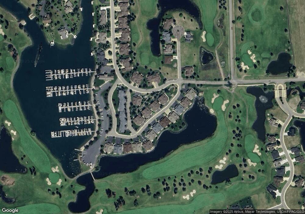
Map
Nearby Homes
- 68 Bay Harbor Dr
- 2084 Marina Ct
- 2036 Marina Ct
- D-25 Eagle Bend Yacht Harbor 35'
- A 33 Eagle Bend Yacht Harbor 44'
- 1001 Lake Pointe Dr
- NHN Eagle Bend Dr
- 20 Marina Way
- 1114 Lake Pointe Dr
- 147 Bjork Dr
- 266 Eagle Bend Dr
- 94 Golf Terrace
- 151 Bjork Dr
- 73 Golf Terrace
- 39 Golf Terrace Unit 5
- 175 Aerie Place
- 623 Mill Pond Place
- 173 Fox Run Ct
- 181 Fox Run Ct
- 161 Fox Run Ct
- 42 Bay Harbor Dr
- 52 Bay Harbor Dr
- 50 Bay Harbor Dr
- 38 Bay Harbor Dr
- 58 Bay Harbor Dr
- 395 Eagle Bend Dr
- 34 Harbor Dr
- 62 Bay Harbor Dr
- 34 Bay Harbor Dr
- 55 Bay Harbor Dr
- 385 Eagle Bend Dr
- 51 Bay Harbor Dr
- 59 Bay Harbor Dr
- 323 Marina Cay
- 356 Marina Cay
- 262 Marina Cay
- 358 Marina Cay
- 304 Marina Cay
- 237 Marina Cay
- 252 Marina Cay
Your Personal Tour Guide
Ask me questions while you tour the home.