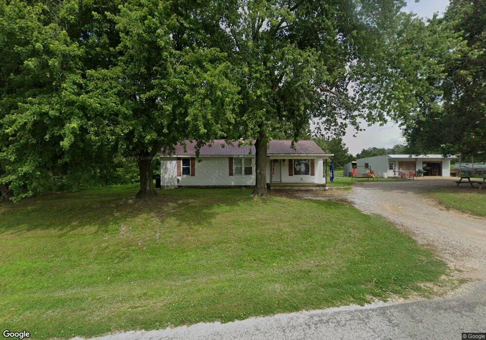
46 Bob Craig Rd Kenton, TN 38233
Estimated Value: $116,000 - $169,865
--
Bed
1
Bath
1,293
Sq Ft
$112/Sq Ft
Est. Value
About This Home
This home is located at 46 Bob Craig Rd, Kenton, TN 38233 and is currently estimated at $144,622, approximately $111 per square foot. 46 Bob Craig Rd is a home located in Gibson County with nearby schools including Rutherford Elementary School and Gibson County High School.
Ownership History
Date
Name
Owned For
Owner Type
Purchase Details
Closed on
Jul 28, 2022
Sold by
Gilland Franklin O
Bought by
Gilliland Franklin O and Mossner Kimberly
Current Estimated Value
Purchase Details
Closed on
Oct 17, 2016
Sold by
Snowden Walter Ruggles
Bought by
Gilliland Franklin O and Gilliland Betty J
Home Financials for this Owner
Home Financials are based on the most recent Mortgage that was taken out on this home.
Original Mortgage
$27,000
Interest Rate
3.48%
Mortgage Type
New Conventional
Purchase Details
Closed on
Jul 6, 2004
Bought by
Snowden Walter Ruggles and Nelson Beverly K
Purchase Details
Closed on
Jan 27, 1995
Sold by
Faught Willie A and Faught Virgie W
Bought by
Faught Buddie E and Faught Sharon B
Create a Home Valuation Report for This Property
The Home Valuation Report is an in-depth analysis detailing your home's value as well as a comparison with similar homes in the area
Home Values in the Area
Average Home Value in this Area
Purchase History
| Date | Buyer | Sale Price | Title Company |
|---|---|---|---|
| Gilliland Franklin O | $10,000 | Smith Jeffrey A | |
| Gilliland Franklin O | $10,000 | Smith Jeffrey A | |
| Gilliland Franklin O | $30,000 | -- | |
| Snowden Walter Ruggles | $59,000 | -- | |
| Faught Buddie E | $18,700 | -- |
Source: Public Records
Mortgage History
| Date | Status | Borrower | Loan Amount |
|---|---|---|---|
| Previous Owner | Gilliland Franklin O | $27,000 |
Source: Public Records
Tax History Compared to Growth
Tax History
| Year | Tax Paid | Tax Assessment Tax Assessment Total Assessment is a certain percentage of the fair market value that is determined by local assessors to be the total taxable value of land and additions on the property. | Land | Improvement |
|---|---|---|---|---|
| 2024 | $494 | $23,000 | $6,725 | $16,275 |
| 2023 | $477 | $15,325 | $4,800 | $10,525 |
| 2022 | $466 | $15,325 | $4,800 | $10,525 |
| 2021 | $466 | $15,325 | $4,800 | $10,525 |
| 2020 | $466 | $15,325 | $4,800 | $10,525 |
| 2019 | $422 | $15,325 | $4,800 | $10,525 |
| 2018 | $394 | $12,450 | $3,725 | $8,725 |
| 2017 | $336 | $10,800 | $3,725 | $7,075 |
| 2016 | $336 | $10,800 | $3,725 | $7,075 |
| 2015 | -- | $10,800 | $3,725 | $7,075 |
| 2014 | -- | $11,025 | $3,725 | $7,300 |
Source: Public Records
Map
Nearby Homes
- 944 Mcknight St
- 109 Smith Ave
- 407 Fain St
- 61 Con Pennington Rd
- 624 W Main St
- 511 W Knox St
- 403 W Knox St
- 404 Mcknight St
- 321 W Main St
- 130 Callis Dr
- 113 Mcknight St
- 112 Fox St
- 107 Hopper St
- 502 E Main St
- 111 Old Rutherford Kenton Rd
- 209 Hillside St
- 901 S Trenton St
- 23 Gravettes Crossing Rd W
- 507 Tilghman St
- 204 Flowers St
- 37 Bob Craig Rd
- 15 Bob Craig Rd
- 58 Bob Craig Rd
- 5 Bob Craig Rd
- 4 Bob Craig Rd
- 260 Trimble Hwy
- 5 Harold Brown Rd
- 208 Trimble Hwy
- 209 Trimble Hwy
- 297 Trimble Hwy
- 308 Trimble Hwy
- 280 Northerns Chapel Rd
- 290 Northerns Chapel Rd
- 295 Northerns Chapel Rd
- 283 Northerns Chapel Rd
- 250 Northerns Chapel Rd
- 136 Bob Craig Rd
- 248 Northerns Chapel Rd
- 348 Trimble Hwy