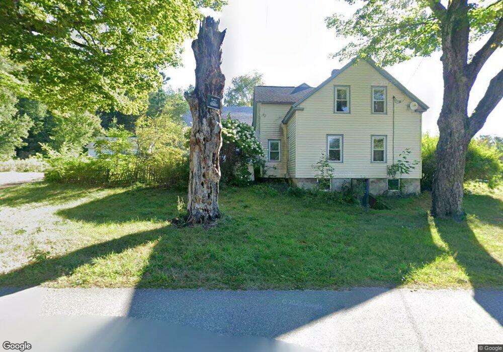
46 Buckland Rd Unit G Ashfield, MA 01330
Ashfield NeighborhoodEstimated Value: $167,000 - $398,000
1
Bed
1
Bath
568
Sq Ft
$442/Sq Ft
Est. Value
About This Home
This home is located at 46 Buckland Rd Unit G, Ashfield, MA 01330 and is currently estimated at $250,947, approximately $441 per square foot. 46 Buckland Rd Unit G is a home located in Franklin County with nearby schools including Mohawk Trail Regional High School.
Create a Home Valuation Report for This Property
The Home Valuation Report is an in-depth analysis detailing your home's value as well as a comparison with similar homes in the area
Home Values in the Area
Average Home Value in this Area
Tax History Compared to Growth
Tax History
| Year | Tax Paid | Tax Assessment Tax Assessment Total Assessment is a certain percentage of the fair market value that is determined by local assessors to be the total taxable value of land and additions on the property. | Land | Improvement |
|---|---|---|---|---|
| 2025 | $1,868 | $138,800 | $61,000 | $77,800 |
| 2024 | $1,895 | $129,700 | $61,000 | $68,700 |
| 2023 | $1,729 | $98,200 | $48,800 | $49,400 |
| 2022 | $1,663 | $95,700 | $46,300 | $49,400 |
| 2021 | $1,584 | $95,700 | $46,300 | $49,400 |
| 2020 | $1,594 | $95,700 | $46,300 | $49,400 |
| 2019 | $1,474 | $85,900 | $43,300 | $42,600 |
| 2018 | $1,459 | $84,900 | $43,300 | $41,600 |
| 2017 | $1,367 | $84,300 | $42,700 | $41,600 |
| 2016 | $1,337 | $81,300 | $42,700 | $38,600 |
| 2015 | $1,298 | $81,300 | $42,700 | $38,600 |
| 2014 | $1,272 | $78,700 | $40,200 | $38,500 |
Source: Public Records
Map
Nearby Homes
- 240 Beldingville Rd
- 220 Hawley Rd
- 0 Ashfield Rd
- 374 Watson Spruce Corner Rd
- 473 N Poland Rd
- 0 Old Stage Rd Unit 73326639
- 0 Sears Rd Unit 73373850
- 0 John Ford Rd Unit 73403157
- 0 John Ford Rd Unit 73403156
- lot 1 Shelburne Falls Rd
- 85 Dacey Rd
- 0 Upper St
- 1531 Williamsburg Rd
- 0 Spruce Corner Rd Unit 73244975
- 333 Ranney Corner Rd
- 7 Hog Hollow Rd
- 156 Ashfield Rd
- 230 S Ashfield Rd
- 41 Buckland Rd
- 0 Pleasant St
- 46 Buckland Rd Unit F
- 46 Buckland Rd Unit E
- 46 Buckland Rd Unit D
- 46 Buckland Rd Unit C
- 46 Buckland Rd Unit B
- 46D Buckland Rd
- 21 Tatro Rd
- 21 Thayer Rd
- 48 Buckland Rd
- 37 Bronson Ave
- 70 Buckland Rd
- 23 Bronson Ave
- 57 Bronson Ave
- 69 Bronson Ave
- 90 Buckland Rd
- 9 Bronson Ave
- 52 Bronson Ave
- 36 Bronson Ave
- 20 Thayer Rd
- 26 Bronson Ave