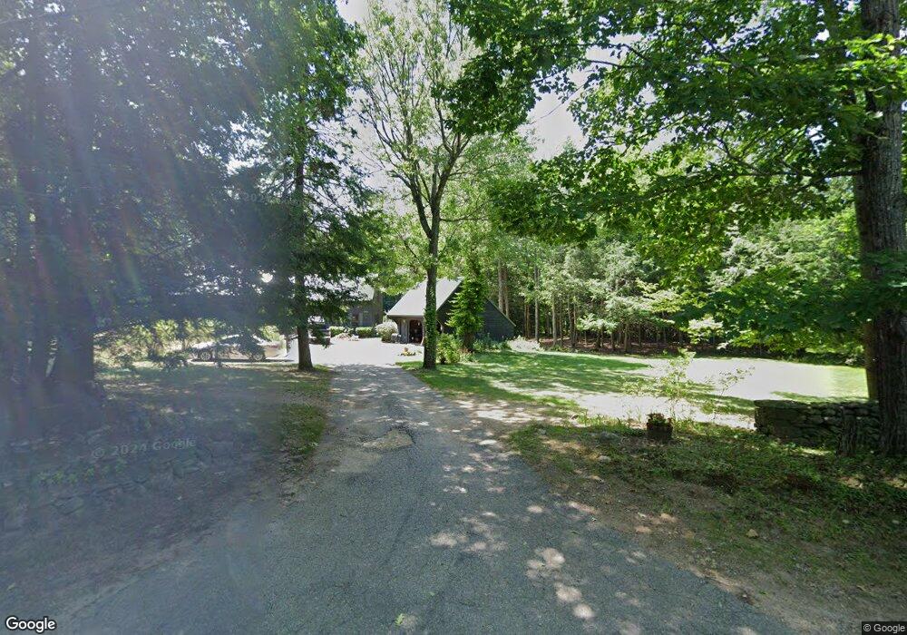
46 Canaan Rd Strafford, NH 03884
Estimated Value: $595,000 - $646,000
3
Beds
3
Baths
2,378
Sq Ft
$262/Sq Ft
Est. Value
About This Home
This home is located at 46 Canaan Rd, Strafford, NH 03884 and is currently estimated at $622,545, approximately $261 per square foot. 46 Canaan Rd is a home located in Strafford County with nearby schools including Strafford School and Coe-Brown Northwood Academy.
Ownership History
Date
Name
Owned For
Owner Type
Purchase Details
Closed on
Dec 16, 2021
Sold by
Mason Raymond A
Bought by
Mason Ft
Current Estimated Value
Purchase Details
Closed on
Sep 3, 1997
Sold by
Osterman Margaret A
Bought by
Mason Raymond A and Mason Elizabeth T
Home Financials for this Owner
Home Financials are based on the most recent Mortgage that was taken out on this home.
Original Mortgage
$104,000
Interest Rate
7.36%
Create a Home Valuation Report for This Property
The Home Valuation Report is an in-depth analysis detailing your home's value as well as a comparison with similar homes in the area
Home Values in the Area
Average Home Value in this Area
Purchase History
| Date | Buyer | Sale Price | Title Company |
|---|---|---|---|
| Mason Ft | -- | None Available | |
| Mason Raymond A | $134,000 | -- |
Source: Public Records
Mortgage History
| Date | Status | Borrower | Loan Amount |
|---|---|---|---|
| Previous Owner | Mason Raymond A | $104,000 |
Source: Public Records
Tax History
| Year | Tax Paid | Tax Assessment Tax Assessment Total Assessment is a certain percentage of the fair market value that is determined by local assessors to be the total taxable value of land and additions on the property. | Land | Improvement |
|---|---|---|---|---|
| 2024 | $7,477 | $378,400 | $70,100 | $308,300 |
| 2023 | $7,053 | $378,400 | $70,100 | $308,300 |
| 2022 | $6,482 | $378,400 | $70,100 | $308,300 |
| 2021 | $6,985 | $378,400 | $70,100 | $308,300 |
| 2020 | $7,639 | $297,800 | $64,200 | $233,600 |
| 2019 | $6,989 | $297,800 | $64,200 | $233,600 |
| 2018 | $7,037 | $297,800 | $64,200 | $233,600 |
| 2016 | $6,328 | $297,800 | $64,200 | $233,600 |
| 2015 | $6,140 | $281,500 | $78,100 | $203,400 |
| 2014 | $6,520 | $281,500 | $78,100 | $203,400 |
| 2013 | $6,384 | $281,500 | $78,100 | $203,400 |
| 2012 | $6,300 | $281,500 | $78,100 | $203,400 |
Source: Public Records
Map
Nearby Homes
- 2 Yearling Dr Unit 1
- 295 1st New Hampshire Turnpike
- Map 3 Lot 18-2b and 18-2c Water St
- 120 Estate Dr
- 36 Leavitt Ln
- M37 L40 Beaver Rd
- 641 & 647 First nh Turnpike
- 133 & 137 Browns Pasture Rd
- 166 Old Turnpike Rd
- 0 1st New Hampshire Turnpike Unit 5026030
- 0 1st New Hampshire Turnpike Unit 5013320
- 1416 Parker Mountain Rd
- 468 Mountain Ave
- 0 Old Turnpike Rd Unit 1
- 61 Freeman Hall Rd
- Lot 3 the Woodlands at Merry Hill
- Lot 1 the Woodlands at Merry Hill
- 0 Sloper Rd Unit 6
- 114 Bow Lake Estates Rd
- 25 Revolutionary Ln
- 56 Canaan Rd
- 6 Back Canaan Rd
- 6 Back Canaan Rd
- 64 Canaan Rd
- 24 Canaan Rd
- 75 Canaan Rd
- 80 Canaan Rd
- 389 Drake Hill Rd
- 24 Back Canaan Rd
- 82 Canaan Rd
- 13 Canaan Rd
- 85 Canaan Rd
- 92 Canaan Rd
- 36 Back Canaan Rd
- 45 Back Canaan Rd
- 415 Drake Hill Rd
- 98 Canaan Rd
- 89 Canaan Rd
- 366 Drake Hill Rd
- 48 Back Canaan Rd
Your Personal Tour Guide
Ask me questions while you tour the home.