46 Celts Way Wilton, NH 03086
Estimated Value: $684,000 - $903,414
4
Beds
8
Baths
3,701
Sq Ft
$213/Sq Ft
Est. Value
About This Home
This home is located at 46 Celts Way, Wilton, NH 03086 and is currently estimated at $788,471, approximately $213 per square foot. 46 Celts Way is a home located in Hillsborough County with nearby schools including Florence Rideout Elementary School, Wilton-Lyndeborough Cooperative Middle School, and Wilton-Lyndeborough Cooperative High School.
Ownership History
Date
Name
Owned For
Owner Type
Purchase Details
Closed on
Jul 25, 2025
Sold by
Kofalt Ft and Kofalt
Bought by
Kofalt James A
Current Estimated Value
Purchase Details
Closed on
May 15, 2006
Sold by
Ronald R Tremblay Llc
Bought by
Kofalt James and Kofalt Joan
Create a Home Valuation Report for This Property
The Home Valuation Report is an in-depth analysis detailing your home's value as well as a comparison with similar homes in the area
Home Values in the Area
Average Home Value in this Area
Purchase History
| Date | Buyer | Sale Price | Title Company |
|---|---|---|---|
| Kofalt James A | -- | -- | |
| Kofalt James A | -- | -- | |
| Kofalt James | $120,000 | -- | |
| Kofalt James | $120,000 | -- |
Source: Public Records
Mortgage History
| Date | Status | Borrower | Loan Amount |
|---|---|---|---|
| Previous Owner | Kofalt James | $395,000 | |
| Previous Owner | Kofalt James | $88,000 | |
| Previous Owner | Kofalt James | $97,771 |
Source: Public Records
Tax History Compared to Growth
Tax History
| Year | Tax Paid | Tax Assessment Tax Assessment Total Assessment is a certain percentage of the fair market value that is determined by local assessors to be the total taxable value of land and additions on the property. | Land | Improvement |
|---|---|---|---|---|
| 2024 | $18,588 | $747,400 | $132,800 | $614,600 |
| 2023 | $16,592 | $747,400 | $132,800 | $614,600 |
| 2022 | $15,441 | $747,400 | $132,800 | $614,600 |
| 2021 | $14,365 | $747,400 | $132,800 | $614,600 |
| 2020 | $14,789 | $503,200 | $104,400 | $398,800 |
| 2019 | $14,363 | $494,600 | $104,400 | $390,200 |
| 2018 | $14,225 | $494,600 | $104,400 | $390,200 |
| 2017 | $13,438 | $494,600 | $104,400 | $390,200 |
| 2016 | $12,996 | $493,400 | $104,400 | $389,000 |
| 2015 | $12,804 | $486,100 | $108,400 | $377,700 |
| 2014 | $12,516 | $485,100 | $108,400 | $376,700 |
| 2013 | $12,523 | $481,300 | $108,400 | $372,900 |
Source: Public Records
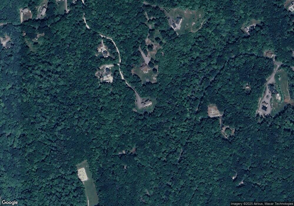
Map
Nearby Homes
- 415 Savage Rd
- Lot F-88-9 Aria Hill Dr
- F-88-10 Aria Hill Dr
- F-88-11 Aria Hill Dr
- F-88-12 Aria Hill Dr
- F-88-7 Aria Hill Dr
- 18 Richfield Way
- 361 Captain Clark Hwy
- 21 Ledgewood Rd
- 294 Mason Rd
- 30 Robbins Rd
- 134 Falcon Ridge Rd Unit 23
- 131 Badger Hill Dr
- 8 Maple St
- 44 Burns Hill Rd
- 25 Burns Hill Rd
- F/88-5 McGettigan Rd
- F/88-4 McGettigan Rd
- Lots 4 & 7 Gibbons & Robbins Rd
- 43 Boxwood Cir
- 54 Isaac Frye Hwy
- 39 Celts Way
- 783 Mason Rd
- 19 Celts Way
- 738 Mason Rd
- 48 Isaac Frye Hwy
- 696 Mason Rd
- 51 Henrys Way
- 694 Mason Rd
- 705 Mason Rd
- 110 Isaac Frye Hwy
- 699 Mason Rd
- 95 Isaac Frye Hwy
- 95 Isaac Frye Hwy
- 95 Isaac Frye Hwy
- 95 Isaac Frye Hwy
- 115 Isaac Frye Hwy
- 13 Blueberry Ln
- 16 Blueberry Ln
- 89 Isaac Frye Hwy