46 Channel Cir Shapleigh, ME 04076
Estimated Value: $576,000
2
Beds
1
Bath
640
Sq Ft
$900/Sq Ft
Est. Value
About This Home
This home is located at 46 Channel Cir, Shapleigh, ME 04076 and is currently estimated at $576,000, approximately $900 per square foot. 46 Channel Cir is a home with nearby schools including Massabesic High School.
Ownership History
Date
Name
Owned For
Owner Type
Purchase Details
Closed on
Aug 18, 2017
Sold by
Hamel Robert D and Hamel Elaine
Bought by
Guillemette Steven R and Guillemette C P
Current Estimated Value
Home Financials for this Owner
Home Financials are based on the most recent Mortgage that was taken out on this home.
Original Mortgage
$160,000
Outstanding Balance
$132,867
Interest Rate
3.96%
Mortgage Type
New Conventional
Estimated Equity
$443,133
Create a Home Valuation Report for This Property
The Home Valuation Report is an in-depth analysis detailing your home's value as well as a comparison with similar homes in the area
Home Values in the Area
Average Home Value in this Area
Purchase History
| Date | Buyer | Sale Price | Title Company |
|---|---|---|---|
| Guillemette Steven R | -- | -- | |
| Guillemette Steven R | -- | -- | |
| Guillemette Steven R | -- | -- |
Source: Public Records
Mortgage History
| Date | Status | Borrower | Loan Amount |
|---|---|---|---|
| Open | Guillemette Steven R | $160,000 | |
| Closed | Guillemette Steven R | $160,000 |
Source: Public Records
Tax History Compared to Growth
Tax History
| Year | Tax Paid | Tax Assessment Tax Assessment Total Assessment is a certain percentage of the fair market value that is determined by local assessors to be the total taxable value of land and additions on the property. | Land | Improvement |
|---|---|---|---|---|
| 2024 | $1,923 | $159,573 | $64,800 | $94,773 |
| 2023 | $1,691 | $159,573 | $64,800 | $94,773 |
| 2022 | $1,644 | $159,573 | $64,800 | $94,773 |
| 2021 | $1,636 | $159,573 | $64,800 | $94,773 |
| 2020 | $1,636 | $159,573 | $64,800 | $94,773 |
| 2019 | $1,620 | $159,573 | $64,800 | $94,773 |
| 2018 | $904 | $81,821 | $44,470 | $37,351 |
| 2017 | $874 | $81,821 | $44,470 | $37,351 |
| 2016 | $843 | $81,821 | $44,470 | $37,351 |
| 2015 | $818 | $81,821 | $44,470 | $37,351 |
| 2014 | $790 | $81,821 | $44,470 | $37,351 |
Source: Public Records
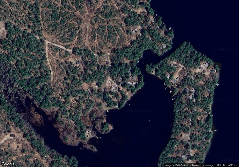
Map
Nearby Homes
- 446 13th St
- 399 13th St
- TBD 23rd St
- 264 State Loop 23
- 100 Warden's Way
- 164 16th
- 164 16th Street Loop
- 94 Warden's Way
- 3 & 7 Back Rd
- 19 Rodrigue Ln
- 117 Middle Rd
- 55 Loop Rd
- 87 E Shore Dr
- 95 Loop Rd
- 196 Loop Rd
- 209 Loop Rd
- 002-031-B Shapleigh Corner Rd
- 3 Forest View Ln Unit 3
- 638 E Shore Dr
- 202 Route 109
- 60 Channel Cir
- 53 Channel Cir
- 9 Hubbards Cove Rd
- 0 14th St 9 Hubbard Cove
- 51 Channel Cir
- 47 Channel (Off 14th Street)
- 47 Channel Cir
- 41 Channel Cir
- 65 Channel Cir
- 33 Hubbards Cove Rd
- 19 Hubbards Cove Rd
- 1 14th St
- 14 Hubbards Cove Rd
- 29 Hubbards Cove Rd
- 28 Hubbards Cove Rd
- 23 Avenue H
- 0 14th St
- Lot 23 14th St
- 14th Street
- 19 14th St