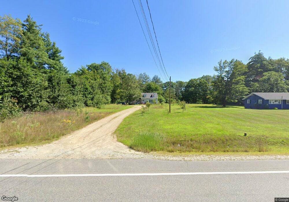
46 Daniel Webster Highway Route 3 Boscawen, NH 03303
Estimated Value: $424,454 - $528,000
4
Beds
2
Baths
3,024
Sq Ft
$157/Sq Ft
Est. Value
About This Home
This home is located at 46 Daniel Webster Highway Route 3, Boscawen, NH 03303 and is currently estimated at $474,114, approximately $156 per square foot. 46 Daniel Webster Highway Route 3 is a home located in Merrimack County with nearby schools including Boscawen Elementary School, Merrimack Valley Middle School, and Merrimack Valley High School.
Ownership History
Date
Name
Owned For
Owner Type
Purchase Details
Closed on
Aug 28, 2013
Sold by
Davis Richard
Bought by
Maloney Matthew C and Gilley Katie L
Current Estimated Value
Create a Home Valuation Report for This Property
The Home Valuation Report is an in-depth analysis detailing your home's value as well as a comparison with similar homes in the area
Home Values in the Area
Average Home Value in this Area
Purchase History
| Date | Buyer | Sale Price | Title Company |
|---|---|---|---|
| Maloney Matthew C | $188,000 | -- | |
| Maloney Matthew C | $188,000 | -- |
Source: Public Records
Mortgage History
| Date | Status | Borrower | Loan Amount |
|---|---|---|---|
| Previous Owner | Maloney Matthew C | $130,000 | |
| Previous Owner | Maloney Matthew C | $25,000 | |
| Closed | Maloney Matthew C | $0 |
Source: Public Records
Tax History Compared to Growth
Tax History
| Year | Tax Paid | Tax Assessment Tax Assessment Total Assessment is a certain percentage of the fair market value that is determined by local assessors to be the total taxable value of land and additions on the property. | Land | Improvement |
|---|---|---|---|---|
| 2024 | $6,481 | $336,500 | $148,900 | $187,600 |
| 2023 | $6,538 | $336,500 | $148,900 | $187,600 |
| 2022 | $6,355 | $205,200 | $88,700 | $116,500 |
| 2021 | $5,824 | $205,200 | $88,700 | $116,500 |
| 2020 | $5,497 | $205,200 | $88,700 | $116,500 |
| 2019 | $5,770 | $205,200 | $88,700 | $116,500 |
| 2018 | $5,458 | $205,200 | $88,700 | $116,500 |
| 2017 | $5,221 | $174,200 | $61,700 | $112,500 |
| 2016 | $4,984 | $174,200 | $61,700 | $112,500 |
| 2015 | $5,130 | $174,500 | $61,700 | $112,800 |
| 2014 | $4,982 | $174,500 | $61,700 | $112,800 |
| 2013 | $4,722 | $174,500 | $61,700 | $112,800 |
Source: Public Records
Map
Nearby Homes
- 9 High St
- 254 King St
- 250 King St
- 19 Bailey Dr
- 222 Daniel Webster Hwy
- 187 King St
- 293 Queen St
- 187 Intervale Rd
- 29 Duston Dr
- 3A Red Oak Way Unit 3A
- 3B Red Oak Way
- 5A Red Oak Way Unit 5A
- 4A Red Oak Way
- Map 6, Lot 38 Chadwick Hill Rd
- 527 Northwest Rd
- 6 Eagle Perch Dr Unit 14
- 9 Eagle Perch Dr Unit 5
- 2 Eagle Perch Dr Unit 16
- 6A Villa Brasi Ln
- 4A Villa Brasi Ln
- 46 Daniel Webster Hwy
- 4 Circle Dr
- 44 Daniel Webster Hwy
- 2 Circle Dr
- 49 Daniel Webster Hwy
- 3 Circle Dr
- 1 Circle Dr
- 43 Daniel Webster Hwy
- 55 Daniel Webster Hwy
- 40 Daniel Webster Hwy
- 41 Daniel Webster Hwy
- 62 Daniel Webster Hwy
- 57 Daniel Webster Hwy
- 64 Daniel Webster Hwy
- 61 Daniel Webster Hwy
- 66 Daniel Webster Hwy
- 63 Daniel Webster Hwy
- 68 Daniel Webster Hwy
- 10 Valley of Industry
- 65 Daniel Webster Hwy