46 Davis Rd Hillsborough, NH 03244
Hillsboro NeighborhoodEstimated Value: $376,000 - $444,000
2
Beds
2
Baths
1,115
Sq Ft
$365/Sq Ft
Est. Value
About This Home
This home is located at 46 Davis Rd, Hillsborough, NH 03244 and is currently estimated at $406,602, approximately $364 per square foot. 46 Davis Rd is a home located in Hillsborough County with nearby schools including Hillsboro-Deering Elementary School, Hillsboro-Deering High School, and Hillsboro Christian School.
Ownership History
Date
Name
Owned For
Owner Type
Purchase Details
Closed on
Jun 3, 2002
Sold by
Macinnis Grae H and Macinnis Stacie L
Bought by
Herrick Bruce M
Current Estimated Value
Home Financials for this Owner
Home Financials are based on the most recent Mortgage that was taken out on this home.
Original Mortgage
$155,600
Outstanding Balance
$66,674
Interest Rate
7%
Mortgage Type
Purchase Money Mortgage
Estimated Equity
$339,928
Create a Home Valuation Report for This Property
The Home Valuation Report is an in-depth analysis detailing your home's value as well as a comparison with similar homes in the area
Home Values in the Area
Average Home Value in this Area
Purchase History
| Date | Buyer | Sale Price | Title Company |
|---|---|---|---|
| Herrick Bruce M | $194,500 | -- |
Source: Public Records
Mortgage History
| Date | Status | Borrower | Loan Amount |
|---|---|---|---|
| Open | Herrick Bruce M | $155,600 |
Source: Public Records
Tax History Compared to Growth
Tax History
| Year | Tax Paid | Tax Assessment Tax Assessment Total Assessment is a certain percentage of the fair market value that is determined by local assessors to be the total taxable value of land and additions on the property. | Land | Improvement |
|---|---|---|---|---|
| 2024 | $7,481 | $223,700 | $130,800 | $92,900 |
| 2023 | $6,984 | $223,700 | $130,800 | $92,900 |
| 2022 | $5,971 | $223,700 | $130,800 | $92,900 |
| 2021 | $6,469 | $223,700 | $130,800 | $92,900 |
| 2020 | $7,260 | $252,700 | $159,800 | $92,900 |
| 2018 | $4,835 | $163,900 | $78,000 | $85,900 |
| 2017 | $4,994 | $163,900 | $78,000 | $85,900 |
| 2016 | $5,718 | $193,700 | $108,100 | $85,600 |
| 2015 | $5,627 | $193,700 | $108,100 | $85,600 |
| 2014 | $5,338 | $193,700 | $108,100 | $85,600 |
| 2013 | $5,435 | $193,700 | $108,100 | $85,600 |
Source: Public Records
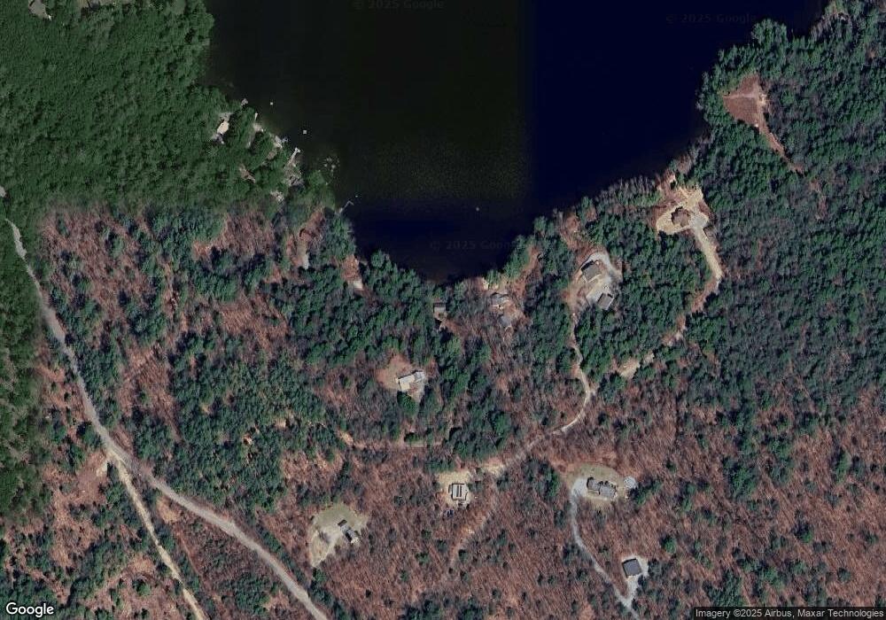
Map
Nearby Homes
- M7/L28 Stowe Mountain Rd
- 00 Windsor Rd Unit 21
- 447 Center Rd
- 0 Center Rd
- 134 Hall Rd
- 298 2nd New Hampshire Turnpike Unit 10-038-000
- 298 2nd New Hampshire Turnpike
- Lot 14 Old Mill Farm Rd
- 32 Deerpoint Dr
- 44 Huntington Dr
- 17 Gould Pond Rd
- 2381 E Washington Rd
- 10 Melody Ln
- 17 Autumn Rd
- 37 Autumn Rd
- 237 2nd New Hampshire Turnpike
- 0 Huntington Dr Unit 373 4855140
- 0 Huntington Dr Unit 307 4855146
- 0 Spring St Unit 178 4855470
- 0 Spring St Unit 178 4855319
- 54 Davis Rd
- 32 Davis Rd
- 39 Dunklee Rd
- 413 E Washington Rd
- 411 E Washington Rd
- 22 Piper Rd
- 431 E Washington Rd
- 5 Piper Rd
- 20 Piper Rd
- 18 Piper Rd
- 403 E Washington Rd
- 16 Piper Rd
- 379 E Washington Rd
- 397 E Washington Rd
- 398 E Washington Rd
- 0 Piper Rd
- 384 E Washington Rd
- 383 E Washington Rd
- 511 E Washington Rd
- 446 E Washington Rd