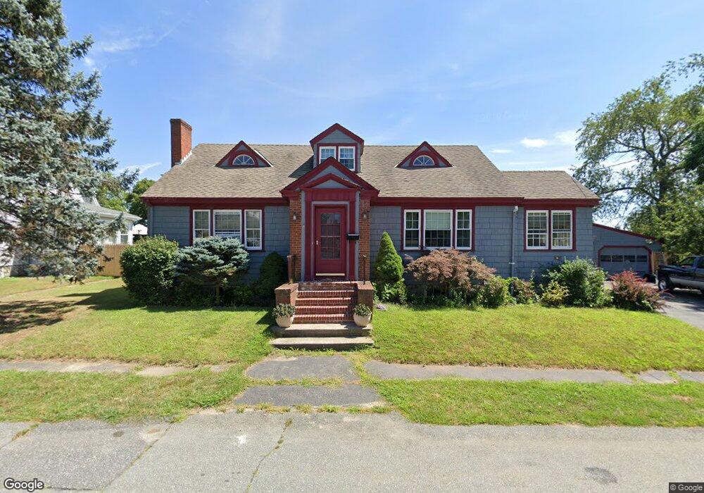
46 Desmond Ave Somerset, MA 02726
Brayton Point NeighborhoodEstimated Value: $510,000 - $608,000
4
Beds
2
Baths
1,757
Sq Ft
$319/Sq Ft
Est. Value
About This Home
This home is located at 46 Desmond Ave, Somerset, MA 02726 and is currently estimated at $560,672, approximately $319 per square foot. 46 Desmond Ave is a home located in Bristol County with nearby schools including Chace Street School, Somerset Middle School, and St. Michael's School.
Ownership History
Date
Name
Owned For
Owner Type
Purchase Details
Closed on
Dec 4, 2019
Sold by
Rodrigues Serafim
Bought by
Rodrigues Serafim and Rodrigues Jeffrey P
Current Estimated Value
Purchase Details
Closed on
Jan 22, 1971
Bought by
Rodrigues Serafin and Rodrigues Pauline E
Create a Home Valuation Report for This Property
The Home Valuation Report is an in-depth analysis detailing your home's value as well as a comparison with similar homes in the area
Home Values in the Area
Average Home Value in this Area
Purchase History
| Date | Buyer | Sale Price | Title Company |
|---|---|---|---|
| Rodrigues Serafim | -- | None Available | |
| Rodrigues Serafim | -- | None Available | |
| Rodrigues Serafin | $23,200 | -- |
Source: Public Records
Mortgage History
| Date | Status | Borrower | Loan Amount |
|---|---|---|---|
| Previous Owner | Rodrigues Serafin | $100,000 | |
| Previous Owner | Rodrigues Serafin | $100,000 | |
| Previous Owner | Rodrigues Serafin | $20,000 | |
| Previous Owner | Rodrigues Serafin | $60,000 |
Source: Public Records
Tax History Compared to Growth
Tax History
| Year | Tax Paid | Tax Assessment Tax Assessment Total Assessment is a certain percentage of the fair market value that is determined by local assessors to be the total taxable value of land and additions on the property. | Land | Improvement |
|---|---|---|---|---|
| 2025 | $6,514 | $489,800 | $183,300 | $306,500 |
| 2024 | $6,088 | $476,000 | $183,300 | $292,700 |
| 2023 | $5,318 | $419,400 | $159,300 | $260,100 |
| 2022 | $4,923 | $370,400 | $137,900 | $232,500 |
| 2021 | $4,966 | $338,300 | $124,900 | $213,400 |
| 2020 | $4,922 | $323,400 | $125,800 | $197,600 |
| 2019 | $5,616 | $307,700 | $125,800 | $181,900 |
| 2018 | $4,810 | $283,600 | $122,100 | $161,500 |
| 2017 | $4,712 | $270,800 | $116,500 | $154,300 |
| 2016 | $4,742 | $270,800 | $116,500 | $154,300 |
| 2015 | $4,544 | $261,900 | $111,200 | $150,700 |
| 2014 | $6,086 | $252,000 | $108,000 | $144,000 |
Source: Public Records
Map
Nearby Homes
- 1496 Riverside Ave
- 82 Perry Ave
- 34 Doherty Ave
- 80 Meadow Ln
- 66 Meadow Ln
- 2396 Riverside Ave
- 409 Crescent St
- 1928 N Main St Unit 4
- 82 Wellington St
- 96 Wellington St
- 55 Dias Terrace
- 29 Valentine St
- 1810 Highland Ave Unit 22
- 8 Tower Hill Rd
- 195 Crescent St Unit 2
- 54 Grant Ave
- 172 Gibbs St
- 122 Stowe St Unit 122
- 120 Stowe St Unit 120
- 110 Stowe St Unit 110
- 64 Desmond Ave
- 57 Desmond Ave
- 1629 Riverside Ave
- 11 Sagamore St
- 1663 Riverside Ave
- 80 Desmond Ave
- 69 Desmond Ave
- 17 Desmond Ave
- 1565 Riverside Ave
- 1677 Riverside Ave
- 83 Desmond Ave
- 98 Desmond Ave
- 95 Desmond Ave
- 95 Desmond Ave Unit 2
- 1693 Riverside Ave
- 1553 Riverside Ave
- 110 Desmond Ave
- 53 Sagamore St
- 1560 Riverside Ave
- 107 Desmond Ave