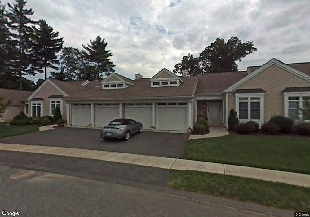
46 High Pine Cir Wilbraham, MA 01095
Estimated Value: $527,415 - $547,000
3
Beds
3
Baths
1,943
Sq Ft
$276/Sq Ft
Est. Value
About This Home
This home is located at 46 High Pine Cir, Wilbraham, MA 01095 and is currently estimated at $535,354, approximately $275 per square foot. 46 High Pine Cir is a home located in Hampden County with nearby schools including Minnechaug Regional High School and Wilbraham & Monson Academy.
Ownership History
Date
Name
Owned For
Owner Type
Purchase Details
Closed on
Jul 29, 2016
Sold by
James E Berthiaume
Bought by
Mastay David and Mastay Diane
Current Estimated Value
Home Financials for this Owner
Home Financials are based on the most recent Mortgage that was taken out on this home.
Original Mortgage
$274,500
Outstanding Balance
$219,019
Interest Rate
3.48%
Estimated Equity
$316,335
Purchase Details
Closed on
Nov 15, 2000
Sold by
Woods At Wilbraham Llc
Bought by
Berthiaume James E
Create a Home Valuation Report for This Property
The Home Valuation Report is an in-depth analysis detailing your home's value as well as a comparison with similar homes in the area
Home Values in the Area
Average Home Value in this Area
Purchase History
| Date | Buyer | Sale Price | Title Company |
|---|---|---|---|
| Mastay David | -- | -- | |
| Berthiaume James E | $237,900 | -- |
Source: Public Records
Mortgage History
| Date | Status | Borrower | Loan Amount |
|---|---|---|---|
| Open | Berthiaume James E | $274,500 | |
| Closed | Berthiaume James E | -- |
Source: Public Records
Tax History
| Year | Tax Paid | Tax Assessment Tax Assessment Total Assessment is a certain percentage of the fair market value that is determined by local assessors to be the total taxable value of land and additions on the property. | Land | Improvement |
|---|---|---|---|---|
| 2025 | $7,969 | $445,700 | $0 | $445,700 |
| 2024 | $7,346 | $397,100 | $0 | $397,100 |
| 2023 | $7,419 | $386,100 | $0 | $386,100 |
| 2022 | $7,419 | $362,100 | $0 | $362,100 |
| 2021 | $6,782 | $295,400 | $0 | $295,400 |
| 2020 | $6,611 | $295,400 | $0 | $295,400 |
| 2019 | $6,440 | $295,400 | $0 | $295,400 |
| 2018 | $6,606 | $291,800 | $0 | $291,800 |
| 2017 | $6,420 | $291,800 | $0 | $291,800 |
| 2016 | $6,219 | $287,900 | $0 | $287,900 |
| 2015 | $6,011 | $287,900 | $0 | $287,900 |
Source: Public Records
Map
Nearby Homes
- 1 Aspen Dr
- 8 High Pine Cir
- 104 High Pine Cir
- 172 Main St
- 35 Lake Dr
- 4 Hillcrest Dr
- 46 Washington Rd
- 16 Maple St
- 36 Maple St
- 20 Old Orchard Rd
- 474-480 Mountain Rd
- 474 Mountain Rd
- 8 Patriot Ridge Ln
- 3 Mohawk St
- 6 Teak Terrace Unit 24
- 103 Sandalwood Dr Unit site 00
- 125 Pondview Dr
- 57 Sandalwood Dr Unit site 61
- 84 Sandalwood Dr Unit site 00
- 6 Hilltop Park
- 44 High Pine Cir
- 42 High Pine Cir
- 40 High Pine Cir
- 46 High Pine Cir Unit 46
- 17 Spruce Dr
- 15 Spruce Dr
- 11 Spruce Dr
- 11 Spruce Dr
- 11 Spruce Dr Unit 11
- 9 Spruce Dr
- 20 High Pine Cir
- 18 High Pine Cir
- 16 High Pine Cir
- 16 High Pine Cir Unit 7
- 18 Spruce Dr
- 20 Spruce Dr
- 16 Spruce Dr
- 16 Spruce Dr Unit 16
- 20 Spruce Dr Unit 20
- 41 High Pine Cir
Your Personal Tour Guide
Ask me questions while you tour the home.