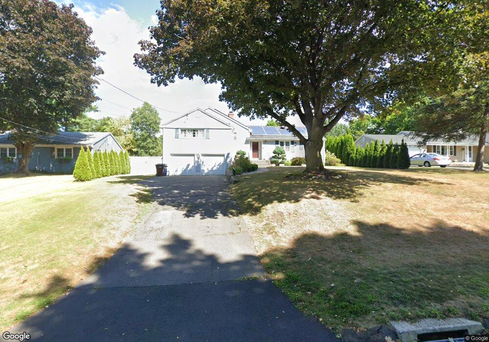
46 Howland Rd West Hartford, CT 06107
Estimated Value: $420,000 - $535,155
3
Beds
2
Baths
1,667
Sq Ft
$286/Sq Ft
Est. Value
About This Home
This home is located at 46 Howland Rd, West Hartford, CT 06107 and is currently estimated at $476,289, approximately $285 per square foot. 46 Howland Rd is a home located in Hartford County with nearby schools including Wolcott School, Sedgwick Middle School, and Conard High School.
Ownership History
Date
Name
Owned For
Owner Type
Purchase Details
Closed on
May 11, 2016
Sold by
Tran Jane
Bought by
Tran Jane and Sills Gregory
Current Estimated Value
Purchase Details
Closed on
Dec 30, 2008
Sold by
Est Miller Kenneth J and Shimkus Charles J
Bought by
Tran Jane
Home Financials for this Owner
Home Financials are based on the most recent Mortgage that was taken out on this home.
Original Mortgage
$204,797
Interest Rate
6.17%
Create a Home Valuation Report for This Property
The Home Valuation Report is an in-depth analysis detailing your home's value as well as a comparison with similar homes in the area
Home Values in the Area
Average Home Value in this Area
Purchase History
| Date | Buyer | Sale Price | Title Company |
|---|---|---|---|
| Tran Jane | -- | -- | |
| Tran Jane | $207,500 | -- |
Source: Public Records
Mortgage History
| Date | Status | Borrower | Loan Amount |
|---|---|---|---|
| Previous Owner | Tran Jane | $212,000 | |
| Previous Owner | Tran Jane | $208,000 | |
| Previous Owner | Tran Jane | $204,797 | |
| Previous Owner | Tran Jane | $75,675 |
Source: Public Records
Tax History Compared to Growth
Tax History
| Year | Tax Paid | Tax Assessment Tax Assessment Total Assessment is a certain percentage of the fair market value that is determined by local assessors to be the total taxable value of land and additions on the property. | Land | Improvement |
|---|---|---|---|---|
| 2025 | $10,213 | $228,060 | $85,610 | $142,450 |
| 2024 | $9,658 | $228,060 | $85,610 | $142,450 |
| 2023 | $9,332 | $228,060 | $85,610 | $142,450 |
| 2022 | $9,277 | $228,060 | $85,610 | $142,450 |
| 2021 | $9,416 | $221,970 | $85,610 | $136,360 |
| 2020 | $8,989 | $215,040 | $79,800 | $135,240 |
| 2019 | $8,989 | $215,040 | $79,800 | $135,240 |
| 2018 | $8,817 | $215,040 | $79,800 | $135,240 |
| 2017 | $8,825 | $215,040 | $79,800 | $135,240 |
| 2016 | $7,595 | $192,220 | $61,110 | $131,110 |
| 2015 | $7,297 | $190,470 | $61,110 | $129,360 |
| 2014 | $6,969 | $186,480 | $61,110 | $125,370 |
Source: Public Records
Map
Nearby Homes
- 73 Emily Way
- 31 Everett Ave
- 7 Buena Vista Rd
- 7 Brookmoor Rd
- 14 Hedwig Ct
- 25 Birch Hill Dr
- 90 Farmington Ave
- 29 Fairwood Farms Dr
- 294 Tunxis Rd
- 42 Fairwood Farms Dr
- 61 Waterside Ln
- 26 Garland Rd
- 236 Ridgewood Rd
- 88 Spring Ln
- 1925 Boulevard
- 269 Mountain Rd
- 126 Westminster Dr
- 176 Stoner Dr
- 3 Staples Place
- 26 Pheasant Hill Dr
- 50 Howland Rd
- 42 Howland Rd
- 40 Howland Rd
- 169 Selden Hill Dr
- 141 Buena Vista Rd
- 137 Buena Vista Rd
- 165 Selden Hill Dr
- 173 Selden Hill Dr
- 36 Howland Rd
- 153 Buena Vista Rd
- 45 Howland Rd
- 135 Buena Vista Rd
- 149 Buena Vista Rd
- 139 Buena Vista Rd
- 41 Howland Rd
- 131 Buena Vista Rd
- 32 Howland Rd
- 151 Buena Vista Rd
- 157 Selden Hill Dr
- 179 Selden Hill Dr