46 Kenmore Rd Waltham, MA 02453
Bleachery NeighborhoodEstimated Value: $949,000 - $1,301,000
5
Beds
3
Baths
2,432
Sq Ft
$446/Sq Ft
Est. Value
About This Home
This home is located at 46 Kenmore Rd, Waltham, MA 02453 and is currently estimated at $1,085,617, approximately $446 per square foot. 46 Kenmore Rd is a home located in Middlesex County with nearby schools including James Fitzgerald Elementary School, John W. Mcdevitt Middle School, and Waltham Sr High School.
Ownership History
Date
Name
Owned For
Owner Type
Purchase Details
Closed on
Feb 10, 1998
Sold by
Apone Joanne L
Bought by
Barry Kenneth P
Current Estimated Value
Create a Home Valuation Report for This Property
The Home Valuation Report is an in-depth analysis detailing your home's value as well as a comparison with similar homes in the area
Home Values in the Area
Average Home Value in this Area
Purchase History
| Date | Buyer | Sale Price | Title Company |
|---|---|---|---|
| Barry Kenneth P | $190,000 | -- |
Source: Public Records
Mortgage History
| Date | Status | Borrower | Loan Amount |
|---|---|---|---|
| Open | Barry Kenneth P | $338,000 | |
| Closed | Barry Kenneth P | $30,000 |
Source: Public Records
Tax History Compared to Growth
Tax History
| Year | Tax Paid | Tax Assessment Tax Assessment Total Assessment is a certain percentage of the fair market value that is determined by local assessors to be the total taxable value of land and additions on the property. | Land | Improvement |
|---|---|---|---|---|
| 2025 | $7,943 | $808,900 | $399,600 | $409,300 |
| 2024 | $7,748 | $803,700 | $399,600 | $404,100 |
| 2023 | $7,147 | $692,500 | $362,600 | $329,900 |
| 2022 | $7,544 | $677,200 | $362,600 | $314,600 |
| 2021 | $6,892 | $608,800 | $310,800 | $298,000 |
| 2020 | $6,638 | $555,500 | $281,200 | $274,300 |
| 2019 | $6,330 | $500,000 | $271,700 | $228,300 |
| 2018 | $5,763 | $457,000 | $251,600 | $205,400 |
| 2017 | $5,461 | $434,800 | $229,400 | $205,400 |
| 2016 | $5,231 | $427,400 | $222,000 | $205,400 |
| 2015 | $5,362 | $408,400 | $218,300 | $190,100 |
Source: Public Records
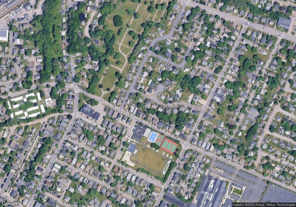
Map
Nearby Homes
- 220 Grove St Unit 1
- 164 Grove St
- 135 Grove St Unit 135
- 10 Naviens Ln Unit 2
- 59 Farnum Rd
- 176 River St
- 180 River St Unit 9
- 240 River St
- 266-274 River St
- 28-32 Calvary St
- 21 Warren St Unit 2-4
- 78 Barbara Rd Unit 1
- 3 Repton Cir Unit 3204
- 9 John St
- 1 Farwell Cir
- 39 Clinton St Unit 2
- 39 Clinton St Unit 1
- 34 Cedar Hill Ln
- 266 Linden St
- 308 Newton St Unit 1
- 40 Kenmore Rd
- 54 Kenmore Rd
- 211 Grove St
- 215 Grove St Unit 217
- 4 Kenmore Terrace
- 36 Kenmore Rd
- 221 Grove St Unit 225
- 209 Grove St Unit 2
- 209 Grove St Unit 1
- 86 Potter Rd
- 37 Kenmore Rd
- 203 Grove St
- 92 Potter Rd
- 80 Potter Rd
- 227 Grove St
- 10 Kenmore Terrace
- 30 Kenmore Rd
- 195 Grove St Unit 199
- 195-199 Grove St
- 25 Kenmore Rd