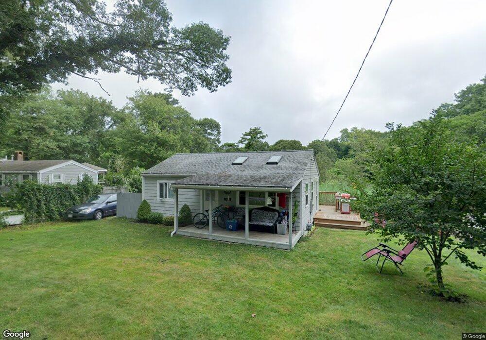
46 King Phillip Rd Pocasset, MA 02559
Pocasset NeighborhoodEstimated Value: $337,000 - $533,000
2
Beds
1
Bath
650
Sq Ft
$717/Sq Ft
Est. Value
About This Home
This home is located at 46 King Phillip Rd, Pocasset, MA 02559 and is currently estimated at $466,359, approximately $717 per square foot. 46 King Phillip Rd is a home located in Barnstable County with nearby schools including Bourne High School, Cadence Academy Preschool - Bourne, and St Margaret Regional School.
Ownership History
Date
Name
Owned For
Owner Type
Purchase Details
Closed on
Apr 8, 2009
Sold by
Mulford Stephen F and Mulford Barbara L
Bought by
Mulford Stephen F
Current Estimated Value
Purchase Details
Closed on
Apr 11, 1994
Sold by
Tortorella Philip J and Tortorella Deborah J
Bought by
Mulford Stephen F and Mulford Barbara L
Home Financials for this Owner
Home Financials are based on the most recent Mortgage that was taken out on this home.
Original Mortgage
$41,600
Interest Rate
7.27%
Mortgage Type
Purchase Money Mortgage
Create a Home Valuation Report for This Property
The Home Valuation Report is an in-depth analysis detailing your home's value as well as a comparison with similar homes in the area
Home Values in the Area
Average Home Value in this Area
Purchase History
| Date | Buyer | Sale Price | Title Company |
|---|---|---|---|
| Mulford Stephen F | -- | -- | |
| Mulford Stephen F | -- | -- | |
| Mulford Stephen F | $56,000 | -- | |
| Mulford Stephen F | $56,000 | -- |
Source: Public Records
Mortgage History
| Date | Status | Borrower | Loan Amount |
|---|---|---|---|
| Previous Owner | Mulford Stephen F | $35,000 | |
| Previous Owner | Mulford Stephen F | $41,600 |
Source: Public Records
Tax History Compared to Growth
Tax History
| Year | Tax Paid | Tax Assessment Tax Assessment Total Assessment is a certain percentage of the fair market value that is determined by local assessors to be the total taxable value of land and additions on the property. | Land | Improvement |
|---|---|---|---|---|
| 2025 | $3,283 | $420,300 | $290,300 | $130,000 |
| 2024 | $2,788 | $347,600 | $276,400 | $71,200 |
| 2023 | $2,711 | $307,700 | $244,700 | $63,000 |
| 2022 | $2,484 | $246,200 | $196,200 | $50,000 |
| 2021 | $2,414 | $224,100 | $178,600 | $45,500 |
| 2020 | $2,363 | $220,000 | $176,900 | $43,100 |
| 2019 | $2,287 | $217,600 | $176,900 | $40,700 |
| 2018 | $2,185 | $207,300 | $168,500 | $38,800 |
| 2017 | $2,115 | $205,300 | $166,900 | $38,400 |
| 2016 | $2,002 | $197,000 | $166,900 | $30,100 |
| 2015 | $1,984 | $197,000 | $166,900 | $30,100 |
Source: Public Records
Map
Nearby Homes
- 42 King Phillip Rd
- 50 King Phillip Rd
- 41 King Phillip Rd
- 33 King Phillip Rd
- 49 King Phillip Rd
- 58 King Phillip Rd
- 29 King Phillip Rd
- 780 Shore Rd
- 14 Pocahontas Rd
- 6 Pocahontas Rd
- 770 Shore Rd
- 62 King Phillip Rd
- 774 Shore Rd
- 3 Wabenaki Rd
- 25 King Phillip Rd
- 9 Wabenaki Rd
- 22 Pocahontas Rd
- 168 Tahanto Rd
- 162 Tahanto Rd
- 66 King Phillip Rd