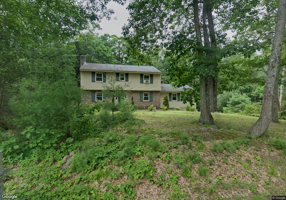
46 MacK Hill Rd Amherst, NH 03031
Estimated Value: $620,000 - $706,000
4
Beds
3
Baths
2,464
Sq Ft
$268/Sq Ft
Est. Value
About This Home
This home is located at 46 MacK Hill Rd, Amherst, NH 03031 and is currently estimated at $660,934, approximately $268 per square foot. 46 MacK Hill Rd is a home with nearby schools including Wilkins Elementary School, Amherst Middle School, and Souhegan Cooperative High School.
Create a Home Valuation Report for This Property
The Home Valuation Report is an in-depth analysis detailing your home's value as well as a comparison with similar homes in the area
Home Values in the Area
Average Home Value in this Area
Tax History
| Year | Tax Paid | Tax Assessment Tax Assessment Total Assessment is a certain percentage of the fair market value that is determined by local assessors to be the total taxable value of land and additions on the property. | Land | Improvement |
|---|---|---|---|---|
| 2025 | $9,887 | $412,300 | $154,000 | $258,300 |
| 2024 | $9,454 | $412,300 | $154,000 | $258,300 |
| 2023 | $9,021 | $412,300 | $154,000 | $258,300 |
| 2022 | $8,712 | $412,300 | $154,000 | $258,300 |
| 2021 | $8,786 | $412,300 | $154,000 | $258,300 |
| 2020 | $8,735 | $306,700 | $123,200 | $183,500 |
| 2019 | $8,269 | $306,700 | $123,200 | $183,500 |
| 2018 | $8,351 | $306,700 | $123,200 | $183,500 |
| 2017 | $7,977 | $306,700 | $123,200 | $183,500 |
| 2016 | $7,698 | $306,700 | $123,200 | $183,500 |
| 2015 | $8,296 | $313,300 | $138,900 | $174,400 |
| 2014 | $8,353 | $313,300 | $138,900 | $174,400 |
| 2013 | $8,287 | $313,300 | $138,900 | $174,400 |
Source: Public Records
Map
Nearby Homes
- 2A Renee Dr
- 3 Renee Dr
- 1B Debbie Ln
- 166 Amherst St
- 100 MacK Hill Rd
- 103 MacK Hill Rd
- 7-101 MacK Hill Rd
- 5 Old Manchester Rd
- 1 Thatcher Dr
- 19 Baboosic Lake Rd
- 11 Pine Top Rd
- 22 Atherton Ln
- 23 Old Manchester Rd
- 0 Orchard View Dr Unit 8
- 19 Highland Dr
- 6 Odell Dr
- 19 Old Milford Rd
- 7 Village Woods Dr
- 28 Spring Rd
- 19 Mulberry Ln
Your Personal Tour Guide
Ask me questions while you tour the home.