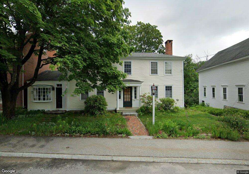
46 Main St Francestown, NH 03043
Greenfield NeighborhoodEstimated Value: $637,000 - $733,000
4
Beds
4
Baths
4,223
Sq Ft
$167/Sq Ft
Est. Value
About This Home
This home is located at 46 Main St, Francestown, NH 03043 and is currently estimated at $704,581, approximately $166 per square foot. 46 Main St is a home with nearby schools including Francestown Elementary School, Great Brook School, and Conval Regional High School.
Ownership History
Date
Name
Owned For
Owner Type
Purchase Details
Closed on
Jun 19, 2008
Sold by
Oneill Charlie A
Bought by
Hazel Daryl F and Wagner-Hazel Janet
Current Estimated Value
Home Financials for this Owner
Home Financials are based on the most recent Mortgage that was taken out on this home.
Original Mortgage
$360,000
Outstanding Balance
$231,600
Interest Rate
6.1%
Mortgage Type
Purchase Money Mortgage
Estimated Equity
$472,981
Create a Home Valuation Report for This Property
The Home Valuation Report is an in-depth analysis detailing your home's value as well as a comparison with similar homes in the area
Home Values in the Area
Average Home Value in this Area
Purchase History
| Date | Buyer | Sale Price | Title Company |
|---|---|---|---|
| Hazel Daryl F | $450,000 | -- |
Source: Public Records
Mortgage History
| Date | Status | Borrower | Loan Amount |
|---|---|---|---|
| Open | Hazel Daryl F | $360,000 | |
| Previous Owner | Hazel Daryl F | $417,000 |
Source: Public Records
Tax History Compared to Growth
Tax History
| Year | Tax Paid | Tax Assessment Tax Assessment Total Assessment is a certain percentage of the fair market value that is determined by local assessors to be the total taxable value of land and additions on the property. | Land | Improvement |
|---|---|---|---|---|
| 2024 | $11,383 | $708,800 | $190,100 | $518,700 |
| 2023 | $10,974 | $393,600 | $95,000 | $298,600 |
| 2022 | $10,171 | $393,600 | $95,000 | $298,600 |
| 2021 | $9,651 | $393,600 | $95,000 | $298,600 |
| 2020 | $10,178 | $393,600 | $95,000 | $298,600 |
| 2019 | $9,513 | $393,600 | $95,000 | $298,600 |
| 2018 | $8,367 | $374,500 | $59,300 | $315,200 |
| 2017 | $5,656 | $374,500 | $59,300 | $315,200 |
| 2016 | $4,761 | $374,500 | $59,300 | $315,200 |
| 2015 | $9,434 | $374,500 | $59,300 | $315,200 |
| 2014 | $9,385 | $374,500 | $59,300 | $315,200 |
| 2013 | $9,613 | $422,200 | $102,600 | $319,600 |
Source: Public Records
Map
Nearby Homes
- 136 Main St
- 210 Main St
- 3 Old County Rd S
- 351 New Boston Rd
- 305 King Hill Rd
- 379 New Boston Rd
- 597 Poor Farm Rd
- 133 Hay Hill Rd
- 1 Cross Rd
- 0 Woodward Hill Rd Unit LOT E 4984900
- 0 Woodward Hill Rd Unit LOT B 4984898
- 1195 Bennington Rd
- 181 Francestown Rd
- Lot 1 Journeys End Rd
- 1115 Pleasant Pond Rd
- 1519 New Boston Rd
- Lot 7-13 Mountain Rd
- R5-20-1 266 Francestown Rd
- 63 New Boston (Route 136) Rd
- 37 Eastside Ln Unit 1