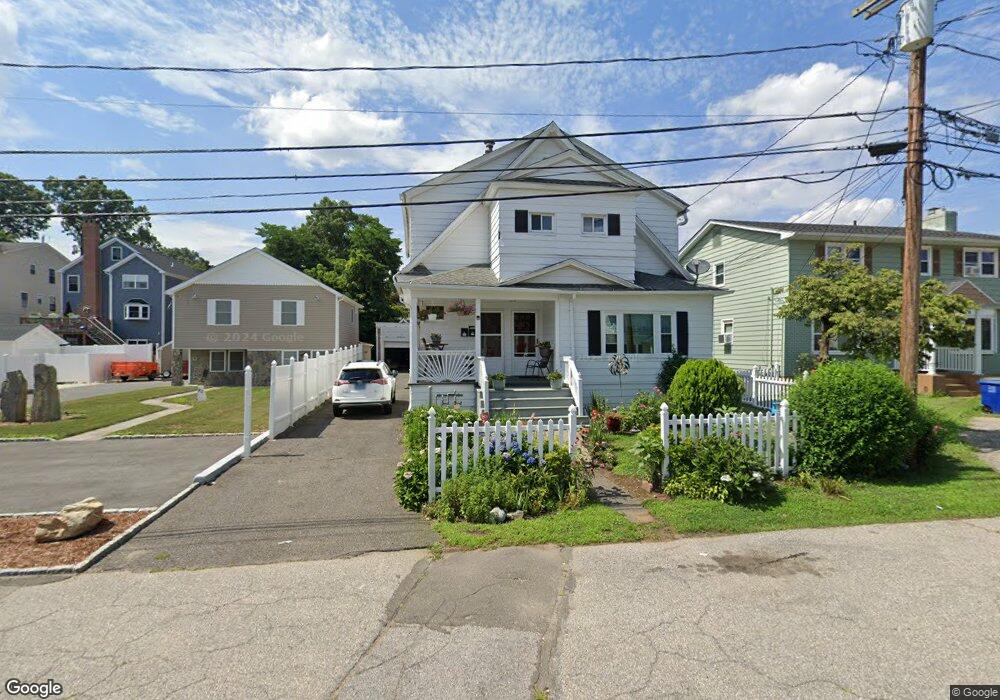
46 Marcel St Unit 48 Bridgeport, CT 06606
North End NeighborhoodEstimated Value: $409,000 - $608,000
4
Beds
2
Baths
2,320
Sq Ft
$226/Sq Ft
Est. Value
About This Home
This home is located at 46 Marcel St Unit 48, Bridgeport, CT 06606 and is currently estimated at $523,831, approximately $225 per square foot. 46 Marcel St Unit 48 is a home located in Fairfield County with nearby schools including John Winthrop School, Central High School, and St Andrew School.
Ownership History
Date
Name
Owned For
Owner Type
Purchase Details
Closed on
Jul 27, 1998
Sold by
Eross Andrew E and Eross Daw Marie
Bought by
Palmer Doreen
Current Estimated Value
Purchase Details
Closed on
Dec 28, 1994
Sold by
Johnson Carmella and Romano Susie
Bought by
Declement Dawn M
Create a Home Valuation Report for This Property
The Home Valuation Report is an in-depth analysis detailing your home's value as well as a comparison with similar homes in the area
Home Values in the Area
Average Home Value in this Area
Purchase History
| Date | Buyer | Sale Price | Title Company |
|---|---|---|---|
| Palmer Doreen | $128,000 | -- | |
| Palmer Doreen | $128,000 | -- | |
| Declement Dawn M | $75,000 | -- | |
| Declement Dawn M | $25,000 | -- | |
| Declement Dawn M | $75,000 | -- |
Source: Public Records
Mortgage History
| Date | Status | Borrower | Loan Amount |
|---|---|---|---|
| Open | Declement Dawn M | $310,000 | |
| Closed | Declement Dawn M | $294,300 | |
| Closed | Declement Dawn M | $148,150 |
Source: Public Records
Tax History
| Year | Tax Paid | Tax Assessment Tax Assessment Total Assessment is a certain percentage of the fair market value that is determined by local assessors to be the total taxable value of land and additions on the property. | Land | Improvement |
|---|---|---|---|---|
| 2025 | $7,851 | $180,680 | $75,310 | $105,370 |
| 2024 | $7,851 | $180,680 | $75,310 | $105,370 |
| 2023 | $7,851 | $180,680 | $75,310 | $105,370 |
| 2022 | $7,851 | $180,680 | $75,310 | $105,370 |
| 2021 | $7,851 | $180,680 | $75,310 | $105,370 |
| 2020 | $7,065 | $130,860 | $43,270 | $87,590 |
| 2019 | $7,065 | $130,860 | $43,270 | $87,590 |
| 2018 | $7,115 | $130,860 | $43,270 | $87,590 |
| 2017 | $7,115 | $130,860 | $43,270 | $87,590 |
| 2016 | $7,115 | $130,860 | $43,270 | $87,590 |
| 2015 | $7,224 | $171,180 | $49,980 | $121,200 |
| 2014 | $7,224 | $171,180 | $49,980 | $121,200 |
Source: Public Records
Map
Nearby Homes
- 35 Marcel St
- 75 Fleet St
- 93 Oxford St Unit 95
- 33 Trelane Dr
- 200 Woodmont Ave Unit 130
- 333 Vincellette St Unit 27
- 333 Vincellette St Unit 8
- 291 Frenchtown Rd
- 76 Luther St
- 37 Herald Ave
- 335 Glendale Ave Unit G11
- 315 Tesiny Ave
- 26 Victory St
- 1095 Wayne St
- 50 Greenhouse Rd Unit 49C
- 50 Greenhouse Rd Unit 33D
- 50 Greenhouse Rd Unit 33C
- 578 Beechmont Ave
- 495 Vincellette St Unit 12
- 316 Goldenrod Ave
Your Personal Tour Guide
Ask me questions while you tour the home.