46 Mares Pond Dr East Falmouth, MA 02536
Hatchville NeighborhoodEstimated Value: $847,326 - $932,000
3
Beds
3
Baths
1,923
Sq Ft
$471/Sq Ft
Est. Value
About This Home
This home is located at 46 Mares Pond Dr, East Falmouth, MA 02536 and is currently estimated at $905,082, approximately $470 per square foot. 46 Mares Pond Dr is a home located in Barnstable County with nearby schools including Mullen-Hall School, Morse Pond School, and Lawrence School.
Ownership History
Date
Name
Owned For
Owner Type
Purchase Details
Closed on
Sep 30, 1980
Bought by
Atwood Donald D and Atwood Margaret M
Current Estimated Value
Create a Home Valuation Report for This Property
The Home Valuation Report is an in-depth analysis detailing your home's value as well as a comparison with similar homes in the area
Home Values in the Area
Average Home Value in this Area
Purchase History
| Date | Buyer | Sale Price | Title Company |
|---|---|---|---|
| Atwood Donald D | $130,000 | -- |
Source: Public Records
Mortgage History
| Date | Status | Borrower | Loan Amount |
|---|---|---|---|
| Open | Atwood Donald D | $372,000 | |
| Closed | Atwood Donald D | $250,000 | |
| Closed | Atwood Donald D | $150,000 | |
| Closed | Atwood Donald D | $75,000 |
Source: Public Records
Tax History Compared to Growth
Tax History
| Year | Tax Paid | Tax Assessment Tax Assessment Total Assessment is a certain percentage of the fair market value that is determined by local assessors to be the total taxable value of land and additions on the property. | Land | Improvement |
|---|---|---|---|---|
| 2025 | $4,945 | $842,500 | $324,300 | $518,200 |
| 2024 | $4,819 | $767,300 | $295,600 | $471,700 |
| 2023 | $4,552 | $657,800 | $295,600 | $362,200 |
| 2022 | $4,281 | $531,800 | $230,200 | $301,600 |
| 2021 | $4,208 | $495,000 | $230,200 | $264,800 |
| 2020 | $4,073 | $474,100 | $209,300 | $264,800 |
| 2019 | $4,003 | $467,600 | $209,300 | $258,300 |
| 2018 | $3,944 | $458,600 | $209,300 | $249,300 |
| 2017 | $3,837 | $449,800 | $209,300 | $240,500 |
| 2016 | $3,765 | $449,800 | $209,300 | $240,500 |
| 2015 | $3,684 | $449,800 | $209,300 | $240,500 |
| 2014 | $3,553 | $436,000 | $209,300 | $226,700 |
Source: Public Records
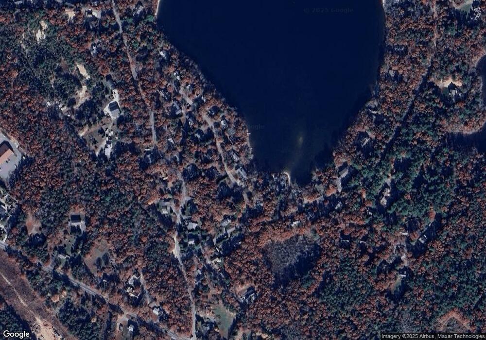
Map
Nearby Homes
- 12 Beach Plum Path
- 273 Sandwich Rd
- 4 Josiah Path
- 7 Josiah Path
- 18 Josiah Path
- 20 Josiah Path
- 21 Josiah Path
- 30 Josiah Path
- 149 Brick Kiln Rd
- 32 Jamie Ln
- 17 Pinewood Dr
- 25 Percival Rd
- 12 Rock Hollow Dr
- 68 Deepwood Dr
- 63 Pine Valley Dr Unit 63 aka 30A
- 59 Whitecaps Dr
- 131 Heritage Cir
- 70 Meredith Dr
- 100 Tanglewood Dr
- 49 Broken Bow Ln
- 42 Mares Pond Dr
- 50 Mares Pond Dr
- 41 Mares Pond Dr
- 49 Mares Pond Dr
- 38 Mares Pond Dr
- 39 Mares Pond Dr
- 36 Pattee Rd
- 54 Mares Pond Dr
- 16 Pattee Rd
- 369 Locustfield Rd
- 373 Locustfield Rd
- 32 Mares Pond Dr
- 31 Mares Pond Dr
- 365 Locustfield Rd
- 379 Locustfield Rd
- 26 Mares Pond Dr
- 21 Pattee Rd
- 359 Locustfield Rd
- 37 Pattee Rd
- 25 Mares Pond Dr