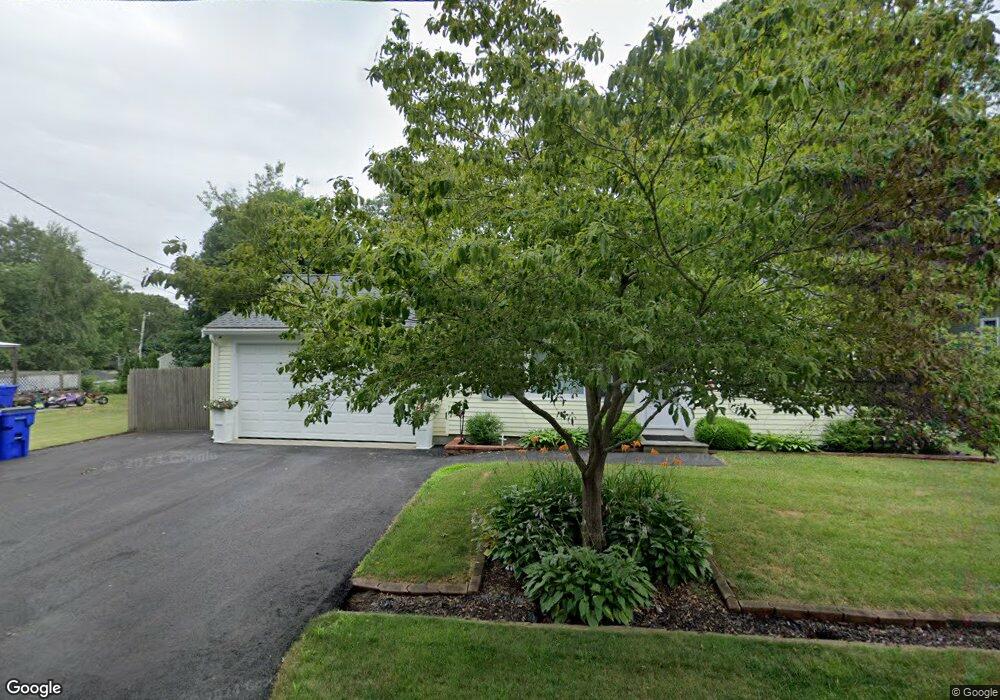
46 Marjorie Ave Pocasset, MA 02559
Pocasset NeighborhoodEstimated Value: $470,000 - $527,000
2
Beds
1
Bath
1,016
Sq Ft
$498/Sq Ft
Est. Value
About This Home
This home is located at 46 Marjorie Ave, Pocasset, MA 02559 and is currently estimated at $505,489, approximately $497 per square foot. 46 Marjorie Ave is a home located in Barnstable County with nearby schools including Bourne High School, Cadence Academy Preschool - Bourne, and St Margaret Regional School.
Ownership History
Date
Name
Owned For
Owner Type
Purchase Details
Closed on
Aug 23, 1999
Sold by
Decicco Joseph M
Bought by
Pereira Kenneth G
Current Estimated Value
Purchase Details
Closed on
Jul 2, 1993
Sold by
Est Haley Margaret M and Haley Ronald C
Bought by
Decicco Joseph M
Create a Home Valuation Report for This Property
The Home Valuation Report is an in-depth analysis detailing your home's value as well as a comparison with similar homes in the area
Home Values in the Area
Average Home Value in this Area
Purchase History
| Date | Buyer | Sale Price | Title Company |
|---|---|---|---|
| Pereira Kenneth G | $98,000 | -- | |
| Pereira Kenneth G | $98,000 | -- | |
| Decicco Joseph M | $59,900 | -- | |
| Decicco Joseph M | $59,900 | -- |
Source: Public Records
Mortgage History
| Date | Status | Borrower | Loan Amount |
|---|---|---|---|
| Open | Decicco Joseph M | $151,000 | |
| Closed | Decicco Joseph M | $30,000 | |
| Closed | Decicco Joseph M | $120,000 |
Source: Public Records
Tax History Compared to Growth
Tax History
| Year | Tax Paid | Tax Assessment Tax Assessment Total Assessment is a certain percentage of the fair market value that is determined by local assessors to be the total taxable value of land and additions on the property. | Land | Improvement |
|---|---|---|---|---|
| 2025 | $3,236 | $414,300 | $191,900 | $222,400 |
| 2024 | $3,130 | $390,300 | $199,400 | $190,900 |
| 2023 | $3,045 | $345,600 | $176,500 | $169,100 |
| 2022 | $2,801 | $277,600 | $143,200 | $134,400 |
| 2021 | $2,722 | $252,700 | $130,300 | $122,400 |
| 2020 | $2,639 | $245,700 | $129,100 | $116,600 |
| 2019 | $2,514 | $239,200 | $129,100 | $110,100 |
| 2018 | $2,403 | $228,000 | $128,500 | $99,500 |
| 2017 | $2,301 | $223,400 | $127,300 | $96,100 |
| 2016 | $2,248 | $221,300 | $127,300 | $94,000 |
| 2015 | $1,839 | $182,600 | $88,600 | $94,000 |
Source: Public Records
Map
Nearby Homes
- 7 4th Ave
- 15 1st St
- 940 County Rd
- 174 Barlows Landing Rd
- 7 Portside Dr
- 940 County Rd
- 709 County Rd
- 254 Barlows Landing Rd
- 39 Bennets Neck Dr
- 1094 County Rd
- 3 Red Brook Pond Dr
- 171 Bellavista Dr
- 48 Red Brook Harbor Rd
- 22 Nairn Rd
- 14 Navajo Rd
- 1234 Route 28a
- 515 County Rd
- 1234 Route 28a
- 501 County Rd
- 34 Kenwood Rd
- 42 Marjorie Ave
- 50 Marjorie Ave
- 120 Williams Ave
- 120 Williams Ave
- 116 Williams Ave
- 124 Williams Ave
- 47 Marjorie Ave
- 38 Marjorie Ave
- 45 Marjorie Ave
- 49 Marjorie Ave
- 128 Williams Ave
- 128 Williams Ave
- 112 Williams Ave
- 41 Marjorie Ave
- 34 Marjorie Ave
- 15 Dollins Rd
- 12 Horne Ave
- 117 Williams Ave
- 132 Williams Ave
- 113 Williams Ave