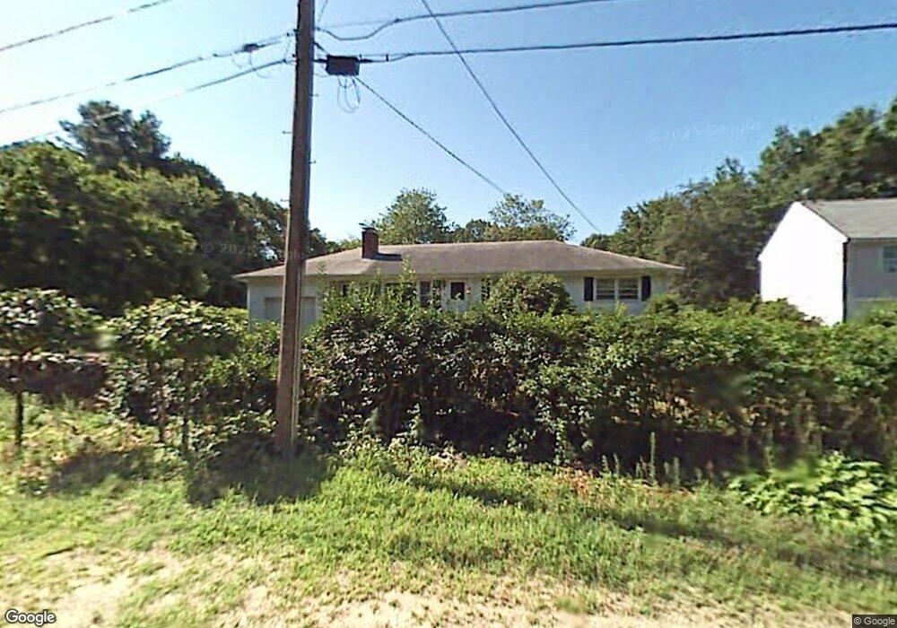
46 Mcclintock Ave Worcester, MA 01604
Broadmeadow Brook NeighborhoodEstimated Value: $456,000 - $508,000
3
Beds
1
Bath
1,360
Sq Ft
$353/Sq Ft
Est. Value
About This Home
This home is located at 46 Mcclintock Ave, Worcester, MA 01604 and is currently estimated at $480,626, approximately $353 per square foot. 46 Mcclintock Ave is a home located in Worcester County with nearby schools including Jacob Hiatt Magnet School, Chandler Magnet, and Rice Square Elementary School.
Ownership History
Date
Name
Owned For
Owner Type
Purchase Details
Closed on
Oct 28, 2020
Sold by
Soares Daniel and Bueno-Soares Giani
Bought by
Soares Daniel D
Current Estimated Value
Home Financials for this Owner
Home Financials are based on the most recent Mortgage that was taken out on this home.
Original Mortgage
$227,750
Outstanding Balance
$200,807
Interest Rate
2.8%
Mortgage Type
New Conventional
Estimated Equity
$279,819
Purchase Details
Closed on
Mar 9, 2016
Sold by
Olihovik Walter M
Bought by
Soares Daniel and Bueno-Soares Giani
Home Financials for this Owner
Home Financials are based on the most recent Mortgage that was taken out on this home.
Original Mortgage
$240,562
Interest Rate
3.62%
Mortgage Type
FHA
Purchase Details
Closed on
Mar 17, 2005
Sold by
Olihovik Walter
Bought by
Olihovik Walter M
Create a Home Valuation Report for This Property
The Home Valuation Report is an in-depth analysis detailing your home's value as well as a comparison with similar homes in the area
Home Values in the Area
Average Home Value in this Area
Purchase History
| Date | Buyer | Sale Price | Title Company |
|---|---|---|---|
| Soares Daniel D | -- | None Available | |
| Soares Daniel | $248,000 | -- | |
| Olihovik Walter M | -- | -- | |
| Olihovik Walter M | -- | -- |
Source: Public Records
Mortgage History
| Date | Status | Borrower | Loan Amount |
|---|---|---|---|
| Open | Soares Daniel D | $227,750 | |
| Previous Owner | Soares Daniel | $240,562 |
Source: Public Records
Tax History
| Year | Tax Paid | Tax Assessment Tax Assessment Total Assessment is a certain percentage of the fair market value that is determined by local assessors to be the total taxable value of land and additions on the property. | Land | Improvement |
|---|---|---|---|---|
| 2025 | $5,842 | $442,900 | $119,000 | $323,900 |
| 2024 | $5,691 | $413,900 | $119,000 | $294,900 |
| 2023 | $5,530 | $385,600 | $103,500 | $282,100 |
| 2022 | $4,913 | $323,000 | $82,800 | $240,200 |
| 2021 | $4,923 | $302,400 | $66,200 | $236,200 |
| 2020 | $4,699 | $276,400 | $66,200 | $210,200 |
| 2019 | $4,576 | $254,200 | $59,700 | $194,500 |
| 2018 | $4,402 | $232,800 | $59,700 | $173,100 |
| 2017 | $4,213 | $219,200 | $59,700 | $159,500 |
| 2016 | $3,852 | $186,900 | $44,500 | $142,400 |
| 2015 | $3,751 | $186,900 | $44,500 | $142,400 |
| 2014 | $3,652 | $186,900 | $44,500 | $142,400 |
Source: Public Records
Map
Nearby Homes
- 9 Marissa Cir
- 7 Clarissa St
- 6 Nathaniel St
- 1195 Grafton St Unit 29
- 1195 Grafton St Unit 39
- 3 Julien Ave
- 266 Massasoit Rd
- 7 Barbara St
- 8 Nightview Place
- 259 Massasoit Rd
- 25 Stoneham Rd
- 256 Massasoit Rd
- 1459 Grafton Rd
- 300 Millbury Ave
- 12 Irene Ct
- 53 Denver Terrace
- 11 Maplewood Rd
- 2 Diane St
- 63 Progressive St
- 2 Salisbury St
- 46 Mcclintock Ave
- 44 Mcclintock Ave
- 44A Mcclintock Ave
- Lot Z Mcclintock
- 47 Mcclintock Ave
- 42 Egan Ave
- 43 Mcclintock Ave
- 50 Mcclintock Ave
- 51 Mcclintock Ave
- 40 Mcclintock Ave
- 11 Broome Ave
- 30 Egan Ave
- 26 Broome Ave
- 31 Balis Ave
- 15 Egan Ave
- 15 Egan Ave
- 15 Egan Ave Unit 15
- 38 Mcclintock Ave
- 24 Balis Ave
- 13 Egan Ave
Your Personal Tour Guide
Ask me questions while you tour the home.