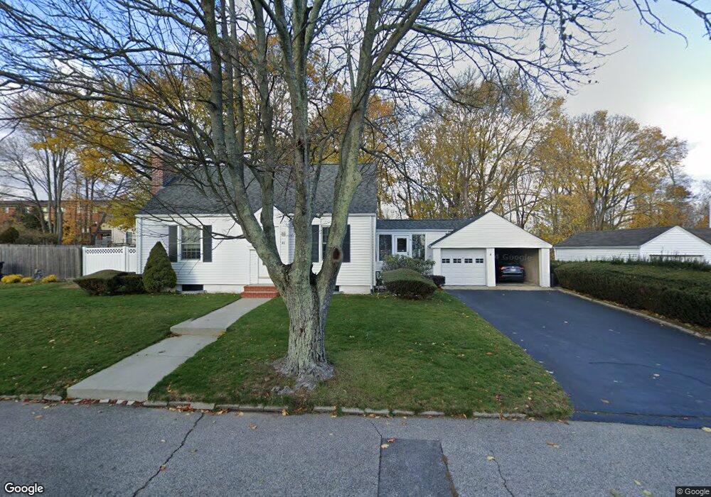
46 Merritt Rd Riverside, RI 02915
Kent Heights NeighborhoodEstimated Value: $411,830 - $447,000
3
Beds
1
Bath
1,005
Sq Ft
$424/Sq Ft
Est. Value
About This Home
This home is located at 46 Merritt Rd, Riverside, RI 02915 and is currently estimated at $426,458, approximately $424 per square foot. 46 Merritt Rd is a home located in Providence County with nearby schools including East Providence High School, St Mary Academy-Bay View, and The Gordon School.
Ownership History
Date
Name
Owned For
Owner Type
Purchase Details
Closed on
Sep 30, 1993
Sold by
Lapointe Joseph R and Lapointe Beth
Bought by
Kiernan Charles J and Kiernan Robin
Current Estimated Value
Purchase Details
Closed on
Oct 3, 1988
Sold by
Roach John
Bought by
Lapointe Joseph
Create a Home Valuation Report for This Property
The Home Valuation Report is an in-depth analysis detailing your home's value as well as a comparison with similar homes in the area
Home Values in the Area
Average Home Value in this Area
Purchase History
| Date | Buyer | Sale Price | Title Company |
|---|---|---|---|
| Kiernan Charles J | $124,000 | -- | |
| Lapointe Joseph | $120,000 | -- | |
| Kiernan Charles J | $124,000 | -- | |
| Lapointe Joseph | $120,000 | -- |
Source: Public Records
Mortgage History
| Date | Status | Borrower | Loan Amount |
|---|---|---|---|
| Closed | Lapointe Joseph | $112,600 | |
| Closed | Lapointe Joseph | $27,100 |
Source: Public Records
Tax History Compared to Growth
Tax History
| Year | Tax Paid | Tax Assessment Tax Assessment Total Assessment is a certain percentage of the fair market value that is determined by local assessors to be the total taxable value of land and additions on the property. | Land | Improvement |
|---|---|---|---|---|
| 2025 | $5,157 | $394,600 | $148,300 | $246,300 |
| 2024 | $5,111 | $333,400 | $123,600 | $209,800 |
| 2023 | $4,921 | $333,400 | $123,600 | $209,800 |
| 2022 | $4,779 | $218,600 | $70,300 | $148,300 |
| 2021 | $4,700 | $218,600 | $70,300 | $148,300 |
| 2020 | $4,501 | $218,600 | $70,300 | $148,300 |
| 2019 | $4,376 | $218,600 | $70,300 | $148,300 |
| 2018 | $4,112 | $179,700 | $54,500 | $125,200 |
| 2017 | $4,020 | $179,700 | $54,500 | $125,200 |
| 2016 | $4,000 | $179,700 | $54,500 | $125,200 |
| 2015 | $3,904 | $170,100 | $50,400 | $119,700 |
| 2014 | $3,904 | $170,100 | $50,400 | $119,700 |
Source: Public Records
Map
Nearby Homes
- 59 Merritt Rd
- 10 Fairfield Ave
- 108 Ivan Ave
- 53 Wampanoag Trail
- 14 Waterview Ave Unit 16
- 36 Gerald St
- 50 Kettle Point Ave Unit 50
- 87 Vincent Ave
- 180 Grassmere Ave
- 740 Veterans Memorial Pkwy
- 3421 Pawtucket Ave
- 1463 S Broadway
- 25 Ide Ave
- 74 Brookhaven Dr
- 6 Fuller Ave
- 25 Bullocks Point Ave Unit 5C
- 31 Bullocks Point Ave Unit 2A
- 43 Bullocks Point Ave Unit 4C
- 1 Fales St
- 75 Belmont Ave