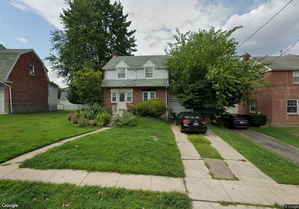
46 N Linden Ave Upper Darby, PA 19082
Estimated Value: $256,000 - $351,000
3
Beds
1
Bath
1,370
Sq Ft
$219/Sq Ft
Est. Value
About This Home
This home is located at 46 N Linden Ave, Upper Darby, PA 19082 and is currently estimated at $300,286, approximately $219 per square foot. 46 N Linden Ave is a home located in Delaware County with nearby schools including Upper Darby Kdg Center, Drexel Hill Middle School, and Upper Darby High School.
Ownership History
Date
Name
Owned For
Owner Type
Purchase Details
Closed on
Sep 28, 2001
Sold by
Sawka Dolores and Gillespie Rose M
Bought by
Gagas Amy
Current Estimated Value
Home Financials for this Owner
Home Financials are based on the most recent Mortgage that was taken out on this home.
Original Mortgage
$76,500
Outstanding Balance
$29,989
Interest Rate
6.91%
Mortgage Type
Purchase Money Mortgage
Estimated Equity
$270,297
Create a Home Valuation Report for This Property
The Home Valuation Report is an in-depth analysis detailing your home's value as well as a comparison with similar homes in the area
Home Values in the Area
Average Home Value in this Area
Purchase History
| Date | Buyer | Sale Price | Title Company |
|---|---|---|---|
| Gagas Amy | $85,000 | T A Title Insurance Company |
Source: Public Records
Mortgage History
| Date | Status | Borrower | Loan Amount |
|---|---|---|---|
| Open | Gagas Amy | $76,500 |
Source: Public Records
Tax History Compared to Growth
Tax History
| Year | Tax Paid | Tax Assessment Tax Assessment Total Assessment is a certain percentage of the fair market value that is determined by local assessors to be the total taxable value of land and additions on the property. | Land | Improvement |
|---|---|---|---|---|
| 2025 | $5,560 | $131,480 | $48,400 | $83,080 |
| 2024 | $5,560 | $131,480 | $48,400 | $83,080 |
| 2023 | $5,508 | $131,480 | $48,400 | $83,080 |
| 2022 | $5,360 | $131,480 | $48,400 | $83,080 |
| 2021 | $7,227 | $131,480 | $48,400 | $83,080 |
| 2020 | $7,041 | $108,850 | $34,800 | $74,050 |
| 2019 | $6,917 | $108,850 | $34,800 | $74,050 |
| 2018 | $6,838 | $108,850 | $0 | $0 |
| 2017 | $6,660 | $108,850 | $0 | $0 |
| 2016 | $597 | $108,850 | $0 | $0 |
| 2015 | $597 | $108,850 | $0 | $0 |
| 2014 | $597 | $108,850 | $0 | $0 |
Source: Public Records
Map
Nearby Homes
- 123 Cunningham Ave
- 221 N Linden Ave
- 9 N Brighton Ave
- 235 N Linden Ave
- 228 N Linden Ave
- 22 S Linden Ave
- 221 E Park Rd
- 223 E Park Rd
- 214 N Lynn Blvd
- 9138 W Chester Pike
- 110 E Township Line Rd
- 142 Foster Ave
- 116 Brentwood Rd
- 147 Juniper Rd
- 8525 Monroe Ave
- 0 Ardmore Ave
- 2228 Manor Ave
- 217 Windsor Ave
- 214 Brentwood Rd
- 643 Saint Anthony Ln
- 48 N Linden Ave
- 44 N Linden Ave
- 33 N Linden Ave
- 31 N Linden Ave
- 50 N Linden Ave
- 35 N Linden Ave
- 212 Magnolia Terrace
- 40 N Linden Ave
- 39 N Linden Ave
- 23 N Linden Ave
- 27 N Kirklyn Ave
- 29 N Kirklyn Ave
- 216 Magnolia Terrace
- 25 N Kirklyn Ave
- 31 N Kirklyn Ave
- 23 N Kirklyn Ave
- 19 N Linden Ave
- 17 N Linden Ave
- 220 Magnolia Terrace
- 36 N Linden Ave