46 Pond View Dr Barnstead, NH 03218
Estimated Value: $646,000 - $942,910
3
Beds
3
Baths
3,524
Sq Ft
$236/Sq Ft
Est. Value
About This Home
This home is located at 46 Pond View Dr, Barnstead, NH 03218 and is currently estimated at $829,970, approximately $235 per square foot. 46 Pond View Dr is a home with nearby schools including Barnstead Elementary School and Prospect Mountain High School.
Ownership History
Date
Name
Owned For
Owner Type
Purchase Details
Closed on
Jun 28, 2018
Sold by
Harding Scott W and Harding Veronica
Bought by
Harding Ft
Current Estimated Value
Purchase Details
Closed on
Oct 2, 2000
Sold by
Silverman Leona R
Bought by
Harding Scott W and Harding Veronica
Home Financials for this Owner
Home Financials are based on the most recent Mortgage that was taken out on this home.
Original Mortgage
$71,200
Interest Rate
7.94%
Create a Home Valuation Report for This Property
The Home Valuation Report is an in-depth analysis detailing your home's value as well as a comparison with similar homes in the area
Home Values in the Area
Average Home Value in this Area
Purchase History
| Date | Buyer | Sale Price | Title Company |
|---|---|---|---|
| Harding Ft | -- | -- | |
| Harding Scott W | $89,000 | -- |
Source: Public Records
Mortgage History
| Date | Status | Borrower | Loan Amount |
|---|---|---|---|
| Previous Owner | Harding Scott W | $210,000 | |
| Previous Owner | Harding Scott W | $25,000 | |
| Previous Owner | Harding Scott W | $71,200 |
Source: Public Records
Tax History
| Year | Tax Paid | Tax Assessment Tax Assessment Total Assessment is a certain percentage of the fair market value that is determined by local assessors to be the total taxable value of land and additions on the property. | Land | Improvement |
|---|---|---|---|---|
| 2025 | $14,252 | $831,000 | $329,600 | $501,400 |
| 2024 | $13,554 | $831,000 | $329,600 | $501,400 |
| 2023 | $11,925 | $831,000 | $329,600 | $501,400 |
| 2022 | $10,102 | $467,700 | $123,000 | $344,700 |
| 2021 | $10,271 | $467,700 | $123,000 | $344,700 |
| 2020 | $10,804 | $467,700 | $123,000 | $344,700 |
| 2019 | $10,678 | $467,700 | $123,000 | $344,700 |
| 2018 | $9,518 | $467,700 | $123,000 | $344,700 |
| 2017 | $9,237 | $338,500 | $116,400 | $222,100 |
| 2016 | $9,224 | $338,500 | $116,400 | $222,100 |
| 2015 | $9,190 | $338,500 | $116,400 | $222,100 |
| 2014 | $8,484 | $354,100 | $116,400 | $237,700 |
| 2013 | $8,321 | $354,100 | $116,400 | $237,700 |
Source: Public Records
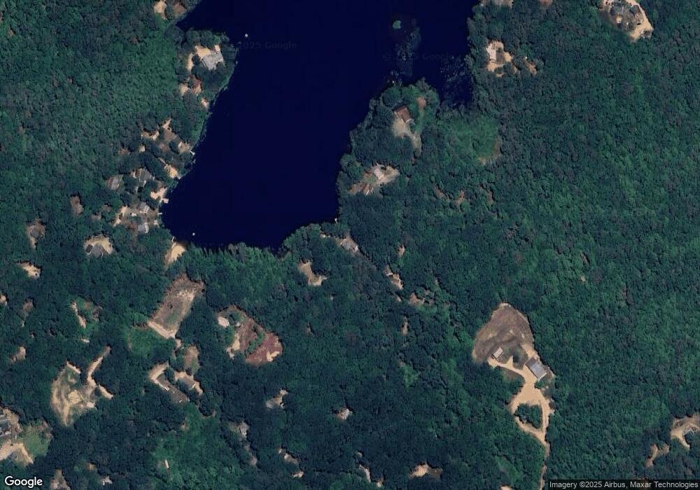
Map
Nearby Homes
- 22 Pinepark Dr
- 4 Sandy Point Rd
- Lot 33 Ridge Rd
- L33 Province Rd
- M2-l29-2 Province Rd
- 1027 Suncook Valley Rd
- 25 Vail Rd
- L68-1 Vail Rd
- L68-2 Vail Rd
- 0 Shaw Rd Unit 36-1
- 58 Windsor Way
- 0 Andover Dr Unit 106 5059711
- 101 Rogers Rd
- 38 Chapelle Rd
- 96 Damsite Rd
- 572 S Barnstead Rd
- 11b Bow Mills Rd
- 4 N Shore Dr
- 61 Crescent Dr
- 15 Davis Dr
- 36 Pond View Dr
- 56 Pond View Dr
- 62 Pond View Dr
- 22 Red Oak Rd
- 35 Red Oak Rd
- Map 22 - Lot 60 Red Oak Rd
- 39 Red Oak Rd
- 9 Red Oak Rd
- 20 Red Oak Rd
- 24 Red Oak Rd
- Lots 54 and 55 Red Oak Rd
- 103 White Birch Rd
- 6 White Birch Rd
- Lot 64 Alder Point Dr
- 17 Alder Point Dr
- 21 Pinepark Dr
- 11 Alder Point Dr
- 13 Alder Point Dr
- 7 Alder Point Dr
- 3 Alder Point Dr
Your Personal Tour Guide
Ask me questions while you tour the home.