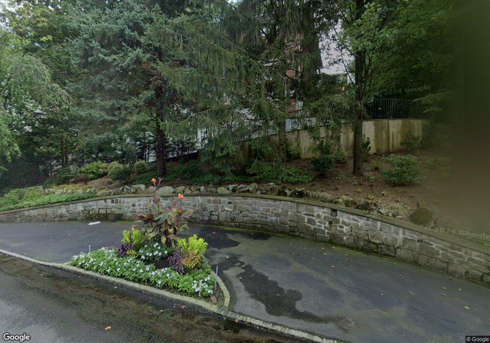
46 Portsmouth Ave Staten Island, NY 10301
Emerson Hill NeighborhoodEstimated Value: $1,704,436 - $2,108,000
5
Beds
4
Baths
3,926
Sq Ft
$480/Sq Ft
Est. Value
About This Home
This home is located at 46 Portsmouth Ave, Staten Island, NY 10301 and is currently estimated at $1,883,812, approximately $479 per square foot. 46 Portsmouth Ave is a home located in Richmond County with nearby schools including P.S. 29 Bardwell, Intermediate School 27, and Susan E Wagner High School.
Ownership History
Date
Name
Owned For
Owner Type
Purchase Details
Closed on
Dec 10, 2001
Sold by
Michaelis John and Michaelis Inge
Bought by
Cialdella Philip and Cialdella Barbara
Current Estimated Value
Home Financials for this Owner
Home Financials are based on the most recent Mortgage that was taken out on this home.
Original Mortgage
$375,000
Interest Rate
7.14%
Create a Home Valuation Report for This Property
The Home Valuation Report is an in-depth analysis detailing your home's value as well as a comparison with similar homes in the area
Home Values in the Area
Average Home Value in this Area
Purchase History
| Date | Buyer | Sale Price | Title Company |
|---|---|---|---|
| Cialdella Philip | $777,500 | First American Title Ins Co |
Source: Public Records
Mortgage History
| Date | Status | Borrower | Loan Amount |
|---|---|---|---|
| Previous Owner | Cialdella Philip | $375,000 |
Source: Public Records
Tax History Compared to Growth
Tax History
| Year | Tax Paid | Tax Assessment Tax Assessment Total Assessment is a certain percentage of the fair market value that is determined by local assessors to be the total taxable value of land and additions on the property. | Land | Improvement |
|---|---|---|---|---|
| 2025 | $15,072 | $93,540 | $25,051 | $68,489 |
| 2024 | $15,084 | $76,440 | $35,596 | $40,844 |
| 2023 | $17,742 | $88,759 | $28,693 | $60,066 |
| 2022 | $16,716 | $90,240 | $28,920 | $61,320 |
| 2021 | $17,622 | $91,020 | $28,920 | $62,100 |
| 2020 | $16,978 | $80,940 | $28,920 | $52,020 |
| 2019 | $16,401 | $87,660 | $28,920 | $58,740 |
| 2018 | $15,078 | $73,966 | $26,526 | $47,440 |
| 2017 | $13,925 | $69,780 | $28,920 | $40,860 |
| 2016 | $13,854 | $70,850 | $25,969 | $44,881 |
| 2015 | $12,467 | $66,840 | $25,740 | $41,100 |
| 2014 | $12,467 | $66,550 | $21,777 | $44,773 |
Source: Public Records
Map
Nearby Homes
- 25 Coverly Ave
- 533 Ocean Terrace
- 420 Ocean Terrace
- 399 Ocean Terrace
- 18 Emerson Ave
- 119 Coverly Ave
- 620 Ocean Terrace
- 26 Emerson Ave
- 373 Ocean Terrace
- 367 Ocean Terrace
- 47 Longfellow Ave
- 210 Spring St Unit 5 FL
- 210 Spring St Unit 5
- 201 Milford Ave
- 69 Longfellow Ave
- 74 Longfellow Ave
- 44 Annfield Ct
- 26 Highpoint Rd
- 61 Woodhaven Ave
- 28 Ridge Ave
- 41 Coverly Ave
- 35 Coverly Ave
- 56 Portsmouth Ave
- 36 Portsmouth Ave
- 25 Coverly Rd
- 45 Coverly Ave
- 337 Deere Park Place
- 68 Portsmouth Ave
- 30 Portsmouth Ave
- 61 Portsmouth Ave
- 7 Portsmouth Ave
- 55 Coverly Ave
- 347 Deere Park Place
- 26 Coverly Ave
- 17 Coverly Ave
- 40 Coverly Ave
- 32 Coverly Ave
- 354 Deere Park Place
- 16 Portsmouth Ave
- 5 Portsmouth Ave