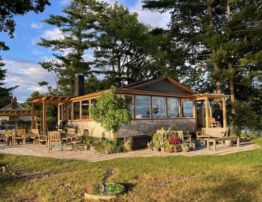
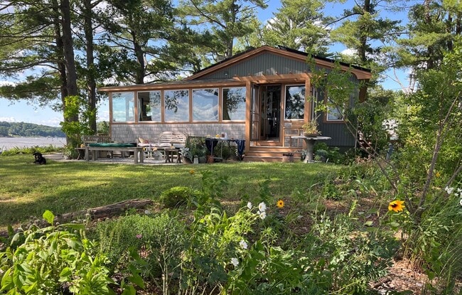
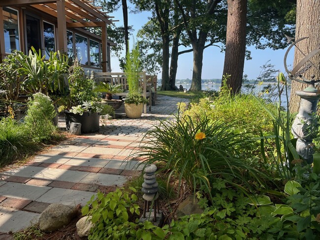
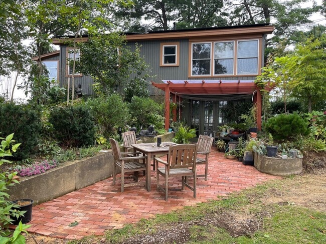
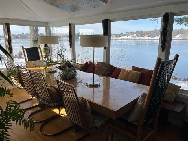
1
Bed
2
Baths
1,200
Sq Ft
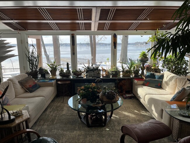
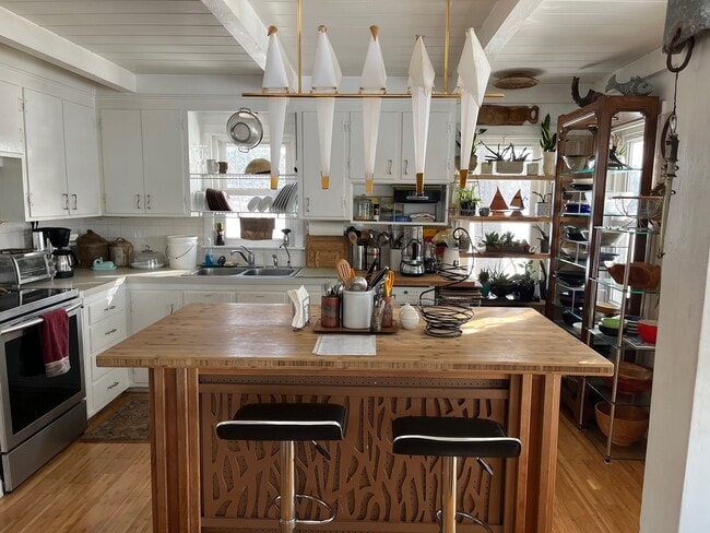
About This Apartment
Listing Provided By

Pricing and Floor Plans
1 Bedroom
1 Bedroom + Den
$1,500 total monthly price
1 Bed, 2 Baths, 1,200 Sq Ft
/assets/images/102/property-no-image-available.png
| Unit | Price | Sq Ft | Availability |
|---|---|---|---|
| -- | $1,500 | 1,200 | Feb 1, 2026 |
Map
Nearby Homes
- 0 Cote Dr
- 348 Dover Point Rd
- Slip B18 Little Bay
- 354 Dover Point Rd
- 27 Wentworth Terrace
- 59 Clearwater Dr
- 33 Little Bay Dr
- 18 Little Bay Dr
- 708 River Rd Unit 3
- 708 River Rd Unit 2
- SLIP 15 Little Bay Marina
- 18 Governor Hill Rd
- 1708 State Rd
- 25 Shore Ln
- 4 Shore Ln
- 25 Fosters Dr
- 245 Piscataqua Rd
- 30 Cedar Point Rd
- 71 Shipwright Way
- 82 Shipwright Way
- 15 Cedar Point Rd
- 25 Nute Rd
- 955 Main St Unit 1
- 38 Levesque Dr
- 16 Centennial Dr
- 5 Sheffield Dr
- 50 Pointe Place
- 50 Sheffield Dr Unit 205
- 324 Main St
- 2-24 Adelle Dr
- 79 Porpoise Way
- 20 Stark Ave
- 71 Spinnaker Way
- 648 Kearsarge Way Unit 648
- 1275 Maplewood Ave Unit 7
- 99 Spinnaker Way
- 41 Seacoast Terrace
- 480 Newington Rd
- 1061 Maplewood Ave
- 1061 Maplewood Ave