46 Stanton Way North Andover, MA 01845
Estimated Value: $1,081,000 - $1,415,000
4
Beds
3
Baths
2,992
Sq Ft
$405/Sq Ft
Est. Value
About This Home
This home is located at 46 Stanton Way, North Andover, MA 01845 and is currently estimated at $1,213,138, approximately $405 per square foot. 46 Stanton Way is a home with nearby schools including Kittredge Elementary School, North Andover Middle School, and North Andover High School.
Ownership History
Date
Name
Owned For
Owner Type
Purchase Details
Closed on
May 30, 2014
Sold by
Cranfield Investments
Bought by
Ramanathan Ramanathan K K and Vairavan Meena
Current Estimated Value
Home Financials for this Owner
Home Financials are based on the most recent Mortgage that was taken out on this home.
Original Mortgage
$450,000
Outstanding Balance
$342,052
Interest Rate
4.26%
Mortgage Type
New Conventional
Estimated Equity
$871,086
Create a Home Valuation Report for This Property
The Home Valuation Report is an in-depth analysis detailing your home's value as well as a comparison with similar homes in the area
Home Values in the Area
Average Home Value in this Area
Purchase History
| Date | Buyer | Sale Price | Title Company |
|---|---|---|---|
| Ramanathan Ramanathan K K | $720,000 | -- |
Source: Public Records
Mortgage History
| Date | Status | Borrower | Loan Amount |
|---|---|---|---|
| Open | Ramanathan Ramanathan K K | $450,000 |
Source: Public Records
Tax History
| Year | Tax Paid | Tax Assessment Tax Assessment Total Assessment is a certain percentage of the fair market value that is determined by local assessors to be the total taxable value of land and additions on the property. | Land | Improvement |
|---|---|---|---|---|
| 2025 | $11,922 | $1,058,800 | $414,900 | $643,900 |
| 2024 | $11,392 | $1,027,200 | $393,100 | $634,100 |
| 2023 | $10,943 | $894,000 | $332,100 | $561,900 |
| 2022 | $10,566 | $780,900 | $301,600 | $479,300 |
| 2021 | $10,134 | $715,200 | $273,300 | $441,900 |
| 2020 | $9,827 | $715,200 | $273,300 | $441,900 |
| 2019 | $9,591 | $715,200 | $273,300 | $441,900 |
| 2018 | $10,392 | $715,200 | $273,300 | $441,900 |
| 2017 | $9,985 | $699,200 | $214,200 | $485,000 |
| 2016 | $9,357 | $655,700 | $212,900 | $442,800 |
| 2015 | $9,356 | $650,200 | $209,300 | $440,900 |
Source: Public Records
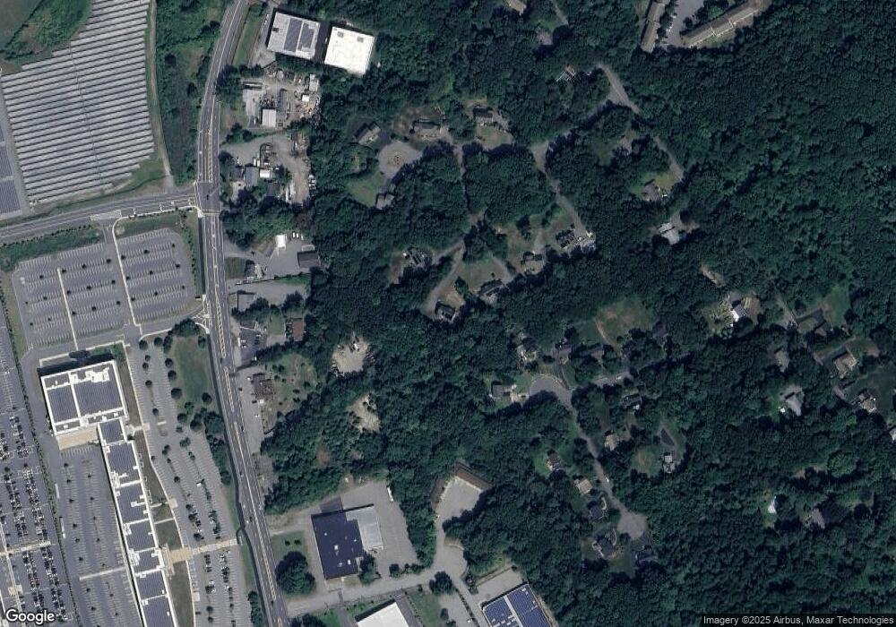
Map
Nearby Homes
- 24 Farrwood Place
- 183 Farrwood Dr
- 414 Farrwood Dr Unit 414
- 2 Cross Rd Unit 2
- 29 Bradstreet Ave
- 16 Christopher Dr Unit 38
- 45 Christopher Dr Unit 106
- 175 Carter Field Rd
- 260 Willow Ave
- 17 Ferry Rd
- 6 Ferry Rd
- 0 Great Pond Rd
- 201 Aberdeen Rd
- 1 Riverview Blvd Unit 8-203
- 1 Riverview Blvd Unit 1:209
- 1 Riverview Blvd Unit 4-203
- 51 Ford St Unit A
- 10 Fenwick Cir
- 179 Pleasant Valley St Unit F
- 27 Russell Farm Dr
- 42 Stanton Way
- 50 Stanton Way
- 67 White Birch Ln
- 61 White Birch Ln
- 30 Stanton Way
- 53 White Birch Ln
- 64 Stanton Way
- 26 Stanton Way
- 45 White Birch Ln
- 1609 Osgood St
- Lot-16-7 Stanton Way
- 64 White Birch Ln
- 1637 Osgood St Unit 2
- 1637 Osgood St Unit 1
- 1637 Osgood St
- 16-4 Stanton Way
- 51 Stanton Way
- 31 Stanton Way
- 37 White Birch Ln
- 16 Stanton Way
Your Personal Tour Guide
Ask me questions while you tour the home.