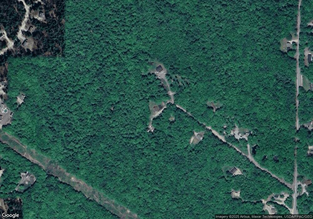
46 Wing Ave New Gloucester, ME 04260
Estimated Value: $389,627 - $438,000
2
Beds
2
Baths
960
Sq Ft
$429/Sq Ft
Est. Value
About This Home
This home is located at 46 Wing Ave, New Gloucester, ME 04260 and is currently estimated at $411,407, approximately $428 per square foot. 46 Wing Ave is a home with nearby schools including Gray-New Gloucester High School and Fiddlehead School of Arts & Science.
Create a Home Valuation Report for This Property
The Home Valuation Report is an in-depth analysis detailing your home's value as well as a comparison with similar homes in the area
Home Values in the Area
Average Home Value in this Area
Tax History Compared to Growth
Tax History
| Year | Tax Paid | Tax Assessment Tax Assessment Total Assessment is a certain percentage of the fair market value that is determined by local assessors to be the total taxable value of land and additions on the property. | Land | Improvement |
|---|---|---|---|---|
| 2025 | $3,308 | $213,806 | $89,070 | $124,736 |
| 2024 | $3,184 | $213,806 | $89,070 | $124,736 |
| 2023 | $3,055 | $213,806 | $89,070 | $124,736 |
| 2022 | $2,951 | $213,806 | $89,070 | $124,736 |
| 2021 | $2,951 | $213,806 | $89,070 | $124,736 |
| 2020 | $2,918 | $213,806 | $89,070 | $124,736 |
| 2019 | $2,530 | $149,700 | $49,000 | $100,700 |
| 2018 | $2,049 | $149,700 | $49,000 | $100,700 |
| 2017 | $2,335 | $149,700 | $49,000 | $100,700 |
| 2016 | $2,201 | $149,700 | $49,000 | $100,700 |
| 2015 | $2,193 | $149,700 | $49,000 | $100,700 |
| 2014 | $2,171 | $149,700 | $49,000 | $100,700 |
| 2013 | $2,013 | $149,700 | $49,000 | $100,700 |
Source: Public Records
Map
Nearby Homes
- 86 Skips Way
- TBD Targett Rd
- 155 & 151 Gloucester Hill Rd
- 271 Bennett Rd
- 10 Cobbs Bridge Rd
- 0 Mayall
- 2 Alling Dr
- 13 Mill Brook Rd Unit A
- 194 Weymouth Rd
- 14 Golden Way
- 112 N Raymond Rd
- 4 Wanda Ln
- 4 Chelsey Ln
- 200 Woodman Rd
- 27 Callaway Dr Unit 27B
- 17 Callaway Dr Unit 17
- 182 Bald Hill Rd Unit J3
- 0 Colley Hill Rd
- 127 Shaker Rd Unit 41
- 12 Country Charm Ln
