46 Wolfeboro Rd Hanover, NH 03755
Estimated Value: $1,110,100 - $1,813,000
5
Beds
3
Baths
2,676
Sq Ft
$501/Sq Ft
Est. Value
About This Home
This home is located at 46 Wolfeboro Rd, Hanover, NH 03755 and is currently estimated at $1,339,525, approximately $500 per square foot. 46 Wolfeboro Rd is a home with nearby schools including Bernice A. Ray School, Frances C. Richmond School, and Hanover High School.
Ownership History
Date
Name
Owned For
Owner Type
Purchase Details
Closed on
Feb 15, 2001
Sold by
Elizabeth O Rose Ret
Bought by
Ogielski Andrew T and Ogielski Sophia J
Current Estimated Value
Home Financials for this Owner
Home Financials are based on the most recent Mortgage that was taken out on this home.
Original Mortgage
$337,500
Outstanding Balance
$126,488
Interest Rate
7.08%
Mortgage Type
Purchase Money Mortgage
Estimated Equity
$1,213,037
Create a Home Valuation Report for This Property
The Home Valuation Report is an in-depth analysis detailing your home's value as well as a comparison with similar homes in the area
Home Values in the Area
Average Home Value in this Area
Purchase History
| Date | Buyer | Sale Price | Title Company |
|---|---|---|---|
| Ogielski Andrew T | $497,500 | -- |
Source: Public Records
Mortgage History
| Date | Status | Borrower | Loan Amount |
|---|---|---|---|
| Open | Ogielski Andrew T | $200,000 | |
| Open | Ogielski Andrew T | $337,500 |
Source: Public Records
Tax History Compared to Growth
Tax History
| Year | Tax Paid | Tax Assessment Tax Assessment Total Assessment is a certain percentage of the fair market value that is determined by local assessors to be the total taxable value of land and additions on the property. | Land | Improvement |
|---|---|---|---|---|
| 2024 | $15,419 | $807,300 | $238,000 | $569,300 |
| 2023 | $14,838 | $807,300 | $238,000 | $569,300 |
| 2022 | $14,249 | $807,300 | $238,000 | $569,300 |
| 2021 | $14,104 | $807,300 | $238,000 | $569,300 |
| 2020 | $14,988 | $748,300 | $273,600 | $474,700 |
| 2019 | $14,786 | $748,300 | $273,600 | $474,700 |
| 2018 | $14,901 | $733,800 | $273,600 | $460,200 |
| 2017 | $14,623 | $687,500 | $245,700 | $441,800 |
| 2016 | $14,499 | $687,500 | $245,700 | $441,800 |
| 2015 | $14,211 | $687,500 | $245,700 | $441,800 |
| 2014 | $13,585 | $687,500 | $245,700 | $441,800 |
| 2013 | $13,083 | $687,500 | $245,700 | $441,800 |
| 2012 | $12,767 | $703,800 | $257,300 | $446,500 |
Source: Public Records
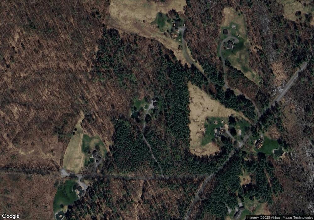
Map
Nearby Homes
- 44 3 Mile Rd
- 633 Hanover Center Rd
- 23 Granite Way
- 24 Granite Way
- X Whispering Winds Way
- 48 Rennie Rd
- 7 Mulherrin Farm Rd
- 208 Grafton Turnpike Rd
- 153 May St
- 25 Rogers Way
- 64 Washburn Hill Rd
- 0 Lovejoy Brook Rd
- 361 Dorchester Rd
- 00 Derush Rd Unit 2
- 7 Flanders St
- 546 Canaan St
- 25 Union St
- 532 Canaan St
- 511 Dartmouth College Hwy
- 50 Old Dorchester Rd