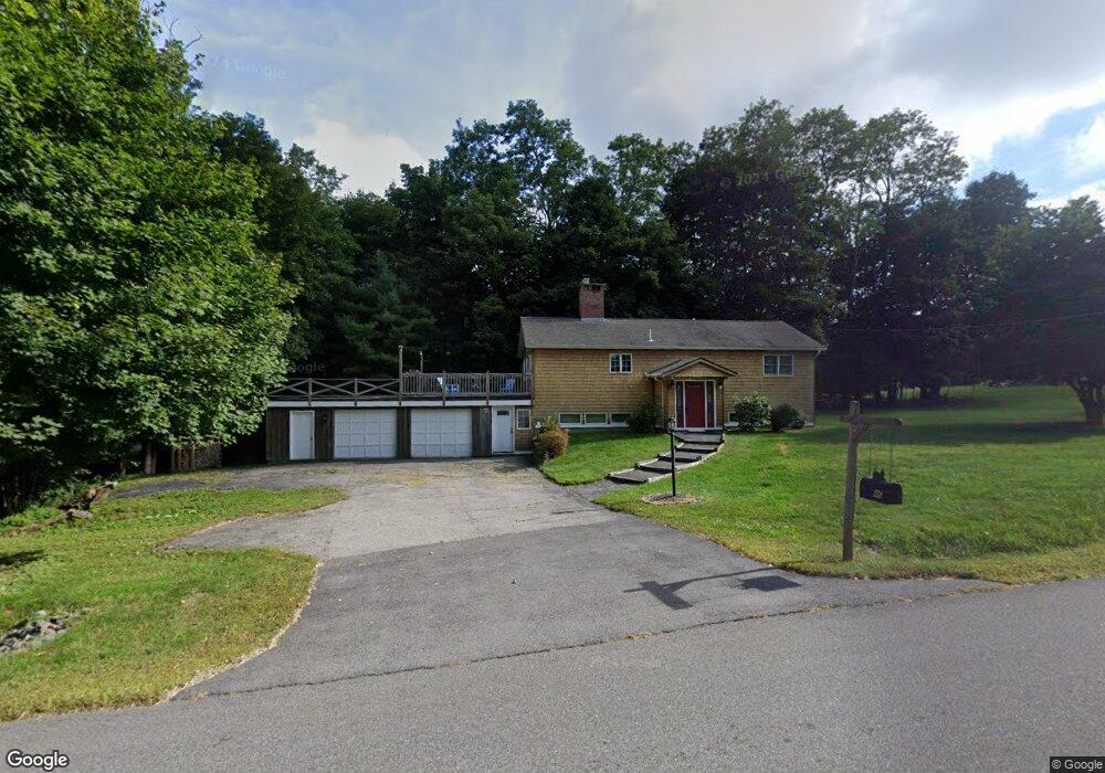
46 Wood Rd Gorham, ME 04038
Estimated Value: $460,081 - $534,000
3
Beds
2
Baths
1,104
Sq Ft
$438/Sq Ft
Est. Value
About This Home
This home is located at 46 Wood Rd, Gorham, ME 04038 and is currently estimated at $483,020, approximately $437 per square foot. 46 Wood Rd is a home located in Cumberland County with nearby schools including Village Elementary School, Gorham Middle School, and Gorham High School.
Ownership History
Date
Name
Owned For
Owner Type
Purchase Details
Closed on
Jul 8, 2025
Sold by
Avaria Jennifer and Smith Onalee J
Bought by
Smith Onalee J and Smith Robert D
Current Estimated Value
Purchase Details
Closed on
May 30, 2013
Sold by
Felten Onalee D Est and Smith-Onalee
Bought by
Smith Onalee J and Avaria Jennifer
Create a Home Valuation Report for This Property
The Home Valuation Report is an in-depth analysis detailing your home's value as well as a comparison with similar homes in the area
Home Values in the Area
Average Home Value in this Area
Purchase History
| Date | Buyer | Sale Price | Title Company |
|---|---|---|---|
| Smith Onalee J | -- | -- | |
| Smith Onalee J | -- | -- | |
| Smith Onalee J | -- | -- | |
| Smith Onalee J | -- | -- | |
| Smith Onalee J | -- | -- | |
| Smith Onalee J | -- | -- |
Source: Public Records
Tax History
| Year | Tax Paid | Tax Assessment Tax Assessment Total Assessment is a certain percentage of the fair market value that is determined by local assessors to be the total taxable value of land and additions on the property. | Land | Improvement |
|---|---|---|---|---|
| 2025 | $4,814 | $325,300 | $79,800 | $245,500 |
| 2024 | $4,782 | $325,300 | $79,800 | $245,500 |
| 2023 | $4,473 | $325,300 | $79,800 | $245,500 |
| 2022 | $4,180 | $325,300 | $79,800 | $245,500 |
| 2021 | $3,347 | $172,500 | $67,900 | $104,600 |
| 2020 | $3,278 | $172,500 | $67,900 | $104,600 |
| 2019 | $3,269 | $172,500 | $67,900 | $104,600 |
| 2018 | $3,140 | $172,500 | $67,900 | $104,600 |
| 2017 | $2,950 | $172,500 | $67,900 | $104,600 |
| 2016 | $2,933 | $172,500 | $67,900 | $104,600 |
| 2015 | $2,812 | $172,500 | $67,900 | $104,600 |
| 2014 | $2,702 | $155,300 | $62,000 | $93,300 |
| 2013 | $2,687 | $155,300 | $62,000 | $93,300 |
Source: Public Records
Map
Nearby Homes
- 35 Rust Rd
- 4 Musket Dr
- 127 Falcon Crest Dr Unit 4
- 866 Parker Farm Rd Unit A
- 866 Parker Farm Rd Unit B
- 52 Morrill Ave
- 866 Parker Farm Lot B Rd
- 866 Parker Farm Lot A Rd
- 185 Falcon Crest Dr Unit 29
- 182 Falcon Crest Dr Unit 56
- 187 Falcon Crest Dr Unit 30
- 189 Falcon Crest Dr Unit 31
- 188 Falcon Crest Dr Unit 58
- 191 Falcon Crest Dr Unit 32
- 193 Falcon Crest Dr Unit 33
- 192 Falcon Crest Dr Unit 59
- 194 Falcon Crest Dr Unit 60
- 195 Falcon Crest Dr Unit 34
- 17 Boreal Dr
- 30 Boreal Dr
Your Personal Tour Guide
Ask me questions while you tour the home.