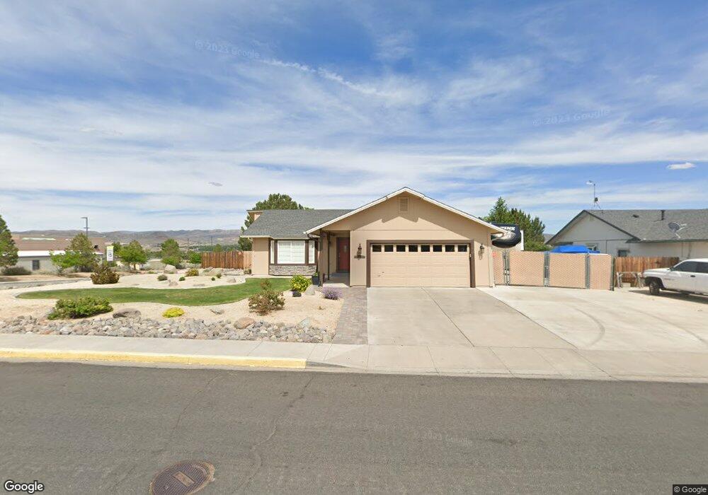
460 Beau Dr Sparks, NV 89436
Eagle Canyon-Pebble Creek NeighborhoodEstimated Value: $479,000 - $534,000
3
Beds
2
Baths
1,502
Sq Ft
$342/Sq Ft
Est. Value
About This Home
This home is located at 460 Beau Dr, Sparks, NV 89436 and is currently estimated at $513,815, approximately $342 per square foot. 460 Beau Dr is a home located in Washoe County with nearby schools including Jesse Hall Elementery School, Yvonne Shaw Middle School, and Spanish Springs High School.
Ownership History
Date
Name
Owned For
Owner Type
Purchase Details
Closed on
Feb 16, 1996
Sold by
Hawco Investment & Development Co Inc
Bought by
Soracco Charles F and Soracco Judith V
Current Estimated Value
Home Financials for this Owner
Home Financials are based on the most recent Mortgage that was taken out on this home.
Original Mortgage
$139,256
Outstanding Balance
$2,775
Interest Rate
7.1%
Mortgage Type
VA
Estimated Equity
$511,040
Create a Home Valuation Report for This Property
The Home Valuation Report is an in-depth analysis detailing your home's value as well as a comparison with similar homes in the area
Home Values in the Area
Average Home Value in this Area
Purchase History
| Date | Buyer | Sale Price | Title Company |
|---|---|---|---|
| Soracco Charles F | $135,500 | Founders Title Co |
Source: Public Records
Mortgage History
| Date | Status | Borrower | Loan Amount |
|---|---|---|---|
| Open | Soracco Charles F | $139,256 |
Source: Public Records
Tax History
| Year | Tax Paid | Tax Assessment Tax Assessment Total Assessment is a certain percentage of the fair market value that is determined by local assessors to be the total taxable value of land and additions on the property. | Land | Improvement |
|---|---|---|---|---|
| 2026 | $2,253 | $97,606 | $40,495 | $57,111 |
| 2025 | $2,188 | $97,666 | $39,270 | $58,396 |
| 2024 | $2,125 | $95,817 | $36,610 | $59,207 |
| 2023 | $2,125 | $92,914 | $37,065 | $55,849 |
| 2022 | $2,065 | $78,991 | $32,340 | $46,651 |
| 2021 | $2,006 | $69,983 | $23,380 | $46,603 |
| 2020 | $1,788 | $64,705 | $23,135 | $41,570 |
| 2019 | $1,736 | $62,381 | $22,050 | $40,331 |
| 2018 | $1,686 | $55,314 | $15,750 | $39,564 |
| 2017 | $1,637 | $54,349 | $14,630 | $39,719 |
| 2016 | $1,596 | $54,224 | $13,615 | $40,609 |
| 2015 | $1,594 | $51,851 | $11,165 | $40,686 |
| 2014 | $1,548 | $49,617 | $10,395 | $39,222 |
| 2013 | -- | $46,738 | $7,980 | $38,758 |
Source: Public Records
Map
Nearby Homes
- 435 Kathy Terrace
- 110 Josefina Ct Unit 1
- 250 Carlene Dr
- 260 Veronica Ave Unit 3
- 718 Treasure City Dr
- 391 Taryn Dr
- 284 Arlis Place
- 807 Lexington Arch Dr
- 282 Arlis Place
- 1302 Skyfire Ct
- 65 Sheena Ct
- 1247 Fuggles Dr
- 952 Red Falcon Way
- 3035 Erin Dr
- 1981 Lanstar Dr
- 480 Aswan St
- 60 Rosetta Stone Ct
- 1038 Garden Pond Way
- 1430 Talon Dr
- 2150 Kinglet Dr
Your Personal Tour Guide
Ask me questions while you tour the home.