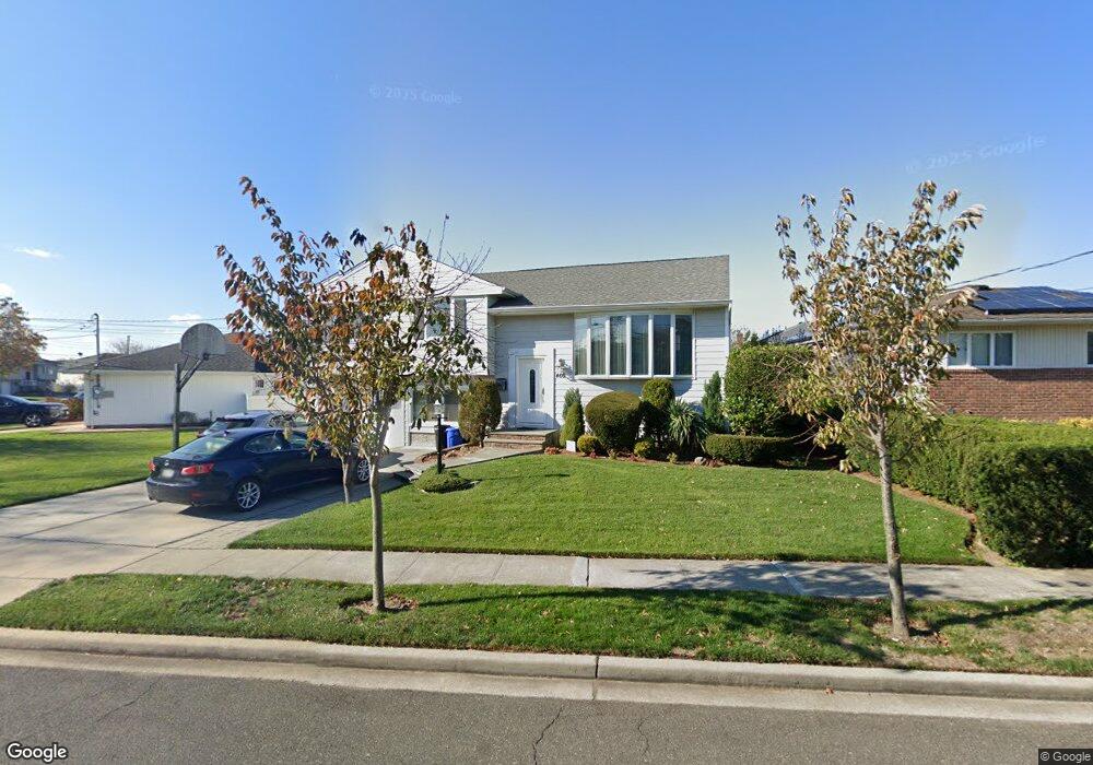
460 Bunker Dr Oceanside, NY 11572
Estimated Value: $742,153 - $826,000
Studio
2
Baths
1,334
Sq Ft
$588/Sq Ft
Est. Value
About This Home
This home is located at 460 Bunker Dr, Oceanside, NY 11572 and is currently estimated at $784,077, approximately $587 per square foot. 460 Bunker Dr is a home located in Nassau County with nearby schools including Boardman Elementary School, Oceanside Middle School, and Oceanside High School.
Create a Home Valuation Report for This Property
The Home Valuation Report is an in-depth analysis detailing your home's value as well as a comparison with similar homes in the area
Home Values in the Area
Average Home Value in this Area
Tax History
| Year | Tax Paid | Tax Assessment Tax Assessment Total Assessment is a certain percentage of the fair market value that is determined by local assessors to be the total taxable value of land and additions on the property. | Land | Improvement |
|---|---|---|---|---|
| 2025 | $12,535 | $521 | $253 | $268 |
| 2024 | $3,222 | $511 | $248 | $263 |
Source: Public Records
Map
Nearby Homes
- 512 Links Dr E
- 487 Links Dr E
- 348 Links Dr E
- 3461 Ocean Ave
- 243 Mott St
- 3452 Ocean Ave
- 3391 Fairway Rd
- 3822 Greentree Dr
- 163 Mott St
- 3454 Woodward St
- 3309 Skillman Ave
- 3881 Greentree Dr
- 3432 Bayfield Blvd
- 528 Carpenter Ave
- 3522 Frederick St
- 3483 Frederick St
- 3451 3rd St
- 3354 Knight St
- 3251 Neptune Ave
- 3930 Jane Ln
Your Personal Tour Guide
Ask me questions while you tour the home.