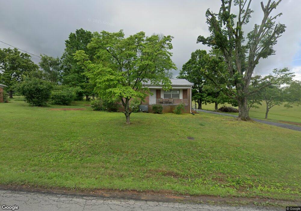
460 Carroll Rd Morristown, TN 37813
Estimated Value: $138,919 - $273,000
--
Bed
1
Bath
984
Sq Ft
$217/Sq Ft
Est. Value
About This Home
This home is located at 460 Carroll Rd, Morristown, TN 37813 and is currently estimated at $213,230, approximately $216 per square foot. 460 Carroll Rd is a home located in Hamblen County with nearby schools including John Hay Elementary School, Meadowview Middle School, and Morristown East High School.
Ownership History
Date
Name
Owned For
Owner Type
Purchase Details
Closed on
Mar 22, 1999
Sold by
Mcclanahan Charles N
Bought by
Martin Wiley
Current Estimated Value
Purchase Details
Closed on
May 22, 1997
Sold by
Phillip Lawson
Bought by
Benny Burchfield
Home Financials for this Owner
Home Financials are based on the most recent Mortgage that was taken out on this home.
Original Mortgage
$8,550
Interest Rate
8.13%
Purchase Details
Closed on
Dec 17, 1996
Sold by
Mcclanahan Charles N
Bought by
Phillip Lawson
Purchase Details
Closed on
Jul 19, 1965
Bought by
Mcclanahan Charles N and Mcclanahan Doris J
Create a Home Valuation Report for This Property
The Home Valuation Report is an in-depth analysis detailing your home's value as well as a comparison with similar homes in the area
Home Values in the Area
Average Home Value in this Area
Purchase History
| Date | Buyer | Sale Price | Title Company |
|---|---|---|---|
| Martin Wiley | $54,500 | -- | |
| Benny Burchfield | $9,500 | -- | |
| Phillip Lawson | $78,000 | -- | |
| Mcclanahan Charles N | -- | -- |
Source: Public Records
Mortgage History
| Date | Status | Borrower | Loan Amount |
|---|---|---|---|
| Previous Owner | Mcclanahan Charles N | $8,550 |
Source: Public Records
Tax History Compared to Growth
Tax History
| Year | Tax Paid | Tax Assessment Tax Assessment Total Assessment is a certain percentage of the fair market value that is determined by local assessors to be the total taxable value of land and additions on the property. | Land | Improvement |
|---|---|---|---|---|
| 2024 | $354 | $17,975 | $2,600 | $15,375 |
| 2023 | $354 | $17,975 | $0 | $0 |
| 2022 | $354 | $17,975 | $2,600 | $15,375 |
| 2021 | $354 | $17,975 | $2,600 | $15,375 |
| 2020 | $354 | $17,975 | $2,600 | $15,375 |
| 2019 | $356 | $16,700 | $2,600 | $14,100 |
| 2018 | $356 | $16,700 | $2,600 | $14,100 |
| 2017 | $356 | $16,700 | $2,600 | $14,100 |
| 2016 | $332 | $16,700 | $2,600 | $14,100 |
| 2015 | $309 | $16,700 | $2,600 | $14,100 |
| 2014 | -- | $16,700 | $2,600 | $14,100 |
| 2013 | -- | $17,900 | $0 | $0 |
Source: Public Records
Map
Nearby Homes
- 3661 Halifax Cir
- Lot 1 E Andrew Johnson Hwy
- 1689 Carroll Rd
- 3115 Eloise Dr
- 3003 Eloise Dr
- 4270 Brockland Dr
- 542 Cliff St
- 358 Dover Rd
- 512 Cliff St
- 517 Cliff St
- 1575 Thompson Creek Rd
- 0 Thompson Creek Rd
- 3113 Berna Way
- 0 Morelock Rd N
- Lot 2 Morelock Rd
- 1148 George Byrd Rd
- 4458 Brockland Dr
- 288 Fuller Estate Cir
- 4907 Barton Springs Dr
- 4091 White Wood Cir
- 464 Carroll Rd
- 445 Carroll Rd
- 437 Carroll Rd
- 3630 Halifax Cir
- 473 Carroll Rd
- 429 Carroll Rd
- 3626 Halifax Cir
- 3634 Halifax Cir
- 3620 Halifax Cir
- 481 Carroll Rd
- 425 Carroll Rd
- 3638 Halifax Cir
- 3616 Halifax Cir
- 3642 Halifax Cir
- 3610 Halifax Cir
- 493 Carroll Rd
- 3633 Halifax Cir
- 3867 Halifax Cir
- 3627 Halifax Cir
- 3637 Halifax Cir