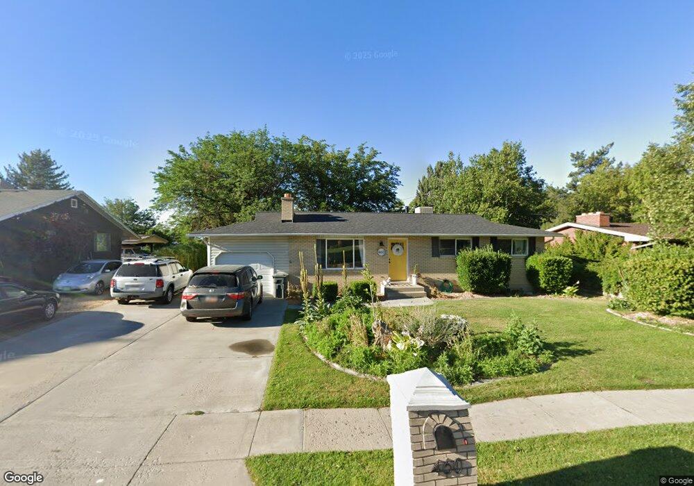
460 E 300 N American Fork, UT 84003
Estimated Value: $462,000 - $538,404
5
Beds
3
Baths
2,402
Sq Ft
$207/Sq Ft
Est. Value
About This Home
This home is located at 460 E 300 N, American Fork, UT 84003 and is currently estimated at $496,851, approximately $206 per square foot. 460 E 300 N is a home located in Utah County with nearby schools including Forbes Elementary School, American Fork Junior High School, and American Fork High School.
Ownership History
Date
Name
Owned For
Owner Type
Purchase Details
Closed on
Nov 19, 2019
Sold by
Wood Jacob Paul
Bought by
Wood Jacob Paul and Wood Kylee
Current Estimated Value
Home Financials for this Owner
Home Financials are based on the most recent Mortgage that was taken out on this home.
Original Mortgage
$264,020
Outstanding Balance
$178,051
Interest Rate
3.65%
Mortgage Type
New Conventional
Estimated Equity
$318,800
Purchase Details
Closed on
Jan 3, 2002
Sold by
Crooks Sandra L
Bought by
Crooks Sandra L
Home Financials for this Owner
Home Financials are based on the most recent Mortgage that was taken out on this home.
Original Mortgage
$55,000
Interest Rate
6.73%
Create a Home Valuation Report for This Property
The Home Valuation Report is an in-depth analysis detailing your home's value as well as a comparison with similar homes in the area
Home Values in the Area
Average Home Value in this Area
Purchase History
| Date | Buyer | Sale Price | Title Company |
|---|---|---|---|
| Wood Jacob Paul | -- | Vanguard Title Ins Agcy Llc | |
| Wood Jacob Paul | -- | North Amer Ttl Ut Union Park | |
| Crooks Sandra L | -- | Backman Stewart Title Servic |
Source: Public Records
Mortgage History
| Date | Status | Borrower | Loan Amount |
|---|---|---|---|
| Open | Wood Jacob Paul | $264,020 | |
| Previous Owner | Crooks Sandra L | $55,000 |
Source: Public Records
Tax History
| Year | Tax Paid | Tax Assessment Tax Assessment Total Assessment is a certain percentage of the fair market value that is determined by local assessors to be the total taxable value of land and additions on the property. | Land | Improvement |
|---|---|---|---|---|
| 2025 | $2,170 | $272,470 | -- | -- |
| 2024 | $2,170 | $241,120 | $0 | $0 |
| 2023 | $1,980 | $233,200 | $0 | $0 |
| 2022 | $2,169 | $252,175 | $0 | $0 |
| 2021 | $1,855 | $336,800 | $149,900 | $186,900 |
| 2020 | $1,734 | $305,300 | $133,800 | $171,500 |
| 2019 | $1,559 | $284,000 | $114,700 | $169,300 |
| 2018 | $1,438 | $250,400 | $103,200 | $147,200 |
| 2017 | $1,408 | $132,385 | $0 | $0 |
| 2016 | $1,317 | $115,005 | $0 | $0 |
| 2015 | $1,366 | $113,190 | $0 | $0 |
| 2014 | $1,241 | $101,475 | $0 | $0 |
Source: Public Records
Map
Nearby Homes
Your Personal Tour Guide
Ask me questions while you tour the home.