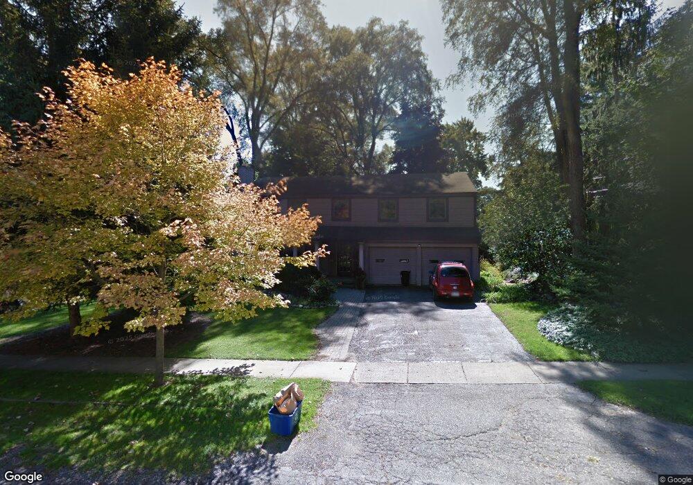
460 Henley St Unit Bldg-Unit Birmingham, MI 48009
Estimated Value: $897,000 - $1,156,000
5
Beds
4
Baths
3,256
Sq Ft
$316/Sq Ft
Est. Value
About This Home
This home is located at 460 Henley St Unit Bldg-Unit, Birmingham, MI 48009 and is currently estimated at $1,029,702, approximately $316 per square foot. 460 Henley St Unit Bldg-Unit is a home located in Oakland County with nearby schools including Harlan Elementary School, Ernest W. Seaholm High School, and Roeper City and Country Upper.
Ownership History
Date
Name
Owned For
Owner Type
Purchase Details
Closed on
Jul 20, 2018
Sold by
Root Donald T and Root Amy W
Bought by
Pisani Mark Kenneth and Pisani Connae
Current Estimated Value
Home Financials for this Owner
Home Financials are based on the most recent Mortgage that was taken out on this home.
Original Mortgage
$453,100
Outstanding Balance
$392,679
Interest Rate
4.5%
Mortgage Type
New Conventional
Estimated Equity
$637,023
Purchase Details
Closed on
Feb 9, 2015
Sold by
Root Donald T and Root Amy W
Bought by
Root Joint Trust
Create a Home Valuation Report for This Property
The Home Valuation Report is an in-depth analysis detailing your home's value as well as a comparison with similar homes in the area
Home Values in the Area
Average Home Value in this Area
Purchase History
| Date | Buyer | Sale Price | Title Company |
|---|---|---|---|
| Pisani Mark Kenneth | $569,000 | Bankers Title Settlement Ser | |
| Root Joint Trust | -- | None Available |
Source: Public Records
Mortgage History
| Date | Status | Borrower | Loan Amount |
|---|---|---|---|
| Open | Pisani Mark Kenneth | $453,100 |
Source: Public Records
Tax History Compared to Growth
Tax History
| Year | Tax Paid | Tax Assessment Tax Assessment Total Assessment is a certain percentage of the fair market value that is determined by local assessors to be the total taxable value of land and additions on the property. | Land | Improvement |
|---|---|---|---|---|
| 2024 | $12,752 | $414,080 | $0 | $0 |
| 2023 | $12,219 | $381,520 | $0 | $0 |
| 2022 | $13,102 | $358,590 | $0 | $0 |
| 2021 | $13,218 | $351,700 | $0 | $0 |
| 2020 | $13,537 | $339,540 | $0 | $0 |
| 2019 | $15,889 | $301,440 | $0 | $0 |
| 2018 | $9,142 | $298,620 | $0 | $0 |
| 2017 | $9,126 | $292,080 | $0 | $0 |
| 2016 | $9,143 | $289,620 | $0 | $0 |
| 2015 | -- | $262,880 | $0 | $0 |
| 2014 | -- | $222,830 | $0 | $0 |
| 2011 | -- | $218,560 | $0 | $0 |
Source: Public Records
Map
Nearby Homes
- 928 Poppleton St
- 654 Shepardbush St
- 680 Shepardbush St
- 1330 Oxford Rd
- 684 Madison St
- 000 N Adams Rd
- 850 N Adams Rd
- 1225 Derby Rd Unit 1
- 1333 N Adams Rd
- 524 Oakland Ave
- 1180 Manchester Rd
- 549 N Old Woodward Ave
- 369 N Old Woodward Ave Unit 301
- 369 N Old Woodward Ave Unit 307
- 369 N Old Woodward Ave Unit 206
- 369 N Old Woodward Ave Unit 207
- 5554 Pine Brooke Ct
- 485 Harmon St
- 111 Willits St Unit 403
- 667 Oak Ave
- 460 Henley St
- 510 Henley St
- 950 Oxford St
- 541 Wimbleton Dr
- 921 Warwick St
- 519 Wimbleton Dr
- 972 Oxford St
- 963 Warwick St
- 550 Henley St
- 463 Henley St
- 487 Henley St
- 511 Henley St
- 445 Henley St
- 539 Henley St
- 0 Wimbleton Dr
- 625 Wimbleton Dr Unit Bldg-Unit
- 625 Wimbleton Dr
- 1012 Oxford St
- 555 Henley St
- 971 Oxford St