Estimated Value: $259,000 - $442,000
4
Beds
2
Baths
1,654
Sq Ft
$199/Sq Ft
Est. Value
About This Home
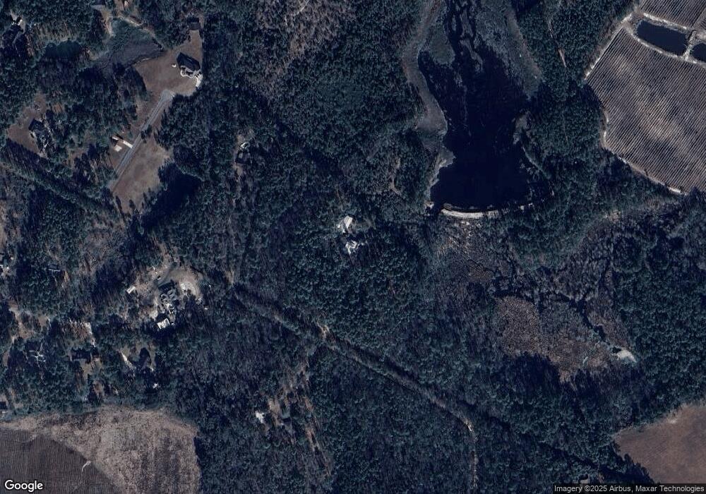
This home is located at 460 Liberty Rd, Jesup, GA 31545 and is currently estimated at $329,733, approximately $199 per square foot. 460 Liberty Rd is a home located in Wayne County with nearby schools including Odum Elementary School, Martha Puckett Middle School, and Wayne County High School.
Ownership History
Date
Name
Owned For
Owner Type
Purchase Details
Closed on
Mar 24, 2010
Sold by
Larson Steven S
Bought by
Larson Steven S and Larson Dianne D
Current Estimated Value
Purchase Details
Closed on
Jul 1, 1990
Bought by
Larson Steven S
Purchase Details
Closed on
Apr 1, 1985
Purchase Details
Closed on
Mar 1, 1982
Create a Home Valuation Report for This Property
The Home Valuation Report is an in-depth analysis detailing your home's value as well as a comparison with similar homes in the area
Purchase History
| Date | Buyer | Sale Price | Title Company |
|---|---|---|---|
| Larson Steven S | -- | -- | |
| Larson Steven S | -- | -- | |
| -- | $96,000 | -- | |
| -- | $24,000 | -- |
Source: Public Records
Tax History Compared to Growth
Tax History
| Year | Tax Paid | Tax Assessment Tax Assessment Total Assessment is a certain percentage of the fair market value that is determined by local assessors to be the total taxable value of land and additions on the property. | Land | Improvement |
|---|---|---|---|---|
| 2025 | $777 | $142,603 | $16,304 | $126,299 |
| 2024 | $777 | $80,308 | $16,304 | $64,004 |
| 2023 | $2,534 | $84,472 | $16,304 | $68,168 |
| 2022 | $1,008 | $84,472 | $16,304 | $68,168 |
| 2021 | $1,096 | $84,472 | $16,304 | $68,168 |
| 2020 | $1,138 | $80,048 | $11,880 | $68,168 |
| 2019 | $1,345 | $80,048 | $11,880 | $68,168 |
| 2018 | $1,345 | $80,048 | $11,880 | $68,168 |
| 2017 | $2,321 | $80,048 | $11,880 | $68,168 |
| 2016 | $2,246 | $80,048 | $11,880 | $68,168 |
| 2014 | $2,252 | $80,048 | $11,880 | $68,168 |
| 2013 | -- | $80,048 | $11,880 | $68,168 |
Source: Public Records
Map
Nearby Homes
- 0 Nature Unit 10662714
- 0 Nature Unit SA345804
- 0 Nature Unit 164138
- 0 Oglethorpe Rd
- 876 Hires Rd
- 6555 Lanes Bridge Rd
- 586 Caleb Cir
- 131 Mill Creek Ln
- 556 Caleb Cir
- 143 Caleb Cir
- 915 Polk Rd
- Lot 1,2,3 Rayonier Rd
- 290 Yellow Pine Rd
- 1814 Killingsworth Rd
- 200 W Melody Dr
- 186 Community Cir
- 285 Willow Rd
- 1 Palm Island Cir
- 0 Palm Island Cir
- 565 Killingsworth Rd
- 500 Liberty Rd
- 402 Liberty Rd
- 475 Liberty Rd
- 191 Stillwaters Way
- 160 Stillwaters Way
- 0 Nature Unit 18449
- 45 Liberty Rd
- 45 Liberty Rd
- 256 Eagles Wing Flight
- 2695 Oglethorpe Rd
- 123 Eagles Wing Flight
- 111 Stillwater Way
- 152 Stillwaters Way
- 111 Stillwaters Way
- 0 Still Waters Way
- 111 Still Waters Way
- 0 Eagles Wing Flight
- 94 Stillwaters Way
- Lot 34 Stillwater Way
- 94 Stillwater Way
