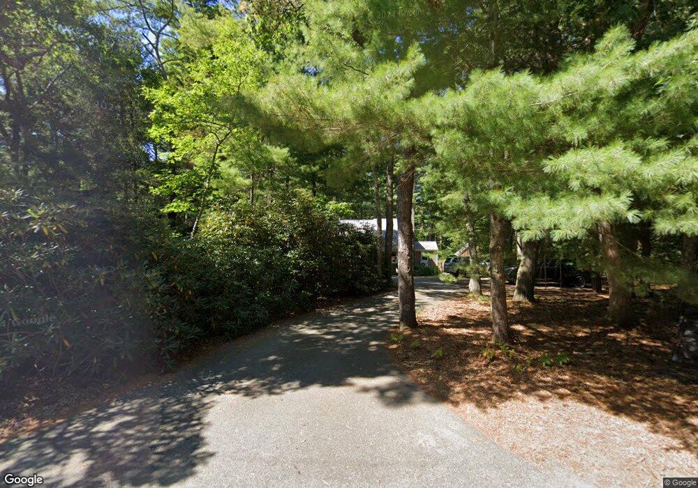
460 Locustfield Rd East Falmouth, MA 2536
Hatchville NeighborhoodEstimated Value: $407,831
1
Bed
2
Baths
2,300
Sq Ft
$177/Sq Ft
Est. Value
About This Home
This home is located at 460 Locustfield Rd, East Falmouth, MA 2536 and is currently priced at $407,831, approximately $177 per square foot. 460 Locustfield Rd is a home located in Barnstable County with nearby schools including Mullen-Hall School, Morse Pond School, and Lawrence School.
Ownership History
Date
Name
Owned For
Owner Type
Purchase Details
Closed on
May 3, 2010
Sold by
Friendship Gdn Nurse S
Bought by
A Team Prop Llc
Current Estimated Value
Purchase Details
Closed on
Aug 23, 1995
Sold by
Stalcup Marvel C and Stalcup Firuse S
Bought by
Friendship Garden Nurs
Home Financials for this Owner
Home Financials are based on the most recent Mortgage that was taken out on this home.
Original Mortgage
$105,000
Interest Rate
7.32%
Mortgage Type
Commercial
Create a Home Valuation Report for This Property
The Home Valuation Report is an in-depth analysis detailing your home's value as well as a comparison with similar homes in the area
Home Values in the Area
Average Home Value in this Area
Purchase History
| Date | Buyer | Sale Price | Title Company |
|---|---|---|---|
| A Team Prop Llc | -- | -- | |
| Friendship Garden Nurs | $113,000 | -- |
Source: Public Records
Mortgage History
| Date | Status | Borrower | Loan Amount |
|---|---|---|---|
| Previous Owner | Friendship Garden Nurs | $105,000 |
Source: Public Records
Tax History Compared to Growth
Tax History
| Year | Tax Paid | Tax Assessment Tax Assessment Total Assessment is a certain percentage of the fair market value that is determined by local assessors to be the total taxable value of land and additions on the property. | Land | Improvement |
|---|---|---|---|---|
| 2025 | $4,901 | $834,900 | $191,700 | $643,200 |
| 2024 | $4,827 | $768,700 | $181,700 | $587,000 |
| 2023 | $4,753 | $686,900 | $181,700 | $505,200 |
| 2022 | $4,385 | $544,700 | $136,900 | $407,800 |
| 2021 | $4,155 | $488,800 | $131,000 | $357,800 |
| 2020 | $4,097 | $476,900 | $119,100 | $357,800 |
| 2019 | $4,007 | $468,100 | $119,100 | $349,000 |
| 2018 | $3,883 | $451,500 | $119,100 | $332,400 |
| 2017 | $3,734 | $437,800 | $119,100 | $318,700 |
| 2016 | $3,659 | $437,200 | $119,100 | $318,100 |
| 2015 | $3,581 | $437,200 | $119,100 | $318,100 |
| 2014 | $3,386 | $415,400 | $125,300 | $290,100 |
Source: Public Records
Map
Nearby Homes
- 12 Beach Plum Path
- 4 Josiah Path
- 7 Josiah Path
- 18 Josiah Path
- 20 Josiah Path
- 21 Josiah Path
- 30 Josiah Path
- 12 Rock Hollow Dr
- 34 Mckenna Ridge Rd
- 61 Mckenna Ridge Dr
- 59 Whitecaps Dr
- 68 Deepwood Dr
- 17 Pinewood Dr
- 273 Sandwich Rd
- 149 Brick Kiln Rd
- 32 Jamie Ln
- 25 Percival Rd
- 63 Pine Valley Dr Unit 63 aka 30A
- 70 Meredith Dr
- 466 Locustfield Rd
- 474 Locustfield Rd
- 467 Locustfield Rd
- 456 Locustfield Rd
- 461 Locustfield Rd
- 471 Locustfield Rd
- 448 Locustfield Rd
- 478 Locustfield Rd
- 26 Harriette Rd
- 479 Locustfield Rd
- 442 Locustfield Rd
- 484 Locustfield Rd
- 440 Locustfield Rd
- 32 Harriette Rd
- 443 Locustfield Rd
- 15 Beach Plum Path
- 490 Locustfield Rd
- 481 Locustfield Rd
- 5 Beach Plum Path
- 481 Locustfield Rd