Estimated Value: $237,000 - $250,000
3
Beds
1
Bath
1,194
Sq Ft
$203/Sq Ft
Est. Value
About This Home
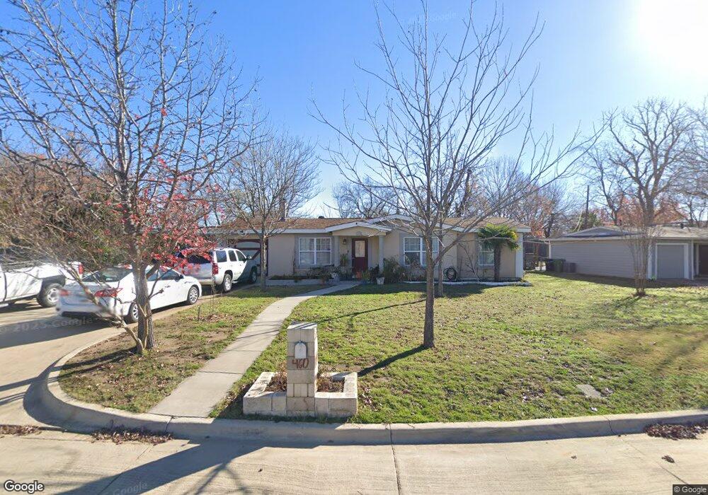
This home is located at 460 Michael Blvd, Hurst, TX 76053 and is currently estimated at $241,807, approximately $202 per square foot. 460 Michael Blvd is a home located in Tarrant County with nearby schools including Bellaire Elementary School, Hurst J High School, and L.D. Bell High School.
Ownership History
Date
Name
Owned For
Owner Type
Purchase Details
Closed on
Jun 22, 2007
Sold by
Villegas Alice
Bought by
Villegas Martin C
Current Estimated Value
Home Financials for this Owner
Home Financials are based on the most recent Mortgage that was taken out on this home.
Original Mortgage
$62,000
Interest Rate
6.41%
Mortgage Type
Credit Line Revolving
Purchase Details
Closed on
Jun 24, 1997
Sold by
Perez Marcelino and Perez Janice Kay
Bought by
Villegas Martin C and Villegas Alice
Home Financials for this Owner
Home Financials are based on the most recent Mortgage that was taken out on this home.
Original Mortgage
$45,950
Interest Rate
7.93%
Mortgage Type
Seller Take Back
Create a Home Valuation Report for This Property
The Home Valuation Report is an in-depth analysis detailing your home's value as well as a comparison with similar homes in the area
Home Values in the Area
Average Home Value in this Area
Purchase History
| Date | Buyer | Sale Price | Title Company |
|---|---|---|---|
| Villegas Martin C | -- | Fidelity National Title | |
| Villegas Martin C | -- | Safeco Land Title Co |
Source: Public Records
Mortgage History
| Date | Status | Borrower | Loan Amount |
|---|---|---|---|
| Closed | Villegas Martin C | $62,000 | |
| Previous Owner | Villegas Martin C | $45,950 |
Source: Public Records
Tax History
| Year | Tax Paid | Tax Assessment Tax Assessment Total Assessment is a certain percentage of the fair market value that is determined by local assessors to be the total taxable value of land and additions on the property. | Land | Improvement |
|---|---|---|---|---|
| 2025 | $1,870 | $216,268 | $50,000 | $166,268 |
| 2024 | $1,870 | $216,268 | $50,000 | $166,268 |
| 2023 | $2,847 | $194,803 | $35,000 | $159,803 |
| 2022 | $2,975 | $192,475 | $35,000 | $157,475 |
| 2021 | $2,833 | $171,860 | $35,000 | $136,860 |
| 2020 | $2,569 | $147,623 | $35,000 | $112,623 |
| 2019 | $2,376 | $139,123 | $35,000 | $104,123 |
| 2018 | $1,676 | $88,245 | $15,000 | $73,245 |
| 2017 | $2,030 | $101,499 | $15,000 | $86,499 |
| 2016 | $1,846 | $89,111 | $15,000 | $74,111 |
| 2015 | $1,383 | $66,300 | $15,000 | $51,300 |
| 2014 | $1,383 | $66,300 | $15,000 | $51,300 |
Source: Public Records
Map
Nearby Homes
- 42 Page St
- 413 Wanda Way
- 705 Timbercreek Dr
- 308 Wanda Way
- 740 Shady Ln
- 212 E Ellen Ave
- 312 E Ellen Ave
- 1302 Woodridge Cir
- 260 Corinna Ct
- 4106 Hollow Oak Dr
- 108 Donald Dr
- 552 Norwood Dr
- 205 Corinna Ct
- 47 Donald Ct
- 408 Harrison Ln
- 609 Norwood Dr
- 1309 Driftwood Dr
- 803 Glenda Dr
- 802 Brown Trail
- 701 Harrison Ln
- 452 Michael Blvd
- 504 Greenway Dr
- 508 Greenway Dr
- 448 Michael Blvd
- 503 Brookfield Dr
- 507 Brookfield Dr
- 457 Michael Blvd
- 512 Greenway Dr
- 453 Michael Blvd
- 511 Brookfield Dr
- 449 Michael Blvd
- 501 Greenway Dr
- 600 Greenway Dr
- 503 Greenway Dr
- 445 Michael Blvd
- 601 Brookfield Dr
- 507 Greenway Dr
- 436 Michael Blvd
- 604 Greenway Dr
- 511 Greenway Dr
Your Personal Tour Guide
Ask me questions while you tour the home.