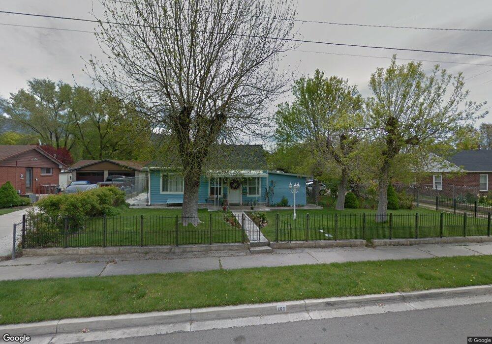
460 N 100 E American Fork, UT 84003
Estimated Value: $407,254 - $467,000
2
Beds
1
Bath
1,197
Sq Ft
$363/Sq Ft
Est. Value
About This Home
This home is located at 460 N 100 E, American Fork, UT 84003 and is currently estimated at $434,564, approximately $363 per square foot. 460 N 100 E is a home located in Utah County with nearby schools including Forbes Elementary School, American Fork Junior High School, and American Fork High School.
Ownership History
Date
Name
Owned For
Owner Type
Purchase Details
Closed on
Dec 8, 2020
Sold by
Morales Teresa Ruelas and Estate Of Alfredo Ruelas Garib
Bought by
Morales Teresa Ruelas
Current Estimated Value
Purchase Details
Closed on
Sep 18, 2000
Sold by
Schultz Douglas R
Bought by
Ruelas Alfredo
Home Financials for this Owner
Home Financials are based on the most recent Mortgage that was taken out on this home.
Original Mortgage
$112,572
Outstanding Balance
$41,058
Interest Rate
8.11%
Mortgage Type
FHA
Estimated Equity
$393,506
Purchase Details
Closed on
Oct 28, 1997
Sold by
Matterfis Matthew J and Matterfis Julie A
Bought by
Schultz Douglas R
Home Financials for this Owner
Home Financials are based on the most recent Mortgage that was taken out on this home.
Original Mortgage
$96,550
Interest Rate
7.36%
Mortgage Type
FHA
Create a Home Valuation Report for This Property
The Home Valuation Report is an in-depth analysis detailing your home's value as well as a comparison with similar homes in the area
Home Values in the Area
Average Home Value in this Area
Purchase History
| Date | Buyer | Sale Price | Title Company |
|---|---|---|---|
| Morales Teresa Ruelas | -- | None Available | |
| Ruelas Alfredo | -- | -- | |
| Schultz Douglas R | -- | -- |
Source: Public Records
Mortgage History
| Date | Status | Borrower | Loan Amount |
|---|---|---|---|
| Open | Ruelas Alfredo | $112,572 | |
| Previous Owner | Schultz Douglas R | $96,550 |
Source: Public Records
Tax History
| Year | Tax Paid | Tax Assessment Tax Assessment Total Assessment is a certain percentage of the fair market value that is determined by local assessors to be the total taxable value of land and additions on the property. | Land | Improvement |
|---|---|---|---|---|
| 2025 | $1,733 | $201,685 | -- | -- |
| 2024 | $1,733 | $192,555 | $0 | $0 |
| 2023 | $1,638 | $192,995 | $0 | $0 |
| 2022 | $1,862 | $216,425 | $0 | $0 |
| 2021 | $1,584 | $287,700 | $155,600 | $132,100 |
| 2020 | $1,477 | $260,100 | $138,900 | $121,200 |
| 2019 | $1,329 | $242,000 | $131,000 | $111,000 |
| 2018 | $1,238 | $215,600 | $119,100 | $96,500 |
| 2017 | $1,164 | $109,450 | $0 | $0 |
| 2016 | $1,116 | $97,460 | $0 | $0 |
| 2015 | $1,132 | $93,830 | $0 | $0 |
| 2014 | $1,090 | $89,100 | $0 | $0 |
Source: Public Records
Map
Nearby Homes
- 807 N 150 E
- 783 N 150 E
- 793 N 150 E
- 369 E 500 N
- 621 N 100 W
- 183 E 760 St N
- 780 N 100 E
- 148 N 100 E
- 691 N 400 E Unit A & B Units
- 691 N 400 E Unit A & B
- 691 N 400 E
- 822 N 150 E Unit 5
- 1082 N 350 E
- 410 N 500 E
- 350 N 500 E
- 532 E 500 N
- 4650 W Magnolia Drive Dr Unit 8
- 10238 N 6530 W Unit 15
- 941 E S Ellens St Lot 3 St N Unit LOT 3
- 5277 N 11200 W Unit 4
Your Personal Tour Guide
Ask me questions while you tour the home.