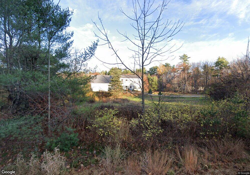
460 Parker Farm Rd Buxton, ME 04093
Estimated Value: $513,000 - $576,000
3
Beds
2
Baths
1,904
Sq Ft
$284/Sq Ft
Est. Value
About This Home
This home is located at 460 Parker Farm Rd, Buxton, ME 04093 and is currently estimated at $540,860, approximately $284 per square foot. 460 Parker Farm Rd is a home located in York County with nearby schools including Bonny Eagle High School.
Ownership History
Date
Name
Owned For
Owner Type
Purchase Details
Closed on
Dec 8, 2008
Sold by
Wildes Lawrence E and Wildes Robin L
Bought by
Brunk Gregory J and Brunk Annah J G
Current Estimated Value
Home Financials for this Owner
Home Financials are based on the most recent Mortgage that was taken out on this home.
Original Mortgage
$172,161
Outstanding Balance
$117,393
Interest Rate
6.11%
Mortgage Type
FHA
Estimated Equity
$423,467
Purchase Details
Closed on
Jan 7, 2005
Sold by
Wildes Robin L and Wildes Lawrence E
Bought by
Wildes Robin L and Wildes Lawrence E
Create a Home Valuation Report for This Property
The Home Valuation Report is an in-depth analysis detailing your home's value as well as a comparison with similar homes in the area
Home Values in the Area
Average Home Value in this Area
Purchase History
| Date | Buyer | Sale Price | Title Company |
|---|---|---|---|
| Brunk Gregory J | -- | -- | |
| Wildes Robin L | -- | -- |
Source: Public Records
Mortgage History
| Date | Status | Borrower | Loan Amount |
|---|---|---|---|
| Open | Brunk Gregory J | $172,161 |
Source: Public Records
Tax History Compared to Growth
Tax History
| Year | Tax Paid | Tax Assessment Tax Assessment Total Assessment is a certain percentage of the fair market value that is determined by local assessors to be the total taxable value of land and additions on the property. | Land | Improvement |
|---|---|---|---|---|
| 2024 | $4,458 | $405,600 | $134,200 | $271,400 |
| 2023 | $4,230 | $405,600 | $134,200 | $271,400 |
| 2022 | $4,185 | $408,700 | $134,200 | $274,500 |
| 2021 | $4,185 | $289,400 | $72,200 | $217,200 |
| 2020 | $4,131 | $283,300 | $72,200 | $211,100 |
| 2019 | $3,843 | $259,300 | $72,200 | $187,100 |
| 2018 | $3,255 | $230,200 | $72,200 | $158,000 |
| 2017 | $3,131 | $230,200 | $72,200 | $158,000 |
| 2016 | $3,004 | $230,200 | $72,200 | $158,000 |
| 2015 | $2,981 | $230,200 | $72,200 | $158,000 |
| 2014 | $2,924 | $230,200 | $72,200 | $158,000 |
| 2013 | $2,878 | $230,200 | $72,200 | $158,000 |
Source: Public Records
Map
Nearby Homes
- Lot 2 Commerce Way
- 47 Proprietors Rd
- 17 Fox Track
- 30 Joan Dixon Way
- 95 Skip Rd
- 125 Old Thompson Rd
- 62 Emery Cir
- 580 Bonny Eagle Rd
- 866 Parker Farm Rd Unit A
- 866 Parker Farm Rd Unit B
- 135 Bonny Eagle Rd
- 4 Pelletier Dr
- 23 Bonny Eagle Rd
- 541 Cape Rd
- 2 Bonny Eagle Rd
- 7 Pelletier Dr
- Lot 8 Pelletier Dr
- Lot 10 Pelletier Dr
- 42 Brandons Way
- 14 Patrick Dr
- 448 Parker Farm Rd
- 440 Parker Farm Rd
- 461 Parker Farm Rd
- 447 Parker Farm Rd
- 7 Rego Dr
- 34 Rego Dr
- 37 Rego Dr
- 30 Rego Dr
- 39 Rego Dr
- 473 Parker Farm Rd
- 33 Rego Dr
- 426 Parker Farm Rd
- 429 Parker Farm Rd
- 0 Chicopee
- 00 Chicopee Rd
- 6 Acres Chicopee Rd
- Lot 1 Chicopee
- 3 Acres Chicopee Rd
- 19 Old Standish Rd
- 0 Sheba Ln