460 Ralph Phelps Dr West Fork, AR 72774
Estimated Value: $440,000 - $542,650
4
Beds
3
Baths
3,322
Sq Ft
$146/Sq Ft
Est. Value
About This Home
This home is located at 460 Ralph Phelps Dr, West Fork, AR 72774 and is currently estimated at $486,163, approximately $146 per square foot. 460 Ralph Phelps Dr is a home located in Washington County with nearby schools including Greenland Middle School, Greenland Elementary School, and Greenland High School.
Create a Home Valuation Report for This Property
The Home Valuation Report is an in-depth analysis detailing your home's value as well as a comparison with similar homes in the area
Home Values in the Area
Average Home Value in this Area
Tax History
| Year | Tax Paid | Tax Assessment Tax Assessment Total Assessment is a certain percentage of the fair market value that is determined by local assessors to be the total taxable value of land and additions on the property. | Land | Improvement |
|---|---|---|---|---|
| 2023 | $2,322 | $92,160 | $15,400 | $76,760 |
| 2022 | $2,291 | $61,480 | $8,800 | $52,680 |
| 2021 | $2,177 | $61,480 | $8,800 | $52,680 |
| 2020 | $2,063 | $61,480 | $8,800 | $52,680 |
| 2019 | $1,950 | $49,450 | $7,200 | $42,250 |
| 2018 | $1,975 | $49,450 | $7,200 | $42,250 |
| 2017 | $1,896 | $49,450 | $7,200 | $42,250 |
| 2016 | $1,849 | $49,450 | $7,200 | $42,250 |
| 2015 | $1,703 | $49,450 | $7,200 | $42,250 |
| 2014 | $1,586 | $42,560 | $8,800 | $33,760 |
Source: Public Records
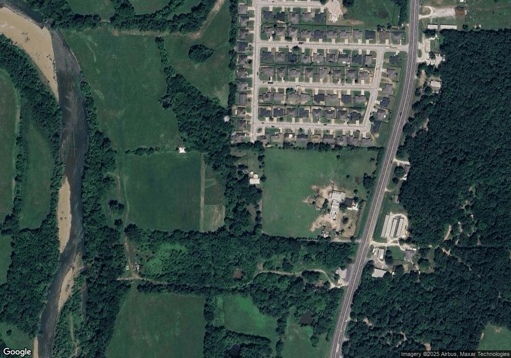
Map
Nearby Homes
- 443 Buckboard Rd
- 1329 Homestead Ln
- 12825 E Wallin Mountain Rd
- 0 W Carrol St
- 657 W Carrol St
- TBD Butterfield Ave
- 0 Path Trail Rd
- 215/215B/219 S Peerson St
- 340 W Circle Dr
- 000 W Circle Dr
- 14630 E Wallin Mountain Rd
- 11322 SW Campbell Rd
- 451 W Horn St
- 415 & 421 W Napier Dr
- 12145 Flowers Rd
- 10845 SW Campbell Rd
- 656 W Foothills Dr
- 10982 Tony Mountain Rd
- N Letitia Ave
- 11498 Tony Mountain Rd
- 1365 Homestead Ln
- 447 Buckboard Rd
- 461 Buckboard Rd
- 1353 Homestead Ln
- 475 Buckboard
- 475 Buckboard Rd
- 522 Ralph Phelps Dr
- 522 Ralph Phelps Dr
- 442 Buckboard Rd
- 1341 Homestead Ln
- 448 Buckboard Rd
- 487 Buckboard Rd
- 0 Buckboard Rd
- 462 Buckboard Rd
- 476 Buckboard Rd
- 441 Harness Ln
- 499 Buckboard Rd
- 449 Harness Ln
- 463 Harness Ln
- 1317 Homestead Ln
Your Personal Tour Guide
Ask me questions while you tour the home.