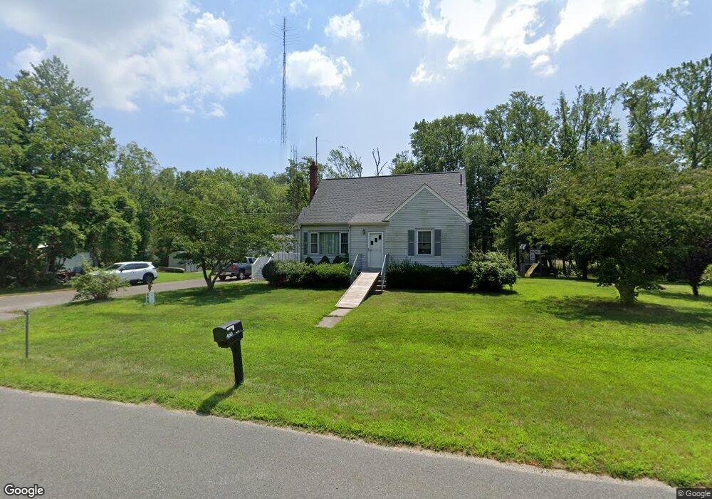
460 Route 49 Woodbine, NJ 08270
Estimated Value: $365,531 - $500,000
--
Bed
--
Bath
1,532
Sq Ft
$277/Sq Ft
Est. Value
About This Home
This home is located at 460 Route 49, Woodbine, NJ 08270 and is currently estimated at $424,883, approximately $277 per square foot. 460 Route 49 is a home located in Cape May County with nearby schools including Upper Township Primary School, Upper Township Elementary School, and Upper Township Middle School.
Ownership History
Date
Name
Owned For
Owner Type
Purchase Details
Closed on
Aug 17, 2007
Sold by
Dagostino Alfonso and Agostino John D
Bought by
Clouting Robert S
Current Estimated Value
Home Financials for this Owner
Home Financials are based on the most recent Mortgage that was taken out on this home.
Original Mortgage
$200,000
Outstanding Balance
$127,404
Interest Rate
6.78%
Mortgage Type
Purchase Money Mortgage
Estimated Equity
$297,479
Purchase Details
Closed on
Aug 27, 1990
Sold by
Dagostino Alfonso F and Dagostino Emogene
Bought by
Dagostino Alfonso F and Dagostino Emogene
Create a Home Valuation Report for This Property
The Home Valuation Report is an in-depth analysis detailing your home's value as well as a comparison with similar homes in the area
Home Values in the Area
Average Home Value in this Area
Purchase History
| Date | Buyer | Sale Price | Title Company |
|---|---|---|---|
| Clouting Robert S | $250,000 | The Title Company Of Jersey | |
| Dagostino Alfonso F | -- | -- |
Source: Public Records
Mortgage History
| Date | Status | Borrower | Loan Amount |
|---|---|---|---|
| Open | Clouting Robert S | $200,000 |
Source: Public Records
Tax History Compared to Growth
Tax History
| Year | Tax Paid | Tax Assessment Tax Assessment Total Assessment is a certain percentage of the fair market value that is determined by local assessors to be the total taxable value of land and additions on the property. | Land | Improvement |
|---|---|---|---|---|
| 2025 | $6,055 | $257,100 | $141,100 | $116,000 |
| 2024 | $6,055 | $257,100 | $141,100 | $116,000 |
| 2023 | $5,767 | $257,100 | $141,100 | $116,000 |
| 2022 | $5,589 | $257,100 | $141,100 | $116,000 |
| 2021 | $3,999 | $257,100 | $141,100 | $116,000 |
| 2020 | $5,201 | $257,100 | $141,100 | $116,000 |
| 2019 | $5,083 | $257,100 | $141,100 | $116,000 |
| 2018 | $4,954 | $257,100 | $141,100 | $116,000 |
| 2017 | $4,893 | $257,100 | $141,100 | $116,000 |
| 2016 | $4,508 | $233,100 | $141,100 | $92,000 |
| 2015 | $4,375 | $233,100 | $141,100 | $92,000 |
| 2014 | $4,364 | $285,800 | $194,400 | $91,400 |
Source: Public Records
Map
Nearby Homes
- 465 Route 49 Unit 63
- 465 Route 49 Unit 118
- 000 New Jersey 49
- 120 W Poplar Ave
- 116 Head of River Rd
- 120 Head of River Rd
- 126 Buck Hill Rd
- 104 Head of River Rd
- 104 Church Rd
- 27 Cedar Ave
- 2334 Route 50
- 115 Rte 50
- 50 School House Ln
- 238 New Jersey 50
- 101 Whitman Ln
- 106 New Jersey 49
- 17 Deerfield Trail
- 8 Deerfield Trail
- 476 Route 49
- 486 Route 49
- 465 Route 49
- 465 Route 49 Unit 94
- 465 Route 49 Unit 117
- 465 Route 49 Unit 125
- 465 Route 49 Unit 13
- 465 Route 49 Unit 44
- 490 Route 49
- 465 New Jersey 49 Unit 97
- 465 New Jersey 49 Unit 125
- 465 New Jersey 49
- 453 Route 49
- 323 Route 49
- 424 Route 49
- 420 New Jersey 49
- 420 Route 49
- 439 Route 49
- 421 Route 49
- 412 New Jersey 49