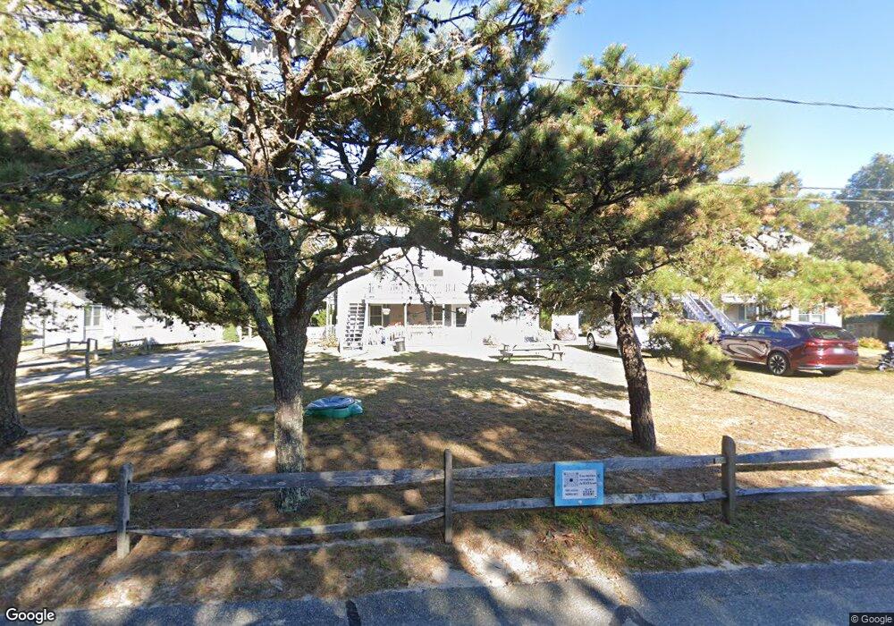
460 Sea St Unit 3B Hyannis, MA 02601
Estimated Value: $565,190 - $683,000
3
Beds
2
Baths
988
Sq Ft
$632/Sq Ft
Est. Value
About This Home
This home is located at 460 Sea St Unit 3B, Hyannis, MA 02601 and is currently estimated at $624,548, approximately $632 per square foot. 460 Sea St Unit 3B is a home located in Barnstable County with nearby schools including Hyannis West Elementary School, Barnstable United Elementary School, and Barnstable Intermediate School.
Ownership History
Date
Name
Owned For
Owner Type
Purchase Details
Closed on
Sep 5, 2025
Sold by
Fogelson Frederick S and Fogelson Sandra K
Bought by
Loux Michael J and Loux Mary W
Current Estimated Value
Home Financials for this Owner
Home Financials are based on the most recent Mortgage that was taken out on this home.
Original Mortgage
$363,750
Outstanding Balance
$363,750
Interest Rate
6.74%
Mortgage Type
New Conventional
Estimated Equity
$260,798
Purchase Details
Closed on
Apr 6, 1993
Sold by
Gordon Scott
Bought by
Fogelson Frederick S and Fogelson Sandra K
Create a Home Valuation Report for This Property
The Home Valuation Report is an in-depth analysis detailing your home's value as well as a comparison with similar homes in the area
Home Values in the Area
Average Home Value in this Area
Purchase History
| Date | Buyer | Sale Price | Title Company |
|---|---|---|---|
| Loux Michael J | $485,000 | -- | |
| Loux Michael J | $485,000 | -- | |
| Fogelson Frederick S | $184,000 | -- | |
| Fogelson Frederick S | $184,000 | -- |
Source: Public Records
Mortgage History
| Date | Status | Borrower | Loan Amount |
|---|---|---|---|
| Open | Loux Michael J | $363,750 | |
| Closed | Loux Michael J | $363,750 |
Source: Public Records
Tax History Compared to Growth
Tax History
| Year | Tax Paid | Tax Assessment Tax Assessment Total Assessment is a certain percentage of the fair market value that is determined by local assessors to be the total taxable value of land and additions on the property. | Land | Improvement |
|---|---|---|---|---|
| 2025 | $5,479 | $591,000 | $0 | $591,000 |
| 2024 | $5,064 | $559,600 | $0 | $559,600 |
| 2023 | $4,408 | $460,600 | $0 | $460,600 |
| 2022 | $3,375 | $291,700 | $0 | $291,700 |
| 2021 | $3,474 | $291,700 | $0 | $291,700 |
| 2020 | $3,378 | $274,000 | $0 | $274,000 |
| 2019 | $3,492 | $277,600 | $0 | $277,600 |
| 2018 | $3,282 | $266,800 | $0 | $266,800 |
| 2017 | $3,039 | $253,500 | $0 | $253,500 |
| 2016 | $2,974 | $253,500 | $0 | $253,500 |
| 2015 | $2,989 | $258,300 | $0 | $258,300 |
Source: Public Records
Map
Nearby Homes
- 281 Gosnold St
- 342 Sea St
- 230 Gosnold St Unit 11A-11B-11C
- 230 Gosnold St Unit 11ABC
- 49 Snow Creek Dr
- 500 Ocean St Unit 147
- 500 Ocean St Unit 152
- 20 Stanley Place
- 50 Redwood Ln
- 172 Irving Ave
- 381 Ocean St Unit 1
- 155 Irving Ave
- 151 & 155 Irving Ave
- 6 Harrington Way
- 93 Sea St
- 113 Briarwood Ave
- 35 Grayton Ave
- 16 Iyanough Rd
- 287 Ocean St Unit C2
- 287 Ocean St Unit 2 BLDG C
- 460 Sea St Unit 3A
- 14 Lighthouse Ln
- 470 Sea St Unit 2A
- 25 Lighthouse Ln
- 20 Lighthouse Ln
- 478 Sea St
- 1 Lighthouse Ln
- 47 Lighthouse Ln
- 432 Sea St Unit 6B
- 432 Sea St Unit 9C
- 432 Sea St Unit 9B
- 432 Sea St Unit 9A
- 432 Sea St Unit 8D
- 432 Sea St Unit 8C
- 432 Sea St Unit 8B
- 432 Sea St Unit 8A
- 432 Sea St Unit 7B
- 432 Sea St Unit 7A
- 432 Sea St Unit 6A
- 432 Sea St Unit 5B