Estimated Value: $138,000 - $292,000
Studio
2
Baths
1,650
Sq Ft
$133/Sq Ft
Est. Value
About This Home
This home is located at 460 Seaboard Rd, Jesup, GA 31545 and is currently estimated at $219,213, approximately $132 per square foot. 460 Seaboard Rd is a home located in Wayne County with nearby schools including Odum Elementary School, Martha Puckett Middle School, and Wayne County High School.
Ownership History
Date
Name
Owned For
Owner Type
Purchase Details
Closed on
Dec 21, 2011
Sold by
Springleaf Financial Services Inc
Bought by
Crews Sandy
Current Estimated Value
Purchase Details
Closed on
Jun 1, 2004
Sold by
Graw James Frank and Graw Lavonna G
Bought by
Graw James Frank
Purchase Details
Closed on
Jan 1, 1995
Bought by
Graw James Frank and Graw Lavonna G
Purchase Details
Closed on
Jul 1, 1994
Purchase Details
Closed on
May 1, 1989
Purchase Details
Closed on
Oct 1, 1974
Create a Home Valuation Report for This Property
The Home Valuation Report is an in-depth analysis detailing your home's value as well as a comparison with similar homes in the area
Purchase History
| Date | Buyer | Sale Price | Title Company |
|---|---|---|---|
| Crews Sandy | $95,000 | -- | |
| Graw James Frank | -- | -- | |
| Graw James Frank | $83,000 | -- | |
| -- | $62,000 | -- | |
| -- | $11,600 | -- | |
| -- | -- | -- |
Source: Public Records
Tax History
| Year | Tax Paid | Tax Assessment Tax Assessment Total Assessment is a certain percentage of the fair market value that is determined by local assessors to be the total taxable value of land and additions on the property. | Land | Improvement |
|---|---|---|---|---|
| 2025 | $868 | $71,823 | $1,680 | $70,143 |
| 2024 | $1,709 | $69,522 | $1,680 | $67,842 |
| 2023 | $1,839 | $61,302 | $1,680 | $59,622 |
| 2022 | $1,410 | $49,795 | $1,680 | $48,115 |
| 2021 | $1,355 | $45,179 | $1,680 | $43,499 |
| 2020 | $1,443 | $46,367 | $2,868 | $43,499 |
| 2019 | $1,486 | $46,367 | $2,868 | $43,499 |
| 2018 | $1,486 | $46,367 | $2,868 | $43,499 |
| 2017 | $1,239 | $46,367 | $2,868 | $43,499 |
| 2016 | $1,238 | $46,367 | $2,868 | $43,499 |
| 2014 | $1,241 | $46,367 | $2,868 | $43,499 |
| 2013 | -- | $46,367 | $2,868 | $43,499 |
Source: Public Records
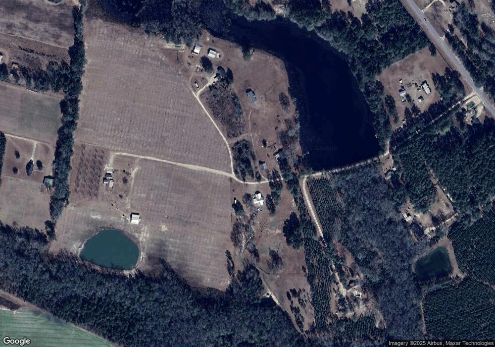
Map
Nearby Homes
- 2936 Madray Springs Rd
- 17614 Lanes Bridge Rd
- 128 Three C Rd
- 272 Three C Rd
- 300 Three C Rd
- 192 Hummingbird Ln
- 11038 Lanes Bridge Rd
- 92 Sparrow Ln
- 285 Willow Rd
- 531 Gene Bland Rd
- 840 Gene Bland Rd
- 764 Gene Bland Rd
- Tract 1-C Oglethorpe Rd
- Tract 3 Oglethorpe Rd
- 0 Nature Unit 10662714
- 0 Nature Unit SA345804
- 0 Nature Unit 164138
- 858 Hoke Ogden Rd
- 1670 Beaver Dam Rd
- 569 Liberty Rd
- 296 Seaboard Rd
- 262 Seaboard Rd
- 329 Seaboard Rd
- 311 Seaboard Rd
- 9145 Lanes Bridge Rd
- 145 Seaboard Rd
- 2470 Madray Springs Rd
- 64 Seaboard Rd
- 30 Eva Madray Rd
- 9044 Lanes Bridge Rd
- 251 Seaboard Rd
- 107 Seaboard Rd
- 8935 Lanes Bridge Rd
- 9414 Lanes Bridge Rd
- 130 Eva Madray Rd
- 670 Dent Rd
- 8940 Lanes Bridge Rd
- 2656 Madray Springs Rd
- 8860 Lanes Bridge Rd
- 9514 Lanes Bridge Rd
Your Personal Tour Guide
Ask me questions while you tour the home.