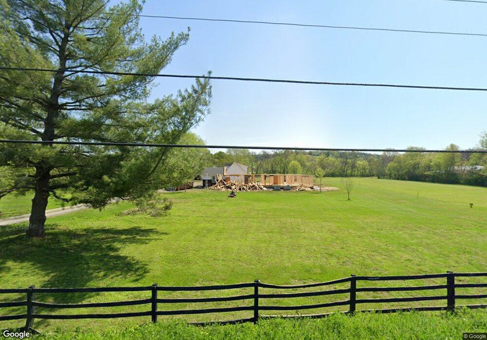
460 Upper Station Camp Creek Rd Gallatin, TN 37066
Estimated Value: $649,000 - $862,000
4
Beds
3
Baths
3,185
Sq Ft
$226/Sq Ft
Est. Value
About This Home
This home is located at 460 Upper Station Camp Creek Rd, Gallatin, TN 37066 and is currently estimated at $718,670, approximately $225 per square foot. 460 Upper Station Camp Creek Rd is a home located in Sumner County with nearby schools including Station Camp High School.
Ownership History
Date
Name
Owned For
Owner Type
Purchase Details
Closed on
Aug 4, 2021
Sold by
Osaile Kenneth E and Osaile Patricia H
Bought by
Stevens Jeffrey and Stevens Julie
Current Estimated Value
Home Financials for this Owner
Home Financials are based on the most recent Mortgage that was taken out on this home.
Original Mortgage
$399,920
Outstanding Balance
$364,193
Interest Rate
3%
Mortgage Type
New Conventional
Estimated Equity
$354,477
Purchase Details
Closed on
Sep 21, 2005
Sold by
Osaile Kenneth E and Osaile Patricia H
Bought by
Osaile Kenneth E and Osaile Patricia H
Create a Home Valuation Report for This Property
The Home Valuation Report is an in-depth analysis detailing your home's value as well as a comparison with similar homes in the area
Home Values in the Area
Average Home Value in this Area
Purchase History
| Date | Buyer | Sale Price | Title Company |
|---|---|---|---|
| Stevens Jeffrey | $499,900 | Tennessee Title Services Llc | |
| Osaile Kenneth E | -- | -- | |
| Osaile Kenneth E | -- | -- |
Source: Public Records
Mortgage History
| Date | Status | Borrower | Loan Amount |
|---|---|---|---|
| Open | Stevens Jeffrey | $399,920 |
Source: Public Records
Tax History Compared to Growth
Tax History
| Year | Tax Paid | Tax Assessment Tax Assessment Total Assessment is a certain percentage of the fair market value that is determined by local assessors to be the total taxable value of land and additions on the property. | Land | Improvement |
|---|---|---|---|---|
| 2024 | $2,552 | $179,625 | $44,075 | $135,550 |
| 2023 | $770 | $34,175 | $27,650 | $6,525 |
| 2022 | $1,436 | $34,175 | $27,650 | $6,525 |
| 2021 | $1,436 | $63,475 | $27,650 | $35,825 |
| 2020 | $1,436 | $63,475 | $27,650 | $35,825 |
| 2019 | $1,436 | $0 | $0 | $0 |
| 2018 | $991 | $0 | $0 | $0 |
| 2017 | $991 | $0 | $0 | $0 |
| 2016 | $991 | $0 | $0 | $0 |
| 2015 | -- | $0 | $0 | $0 |
| 2014 | -- | $0 | $0 | $0 |
Source: Public Records
Map
Nearby Homes
- 1935 Liberty Ln
- 402 Upper Station Camp Crk Rd
- 2039 Liberty Ln
- 315 Gulfstream Dr
- 170 Upper Station Camp Crk Rd
- 149 Upper Station Camp Crk Rd
- 101 Santa Rosa Dr
- 319 Cloverbrook Way
- 249 Cavalcade Loop
- 360 Turfway Park
- The Ridgeport Plan at Carellton
- 137 Cavalcade Loop
- 172 Cavalcade Loop
- 337 Carellton Dr
- 2436 Long Hollow Pike
- 1019 Lacebark Ln
- 1033 Merrick Rd
- 308 Cheval Dr
- 427 Deveron Dr
- 1080 Abberley Cir
- 460 Upper Station Camp Crk Rd
- 436 Upper Station Camp Crk Rd
- 455 Upper Station Camp Crk Rd
- 431 Upper Station Camp Crk Rd
- 1914 Liberty Ln
- 1918 Liberty Ln
- 428 Upper Station Camp Crk Rd
- 1910 Liberty Ln
- 475 Upper Station Camp Crk Rd
- 414 Upper Station Camp Creek Rd
- 1890 Liberty Ln
- 2029 Liberty Ln
- 2025 Liberty Ln
- 1880 Liberty Ln
- 2035 Liberty Ln Unit 3
- 2031 Liberty Ln
- 341 Upper Station Camp Crk Rd
- 533 Upper Station Camp Crk Rd
- 2041 Liberty Ln
- 1858 Liberty Ln