4600 Huntington Dr Unit 11 Brighton, MI 48116
Estimated Value: $640,783 - $691,000
4
Beds
3
Baths
2,537
Sq Ft
$264/Sq Ft
Est. Value
About This Home
This home is located at 4600 Huntington Dr Unit 11, Brighton, MI 48116 and is currently estimated at $669,696, approximately $263 per square foot. 4600 Huntington Dr Unit 11 is a home located in Livingston County with nearby schools including Hornung Elementary School, Scranton Middle School, and Brighton High School.
Ownership History
Date
Name
Owned For
Owner Type
Purchase Details
Closed on
Apr 6, 2005
Sold by
Mclean Jack P and Mclean Katherine E
Bought by
Mclean Living Trust
Current Estimated Value
Home Financials for this Owner
Home Financials are based on the most recent Mortgage that was taken out on this home.
Original Mortgage
$100,000
Interest Rate
5.89%
Mortgage Type
Credit Line Revolving
Purchase Details
Closed on
Jan 25, 2002
Sold by
Mclean Jack P and Mclean Katherine E
Bought by
Mclean Living Trust
Purchase Details
Closed on
Sep 10, 2001
Sold by
Trail David K and Trail Alicia Kay
Bought by
Mclean Jack P and Mclean Katherine E
Purchase Details
Closed on
Feb 26, 1993
Sold by
Oak Pointe Dev Co
Bought by
Country Club Manors Of Oak Pointe Ltd
Create a Home Valuation Report for This Property
The Home Valuation Report is an in-depth analysis detailing your home's value as well as a comparison with similar homes in the area
Home Values in the Area
Average Home Value in this Area
Purchase History
| Date | Buyer | Sale Price | Title Company |
|---|---|---|---|
| Mclean Living Trust | -- | -- | |
| Mclean Jack P | -- | -- | |
| Mclean Living Trust | -- | -- | |
| Mclean Jack P | $345,000 | Title America | |
| Country Club Manors Of Oak Pointe Ltd | -- | -- |
Source: Public Records
Mortgage History
| Date | Status | Borrower | Loan Amount |
|---|---|---|---|
| Closed | Mclean Jack P | $100,000 |
Source: Public Records
Tax History Compared to Growth
Tax History
| Year | Tax Paid | Tax Assessment Tax Assessment Total Assessment is a certain percentage of the fair market value that is determined by local assessors to be the total taxable value of land and additions on the property. | Land | Improvement |
|---|---|---|---|---|
| 2025 | $4,792 | $279,000 | $0 | $0 |
| 2024 | $2,638 | $269,600 | $0 | $0 |
| 2023 | $2,521 | $259,900 | $0 | $0 |
| 2022 | $4,473 | $218,600 | $0 | $0 |
| 2021 | $4,285 | $229,100 | $0 | $0 |
| 2020 | $4,350 | $223,600 | $0 | $0 |
| 2019 | $4,285 | $218,600 | $0 | $0 |
| 2018 | $4,040 | $202,300 | $0 | $0 |
| 2017 | $3,961 | $202,300 | $0 | $0 |
| 2016 | $3,933 | $199,700 | $0 | $0 |
| 2014 | $3,415 | $158,700 | $0 | $0 |
| 2012 | $3,415 | $153,200 | $0 | $0 |
Source: Public Records
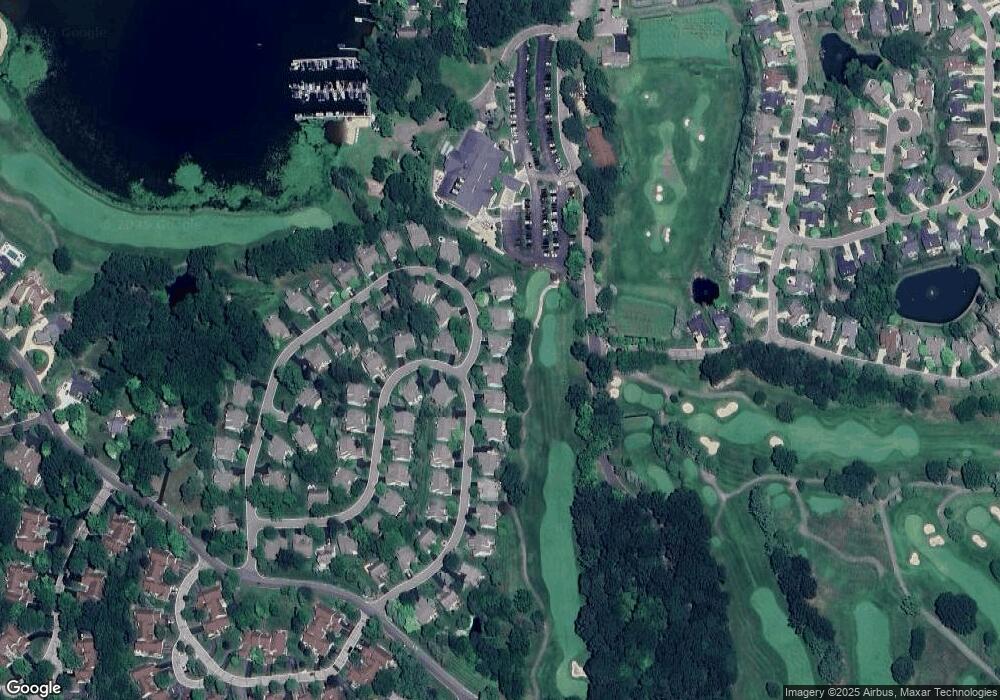
Map
Nearby Homes
- 4663 Huntington Dr Unit 20
- 4868 Pine Eagles Ct Unit 1
- 4441 Glen Eagles Ct Unit 87
- 4510 Filbert Dr
- 4075 Highcrest Dr
- 4955 Crooked Stick Ct
- 4227 Colonial Ct
- 3836 Highcrest Dr
- 5150 Old Hickory Dr
- 5728 Eggert Place
- 4580 Stillmeadow Dr
- 3480 E Coon Lake Rd
- 3186 Aspen Ridge Ct
- 5089 Northfield Dr Unit 10
- 1047 Weatherstone Ln
- 2895 Spring Hill Dr
- 2861 Spring Hill Dr
- Parcel 2 E Coon Lake Rd
- Parcel 1 E Coon Lake Rd
- 5927 Nottingham Point
- 4608 1 Huntington Dr
- 4608 Huntington Dr Unit 12 12
- 4608 Huntington Dr
- 4608 Huntington Dr Unit 12
- 4586 Huntington Dr Unit 10
- 46081 Huntington Dr
- 4593 Huntington Dr
- 4709 Roundtree Dr Unit 9
- 4614 Huntington Dr
- 4614 Huntington Dr Unit 13
- 4607 Huntington Dr
- 4702 Roundtree Dr
- 4702 Roundtree Dr Unit 28
- 4715 Roundtree Dr Unit 8
- 4620 Huntington Dr Unit 14
- 4631 Huntington Dr
- 4631 Huntington Dr Unit 22
- 4697 Roundtree Dr Unit 25
- 4688 Roundtree Dr
- 4716 Roundtree Dr