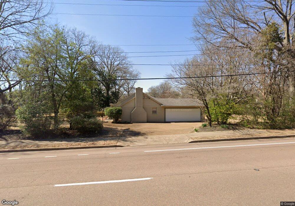
4600 Normandy Ave Memphis, TN 38117
East Memphis NeighborhoodEstimated Value: $386,000 - $400,000
3
Beds
2
Baths
2,168
Sq Ft
$181/Sq Ft
Est. Value
About This Home
This home is located at 4600 Normandy Ave, Memphis, TN 38117 and is currently estimated at $393,407, approximately $181 per square foot. 4600 Normandy Ave is a home located in Shelby County with nearby schools including White Station Elementary School, White Station High, and White Station Middle.
Ownership History
Date
Name
Owned For
Owner Type
Purchase Details
Closed on
Dec 10, 1996
Sold by
Buck William H and Buck Margaret H
Bought by
Danish Kevin F
Current Estimated Value
Home Financials for this Owner
Home Financials are based on the most recent Mortgage that was taken out on this home.
Original Mortgage
$150,000
Outstanding Balance
$13,383
Interest Rate
7.77%
Estimated Equity
$380,024
Create a Home Valuation Report for This Property
The Home Valuation Report is an in-depth analysis detailing your home's value as well as a comparison with similar homes in the area
Home Values in the Area
Average Home Value in this Area
Purchase History
| Date | Buyer | Sale Price | Title Company |
|---|---|---|---|
| Danish Kevin F | $220,000 | Lawyers Title Insurance Corp | |
| Danish Kevin F | $220,000 | Lawyers Title Insurance Corp |
Source: Public Records
Mortgage History
| Date | Status | Borrower | Loan Amount |
|---|---|---|---|
| Open | Danish Kevin F | $150,000 | |
| Closed | Danish Kevin F | $150,000 |
Source: Public Records
Tax History
| Year | Tax Paid | Tax Assessment Tax Assessment Total Assessment is a certain percentage of the fair market value that is determined by local assessors to be the total taxable value of land and additions on the property. | Land | Improvement |
|---|---|---|---|---|
| 2025 | -- | $106,050 | $59,700 | $46,350 |
| 2024 | -- | $107,100 | $59,700 | $47,400 |
| 2023 | $6,524 | $107,100 | $59,700 | $47,400 |
| 2022 | $6,524 | $107,100 | $59,700 | $47,400 |
| 2021 | $6,601 | $107,100 | $59,700 | $47,400 |
| 2020 | $6,290 | $86,800 | $59,700 | $27,100 |
| 2019 | $6,290 | $86,800 | $59,700 | $27,100 |
| 2018 | $6,290 | $86,800 | $59,700 | $27,100 |
| 2017 | $3,567 | $86,800 | $59,700 | $27,100 |
| 2016 | $3,400 | $77,800 | $0 | $0 |
| 2014 | $3,400 | $77,800 | $0 | $0 |
Source: Public Records
Map
Nearby Homes
- 4565 Normandy Rd
- 4525 Barfield Rd
- 91 N Grove Park Rd
- 4640 Chickasaw Rd
- 180 Waring Rd
- 150 Waring Rd
- 4798 Normandy Ln
- 4766 Chickasaw Rd
- 4525 Sequoia Rd
- 240 Avon Rd
- 4809 Normandy Ln
- 4578 Sequoia Rd
- 140 S Grove Park Rd
- 352 Avon Rd
- 4866 Barfield Rd
- 354 Avon Rd
- 4303 Hathaway Ln
- 130 Greenbriar Dr
- 455 Oma Cove
- 207 Gardenia Cove
- 4584 Normandy Ave
- 130 N Perkins Rd
- 4601 Barfield Rd
- 140 N Perkins Rd
- 4601 Normandy Ave
- 4570 Normandy Rd
- 4589 Normandy Ave
- 4585 Barfield Rd
- 4570 Normandy Ave
- 4581 Normandy Ave
- 110 N Perkins Rd
- 120 Perkins Extension
- 4571 Barfield Rd
- 4635 Barfield Rd
- 160 Perkins Extension
- 4565 Normandy Ave
- 4554 Normandy Ave
- 172 Perkins Extension
- 4632 Barfield Rd
- 4641 Barfield Rd
Your Personal Tour Guide
Ask me questions while you tour the home.